10 Street Name, City Name
Country, Zip Code
555-555-5555
admin@lidaholics.com
FREE SHIPPING ON ORDERS OVER $99
$1,265.00
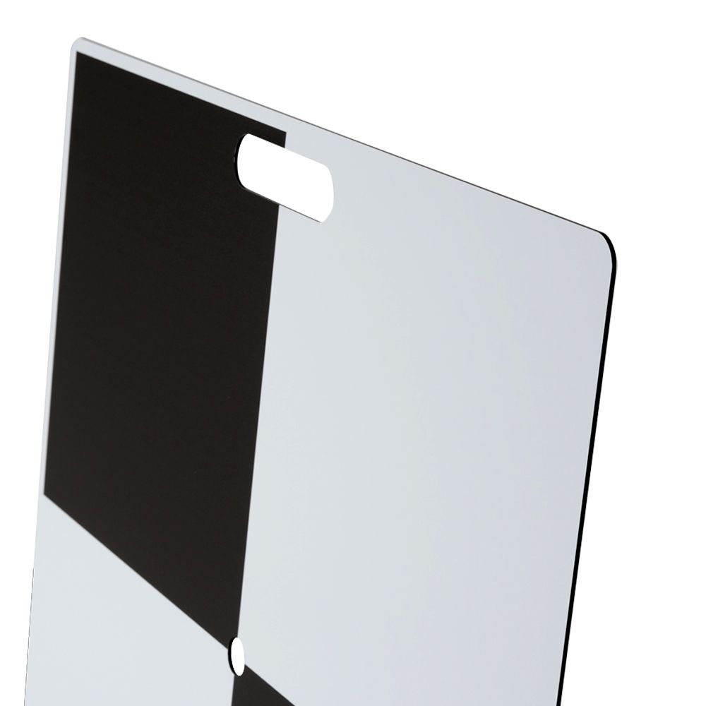
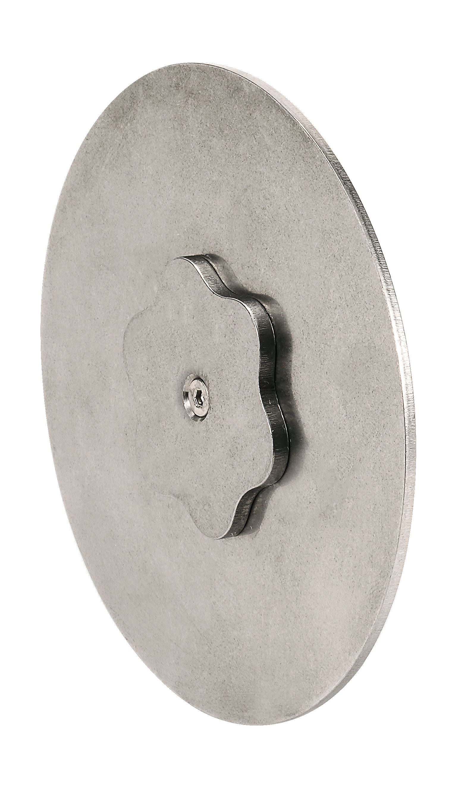
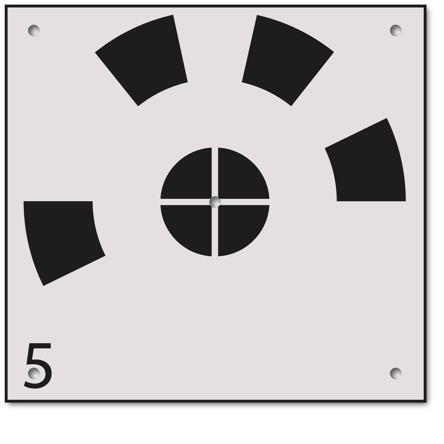
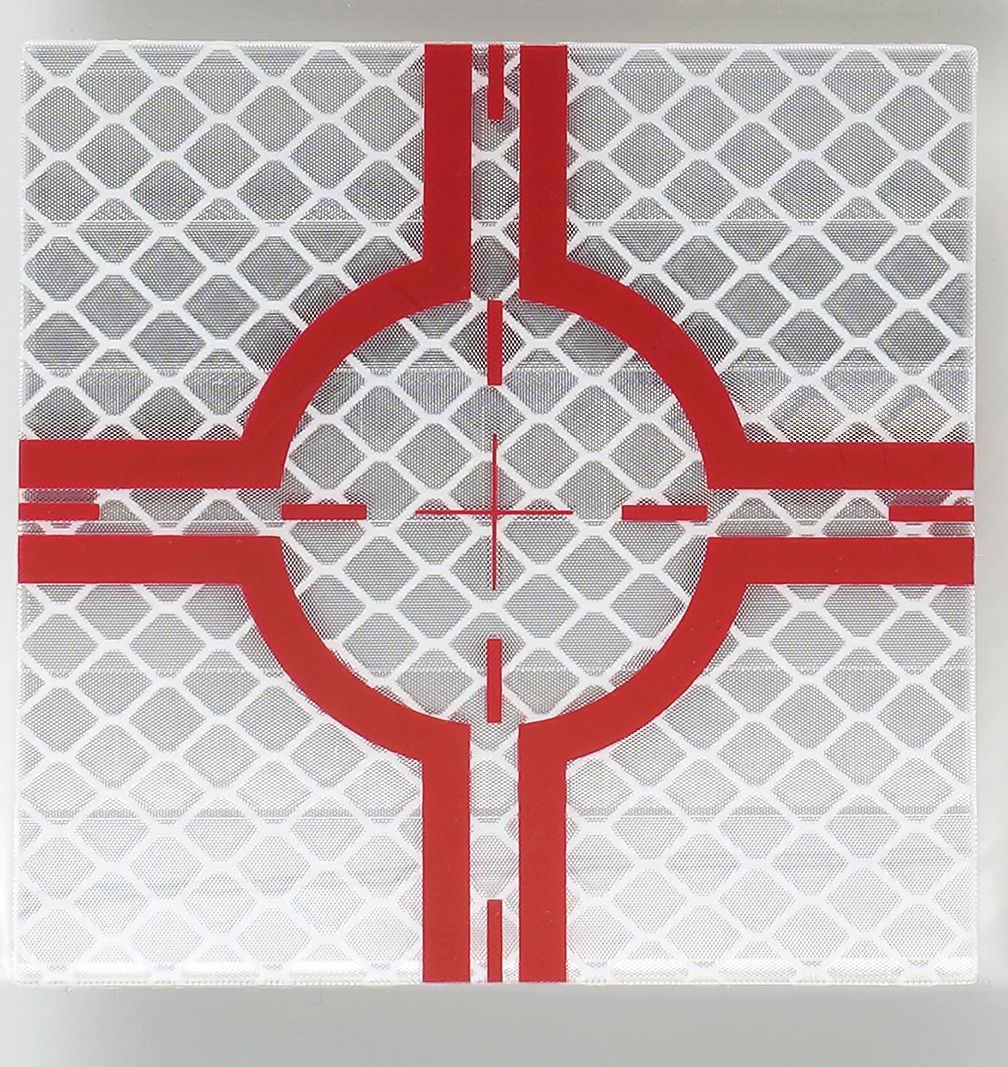
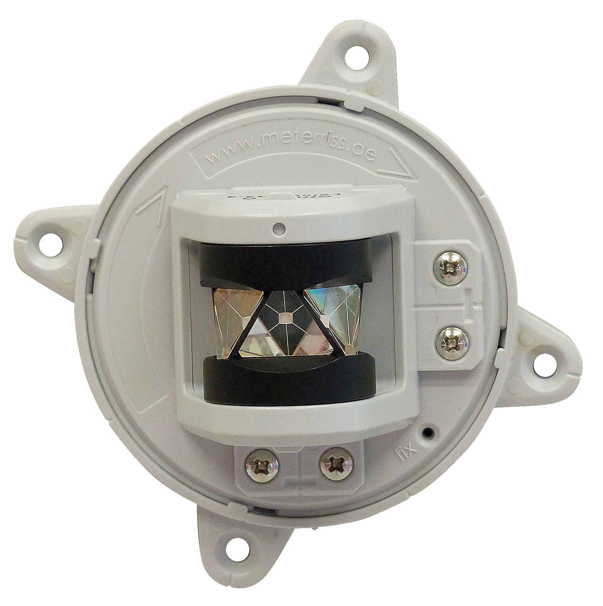
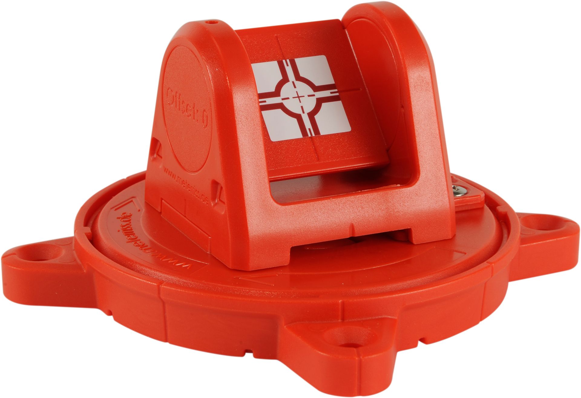
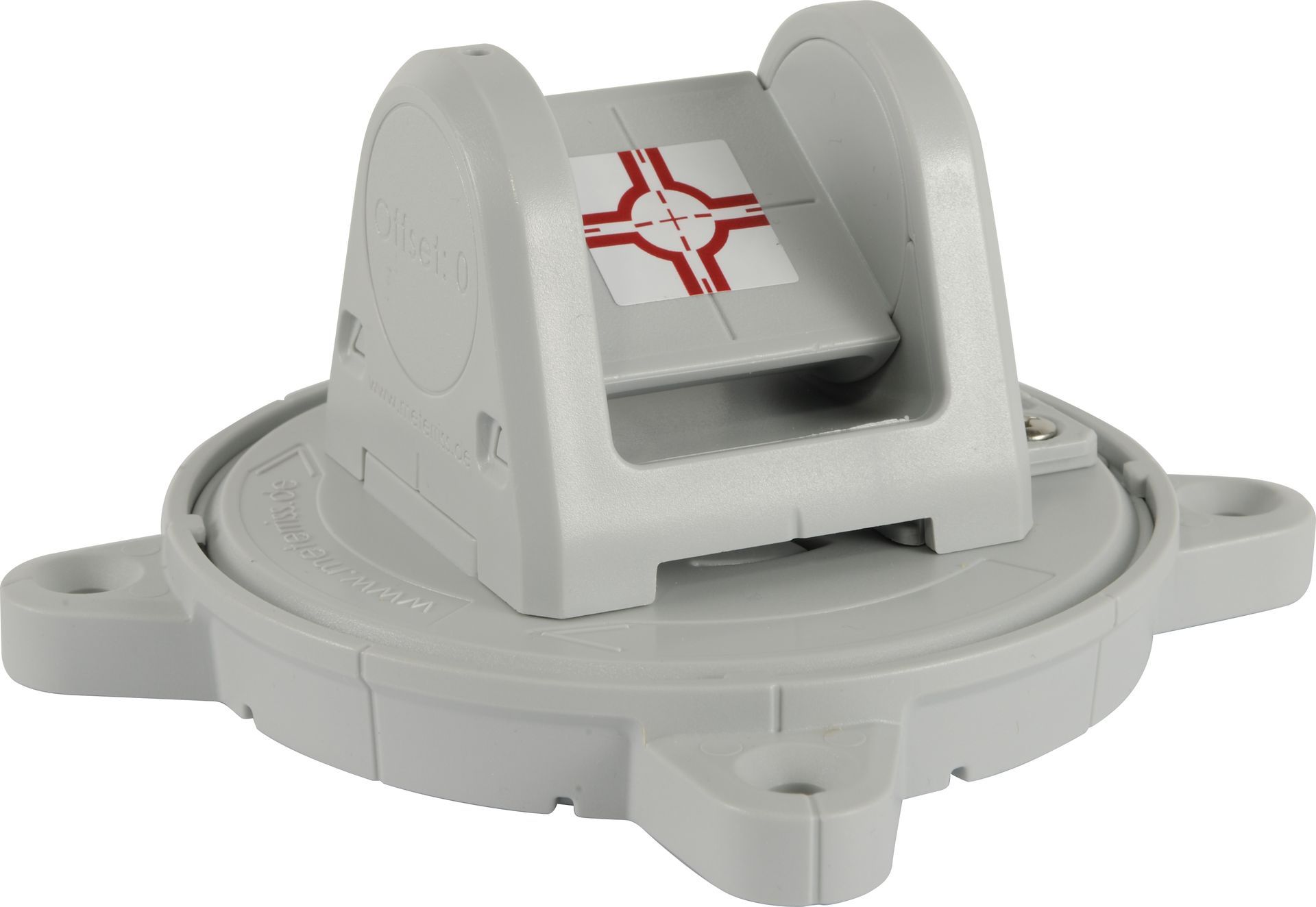
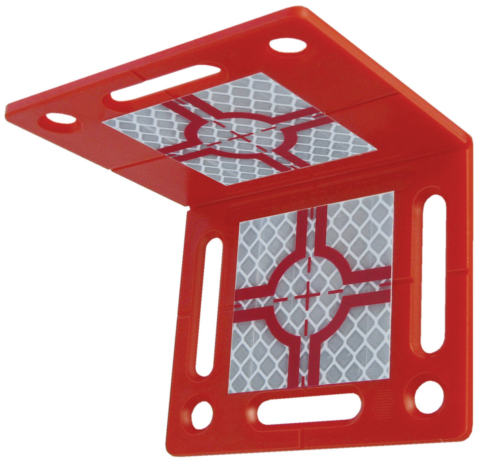
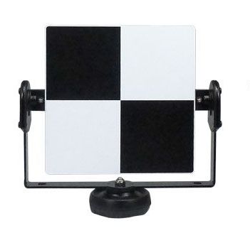
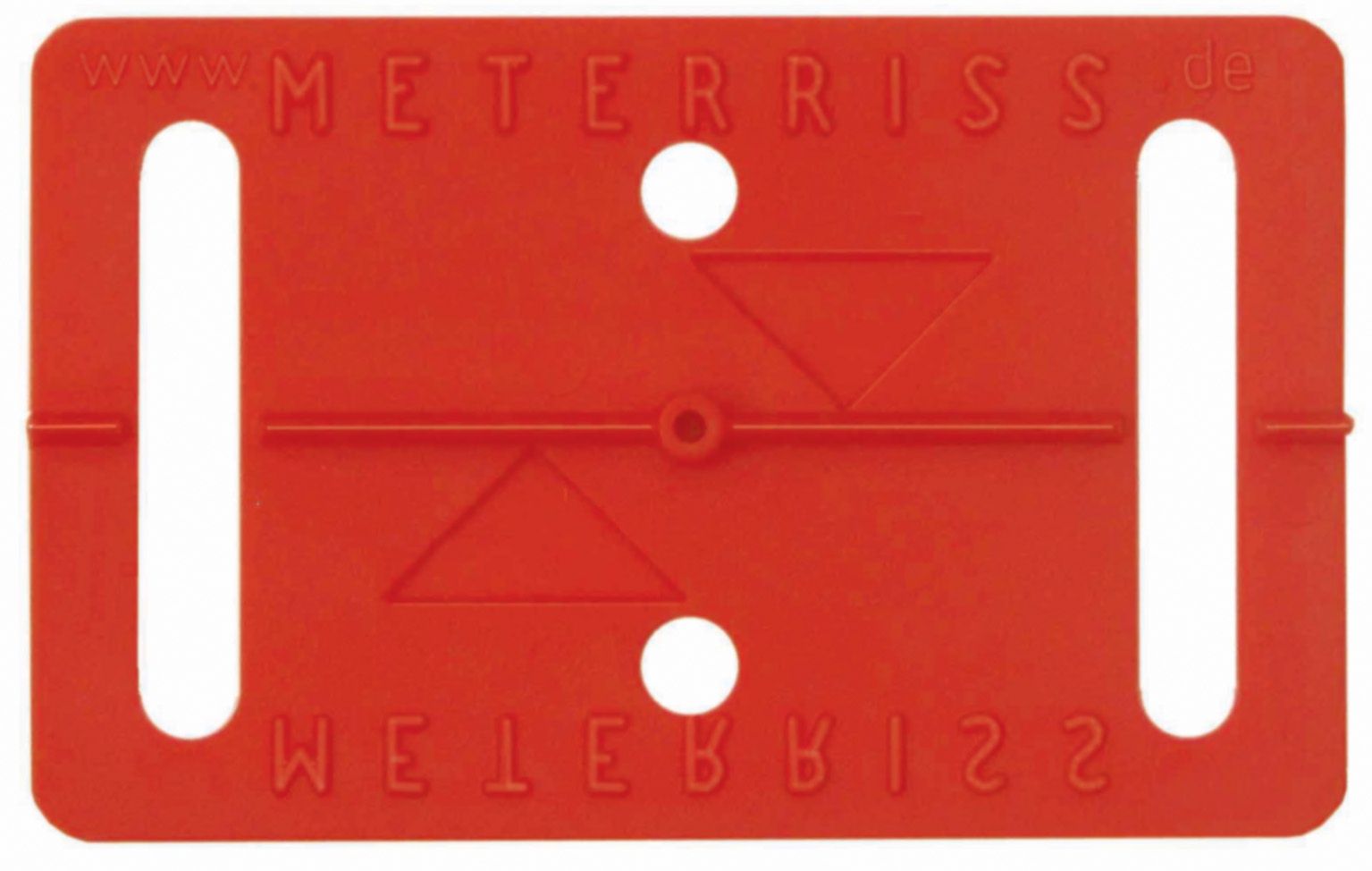
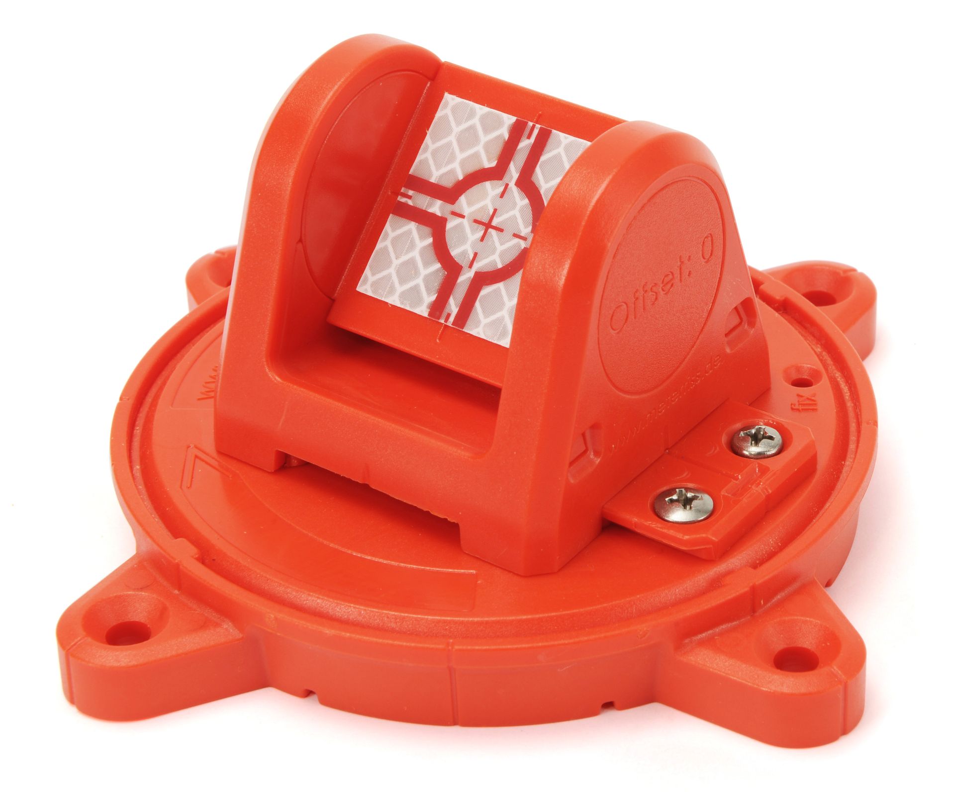
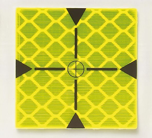
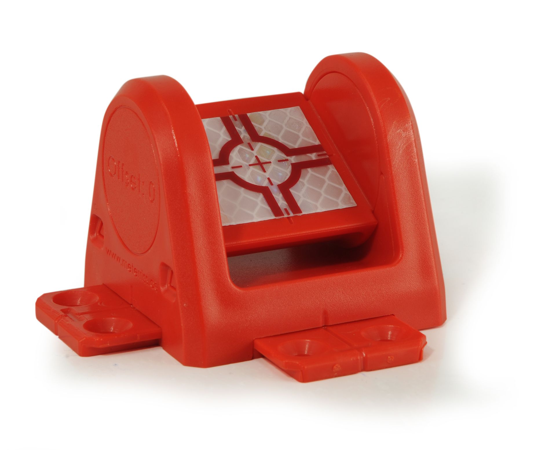
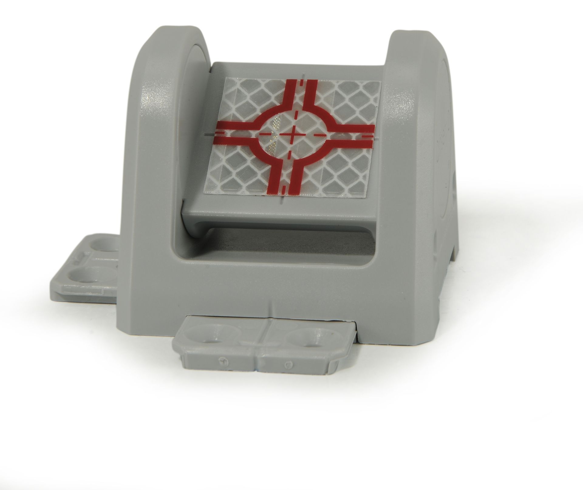
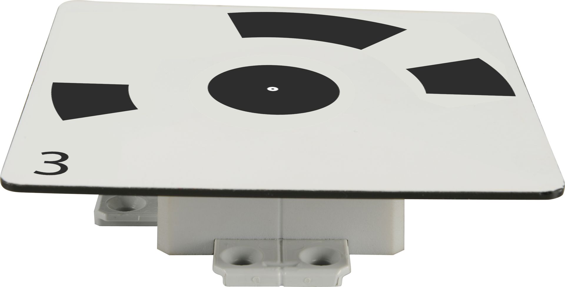
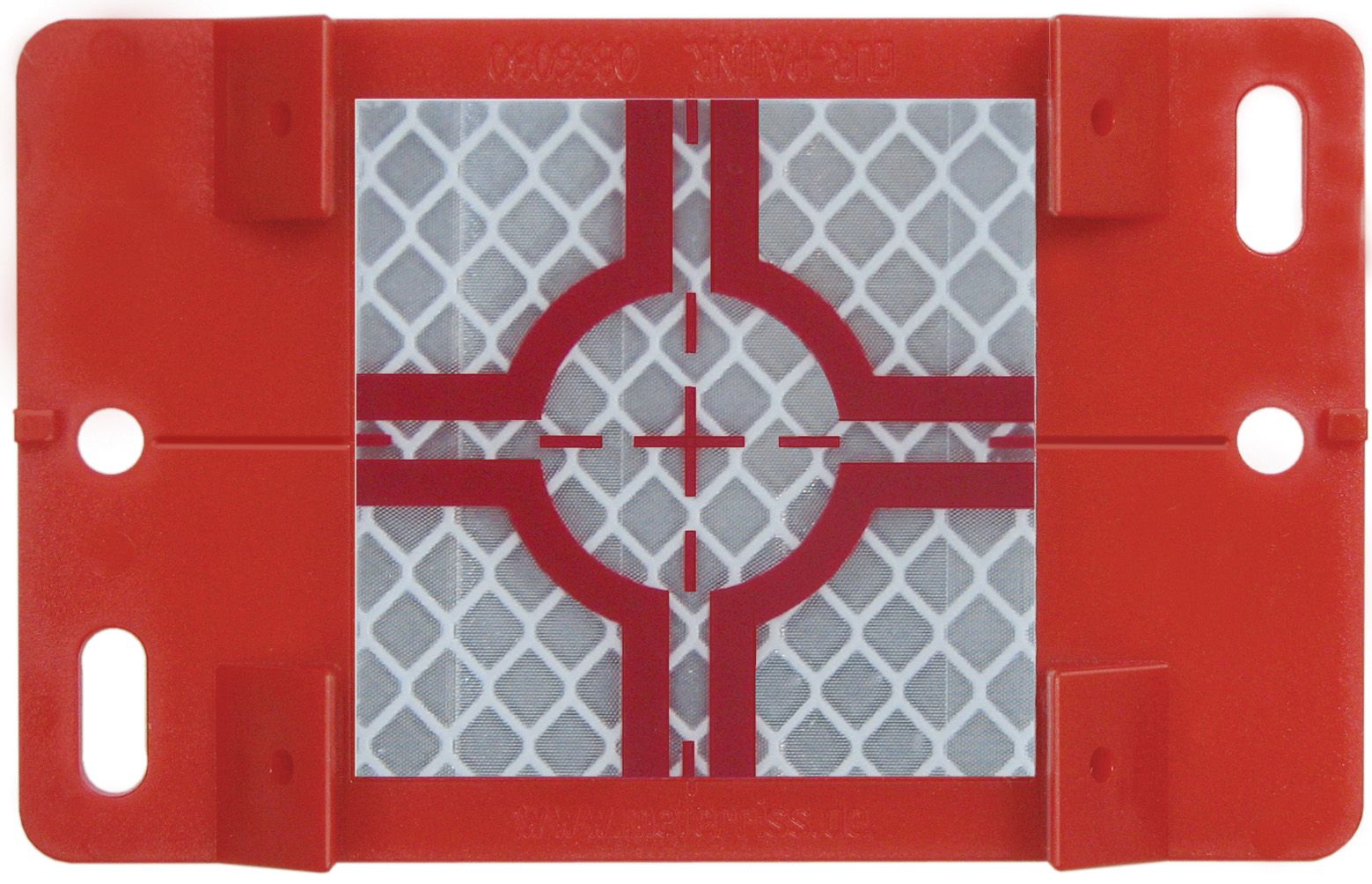
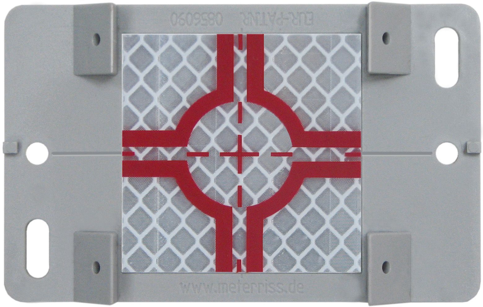
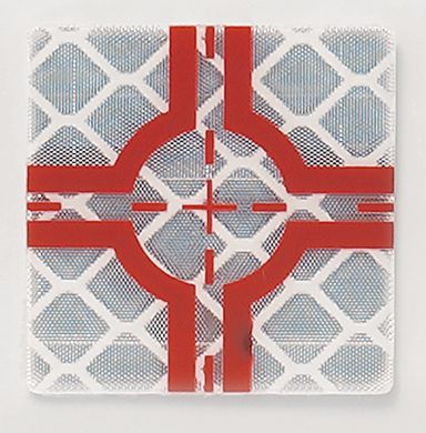
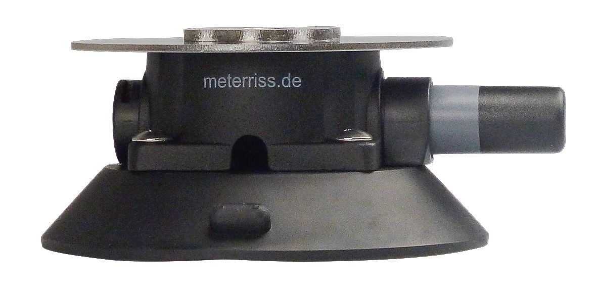
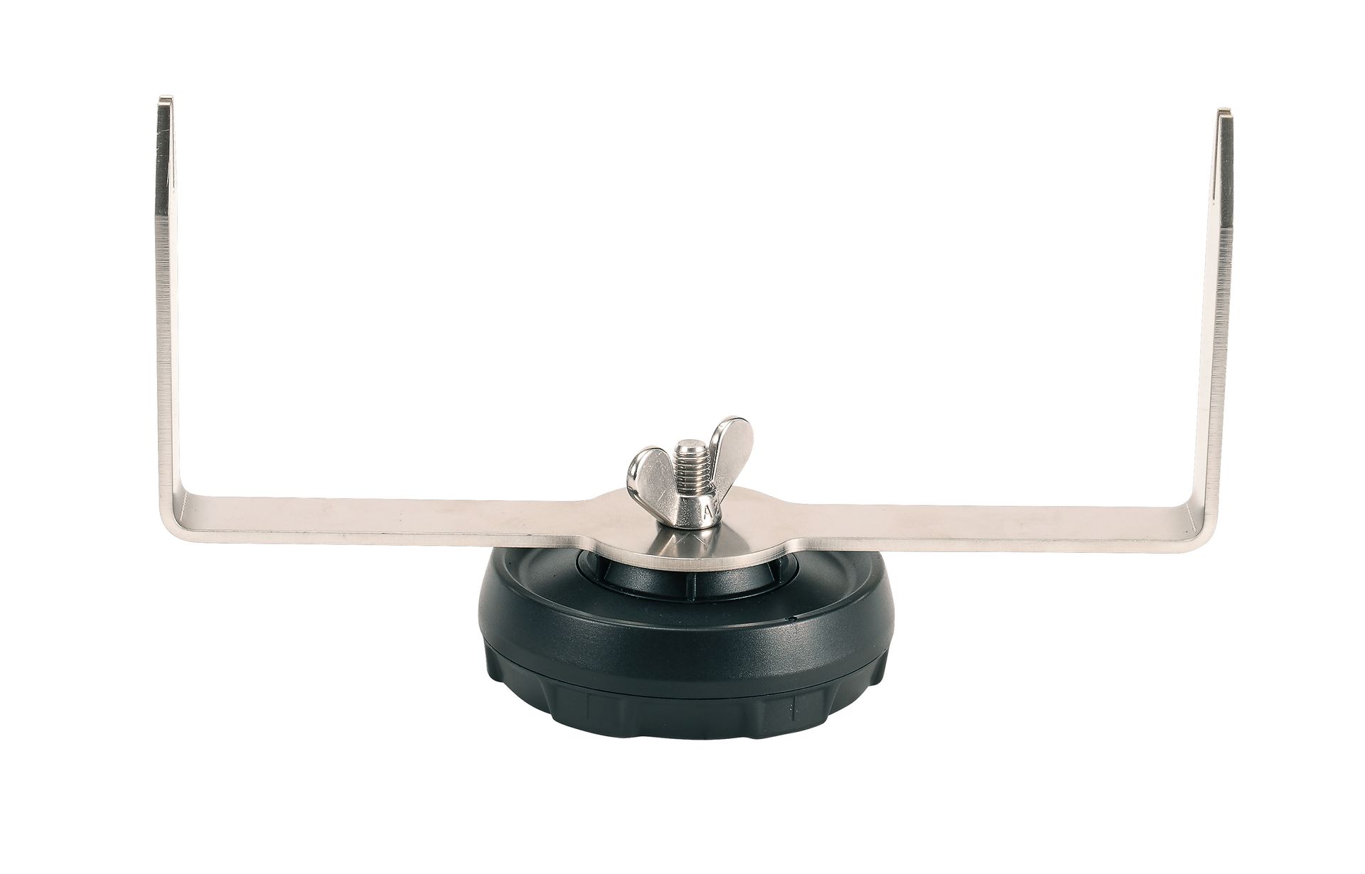
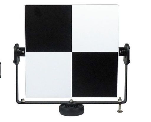
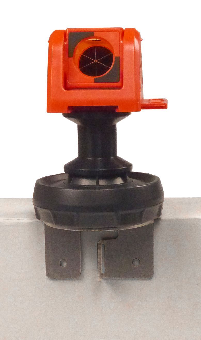
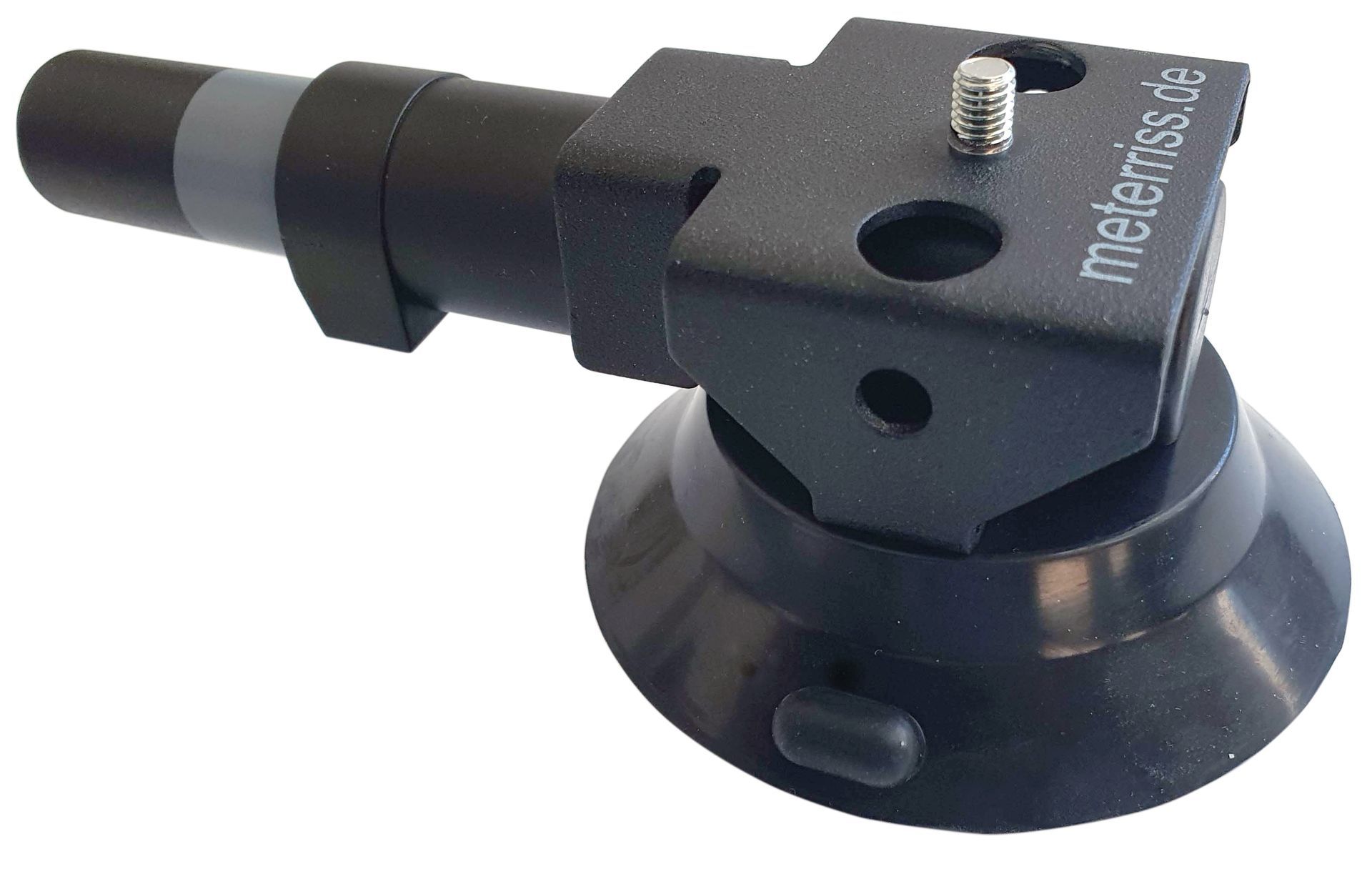
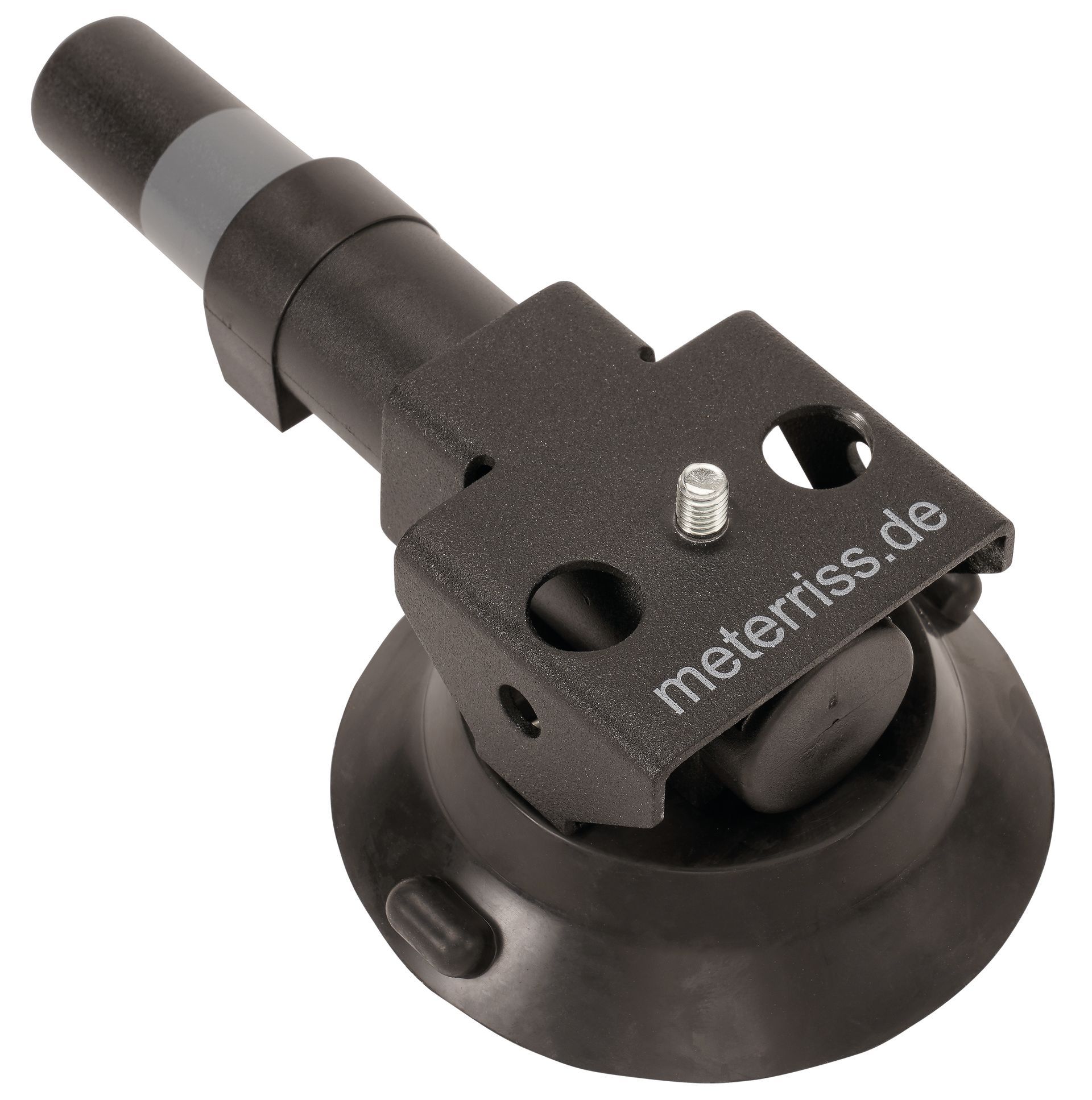
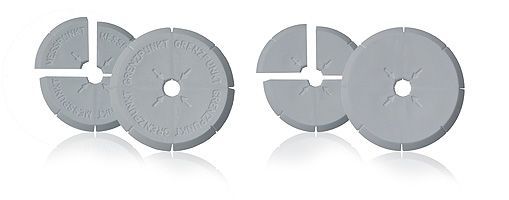
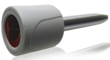
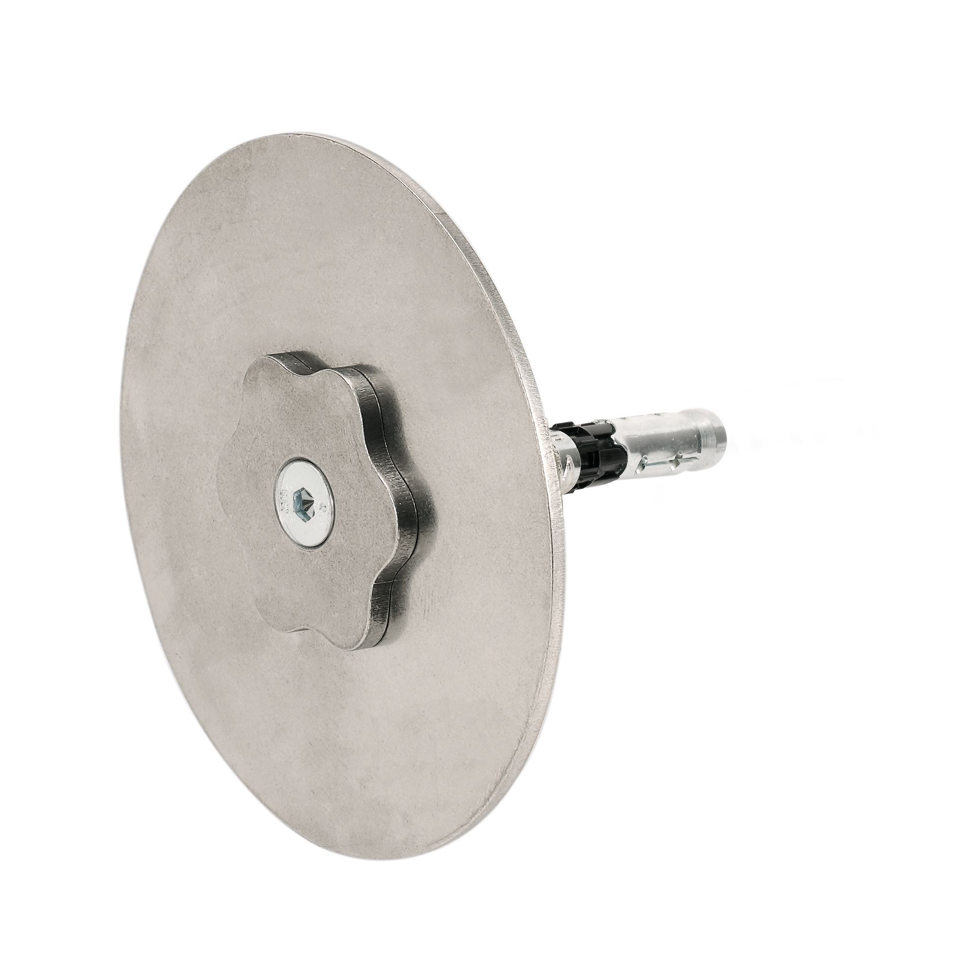
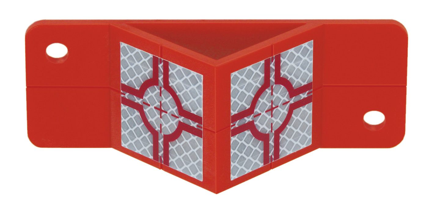
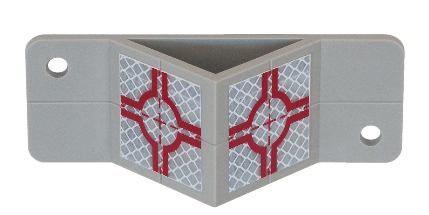
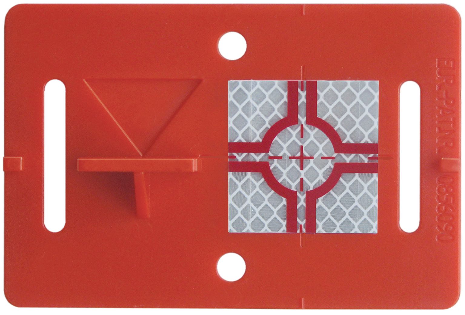
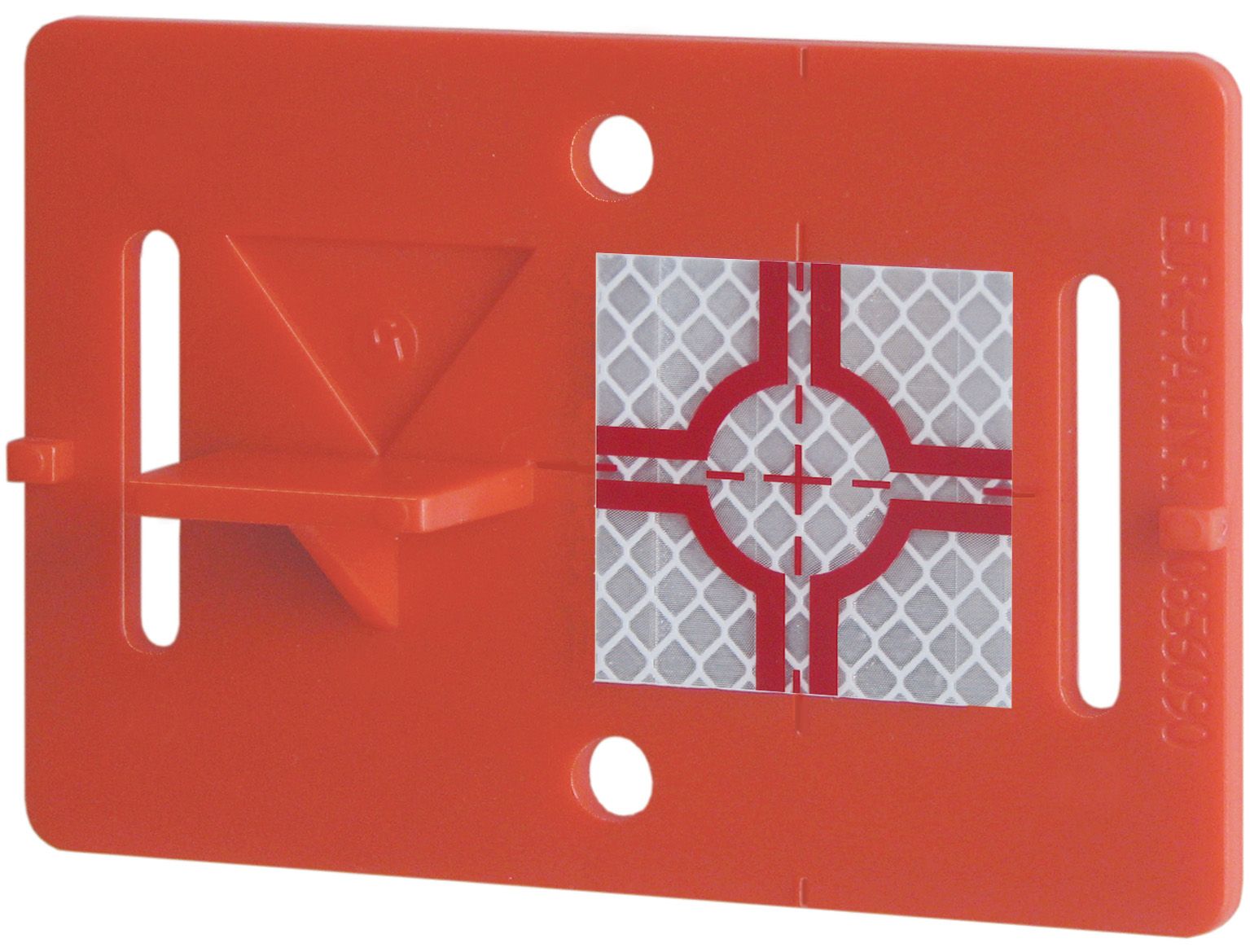
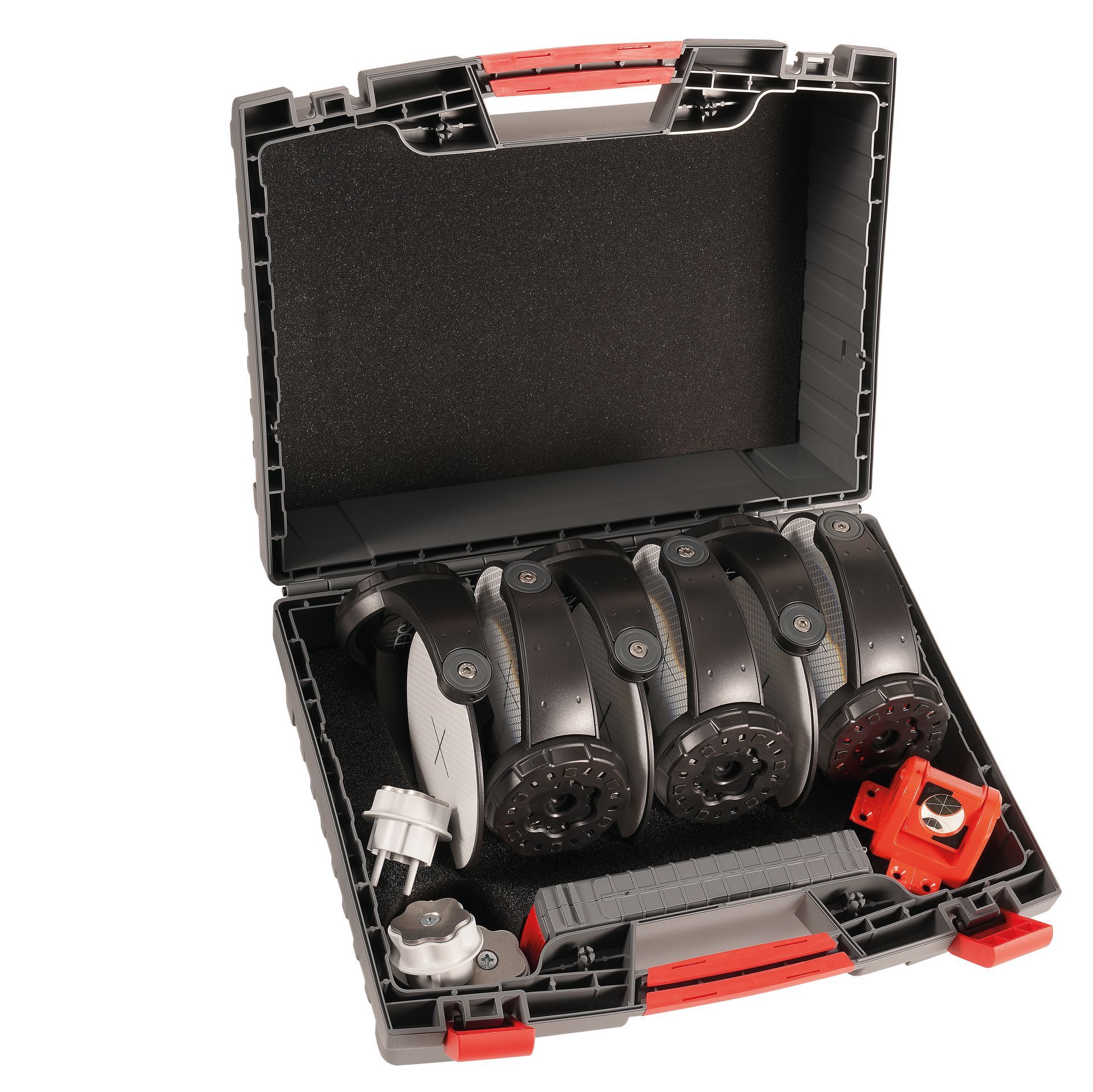
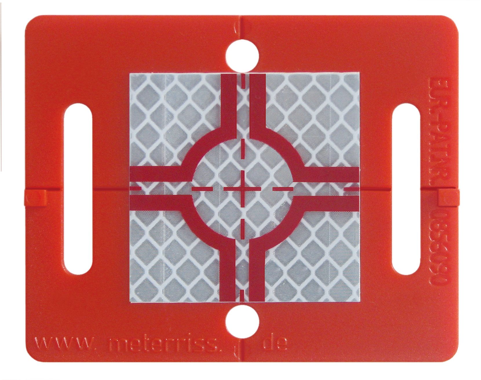
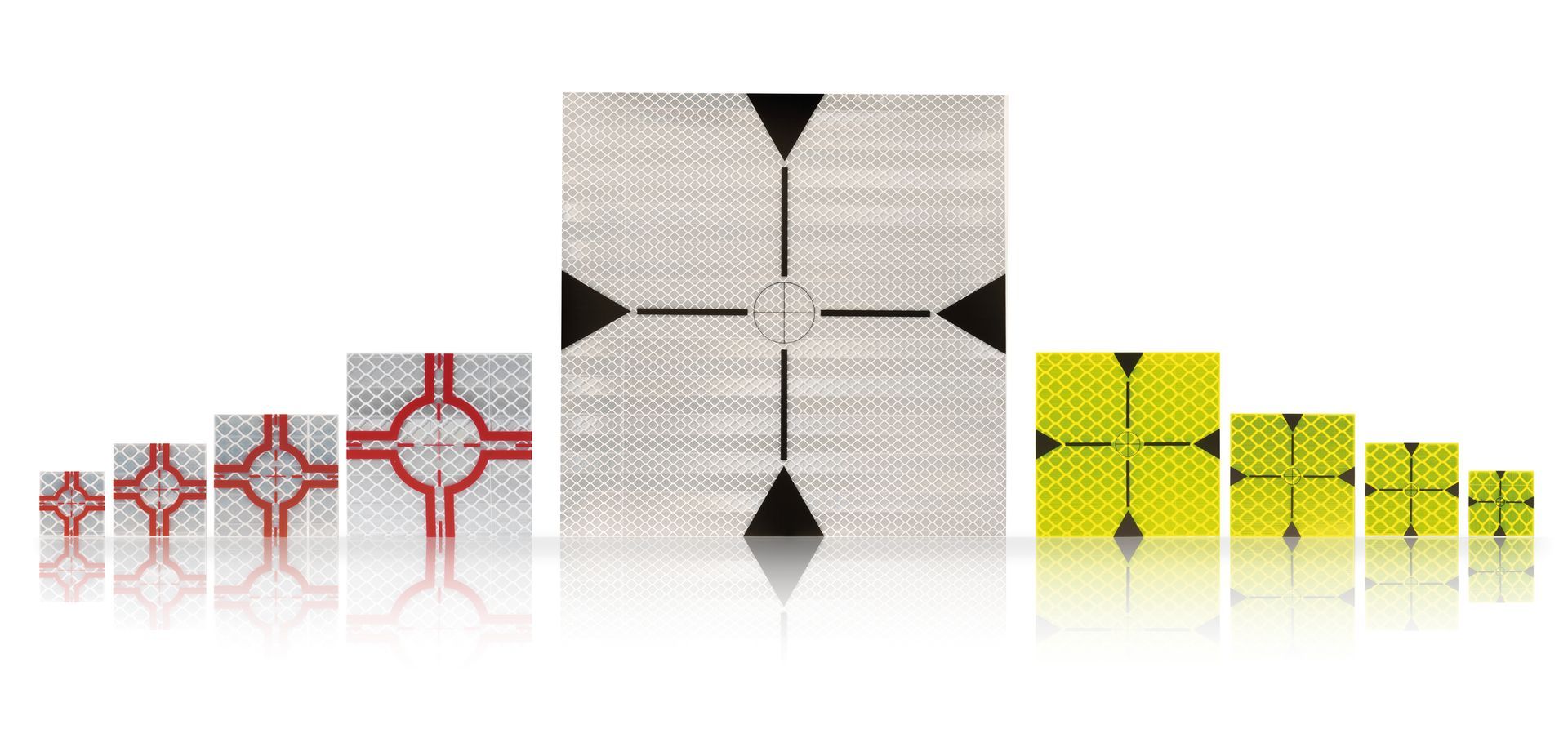
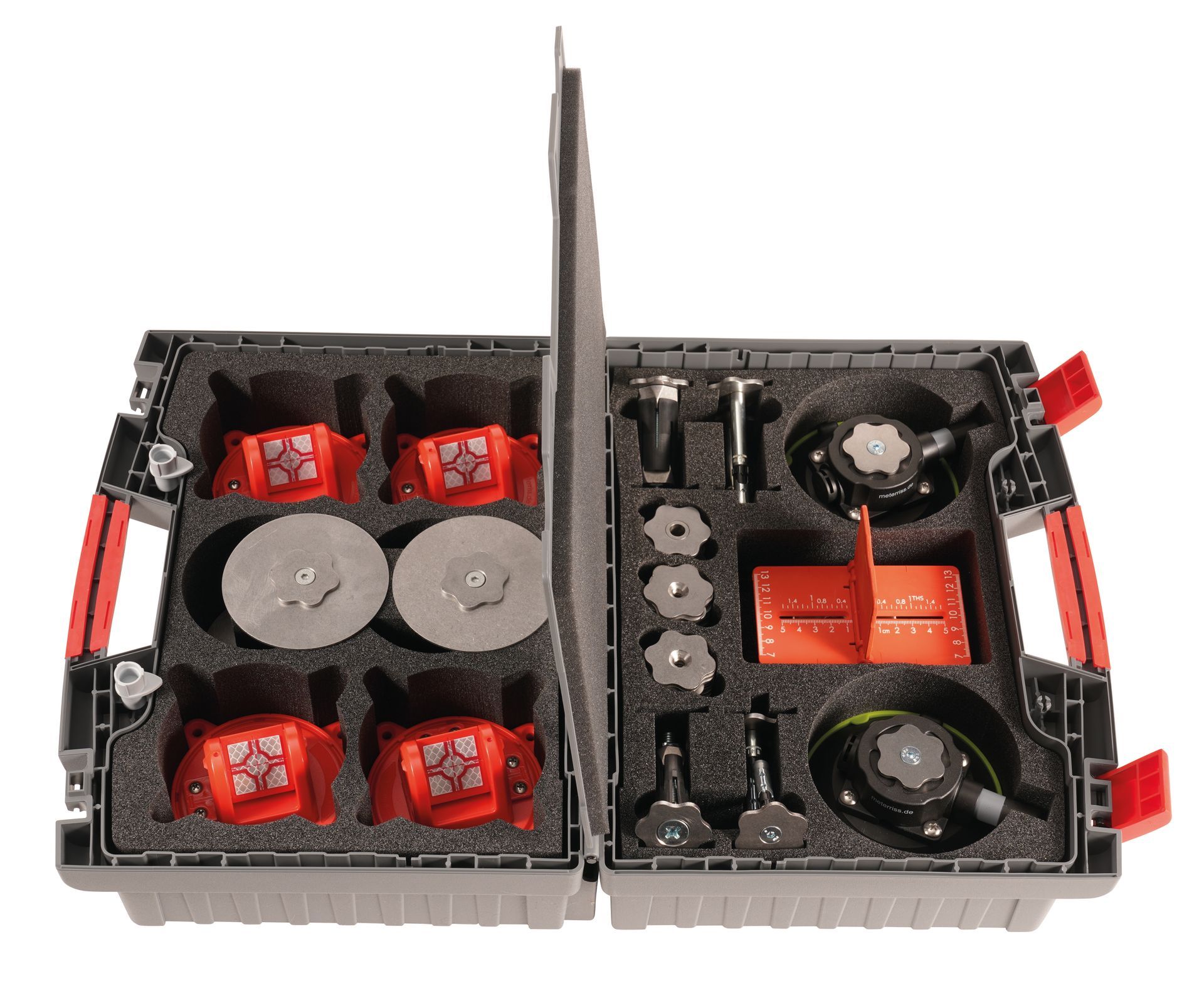
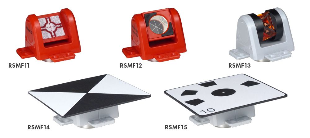
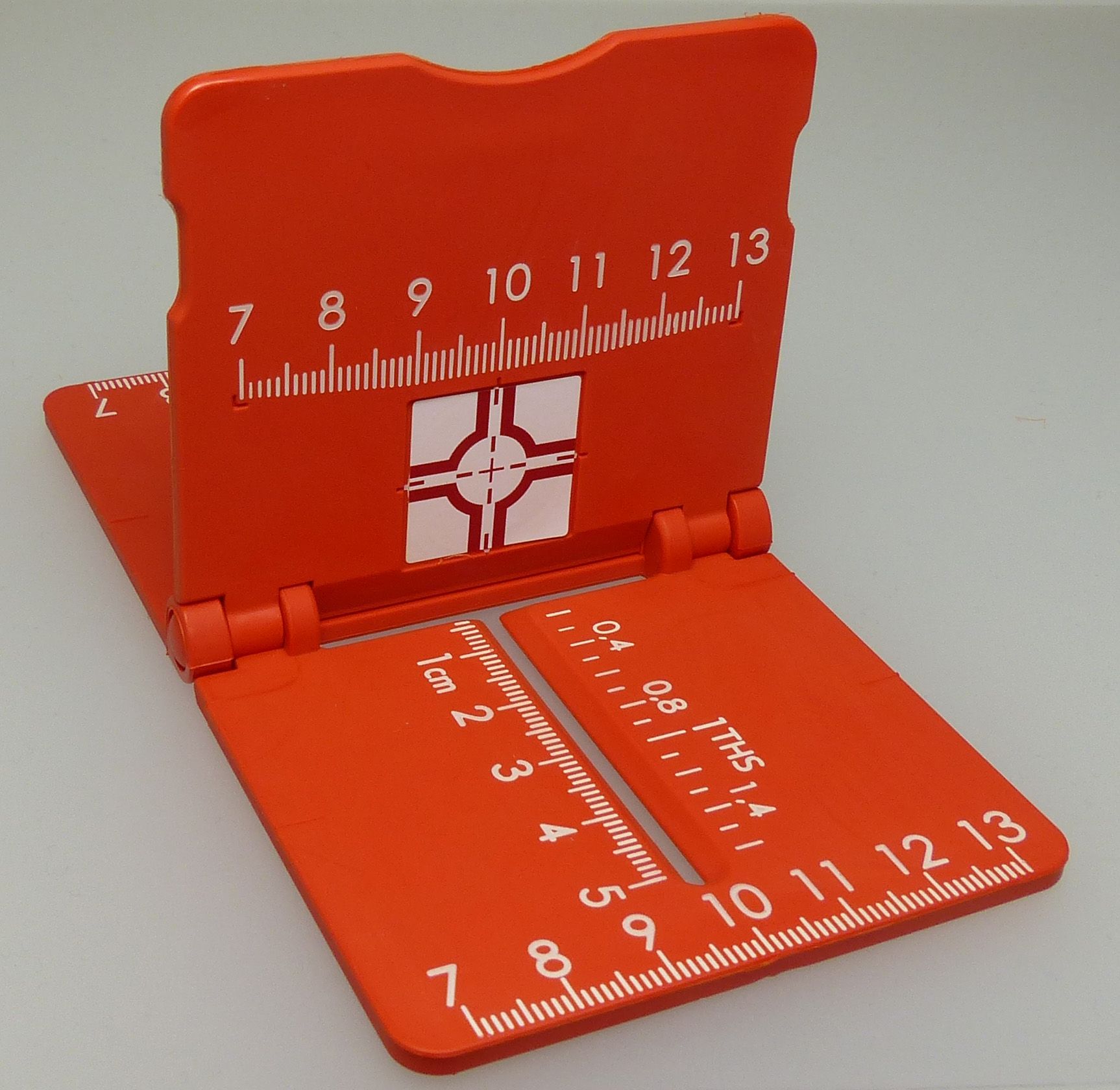
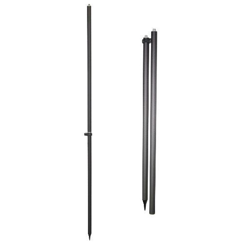
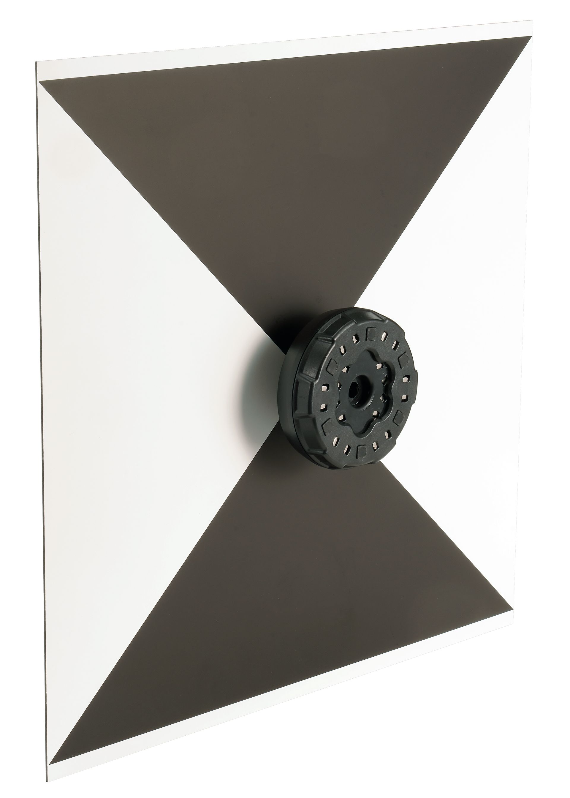
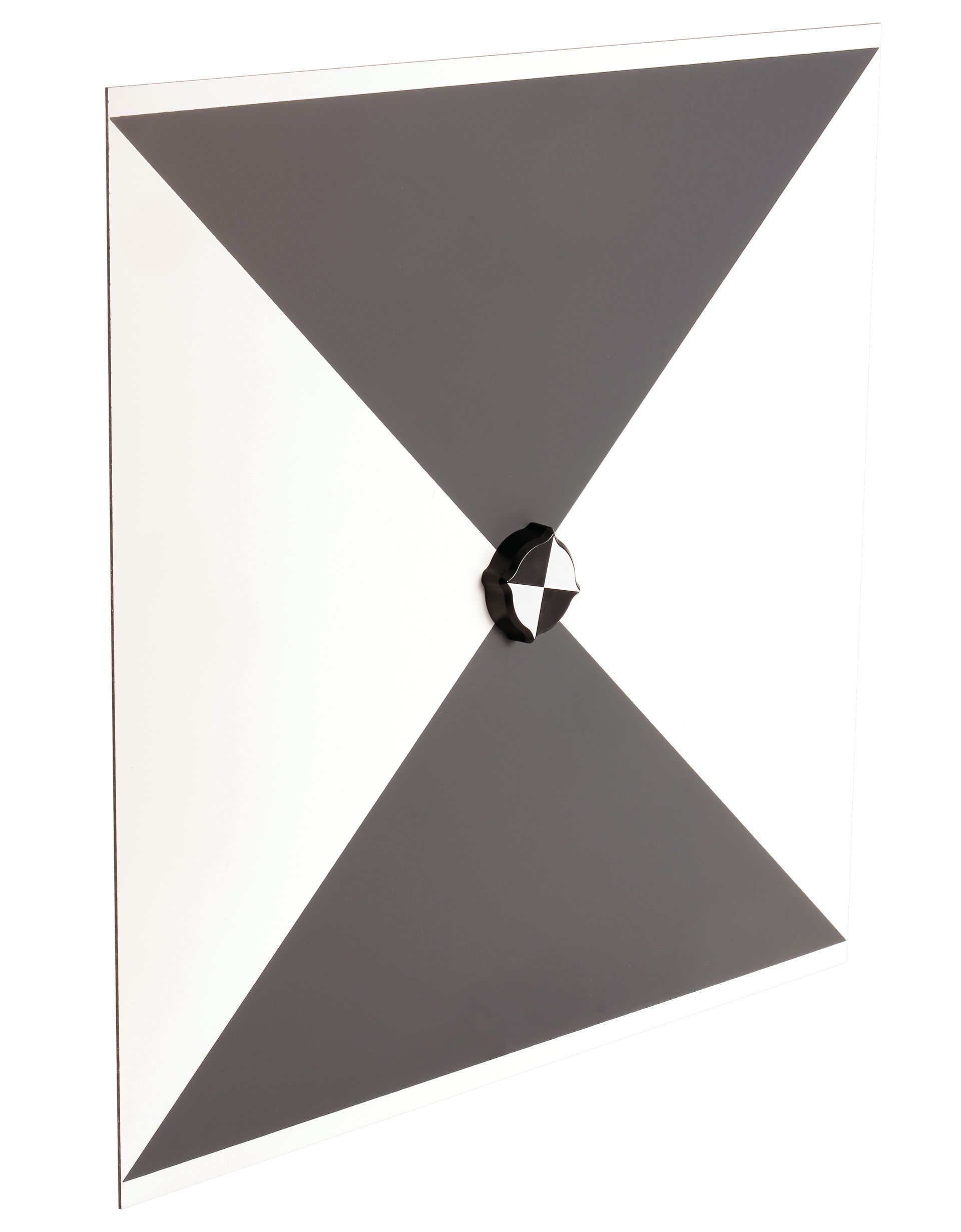
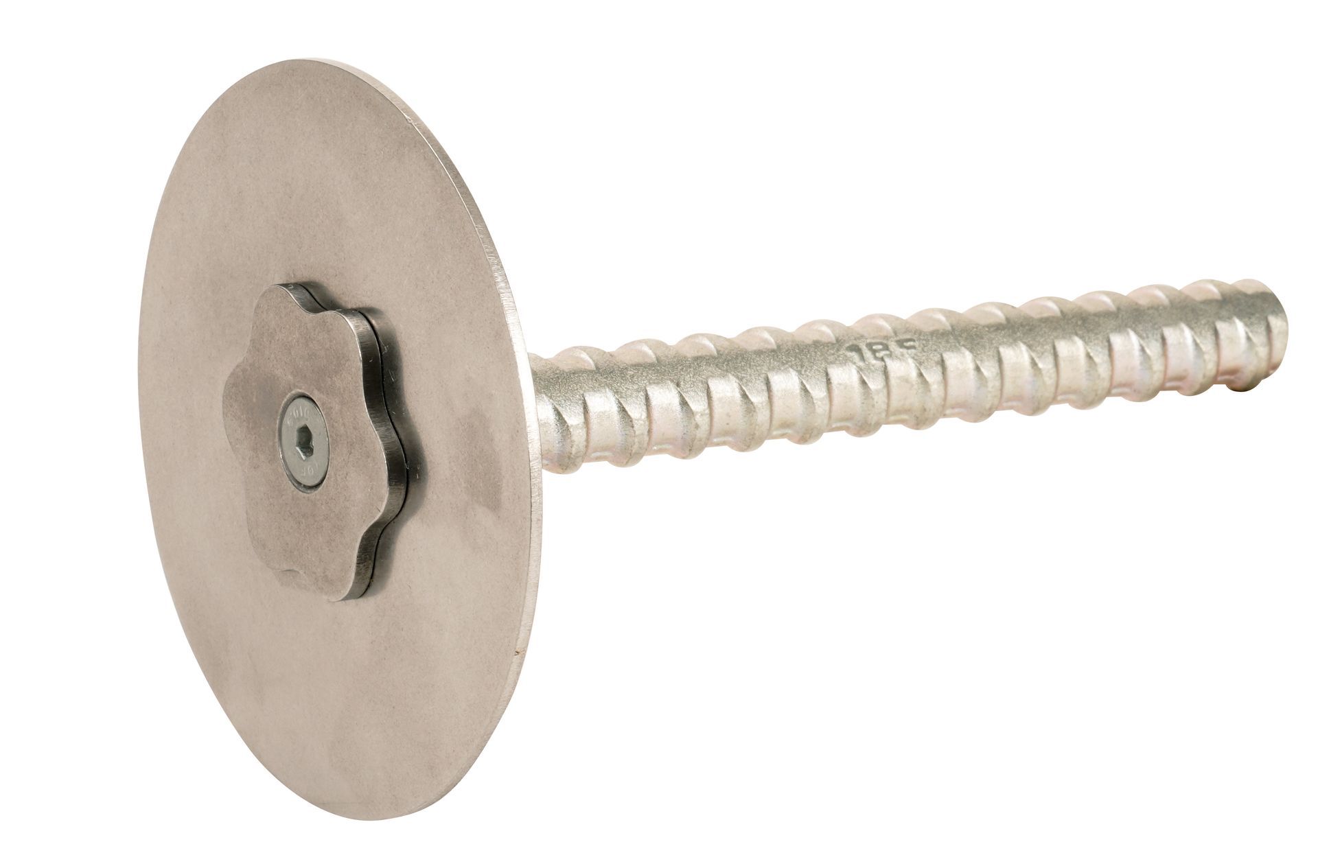
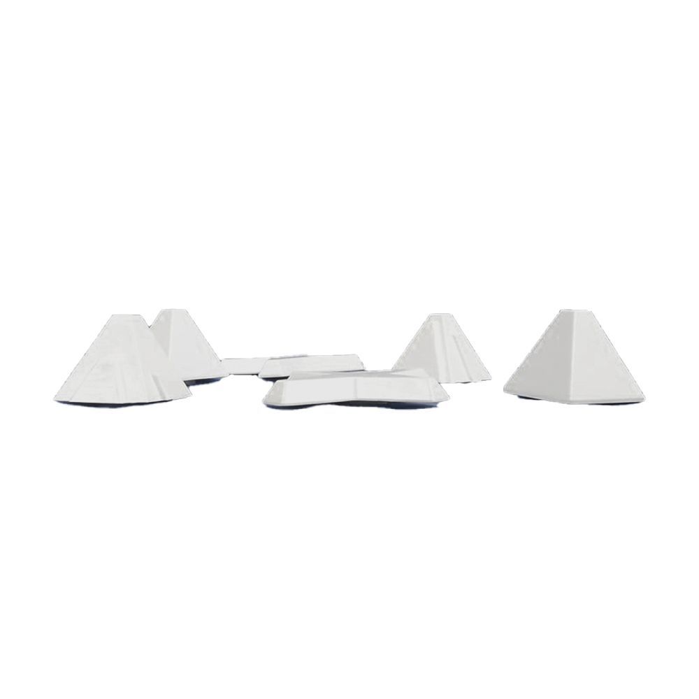
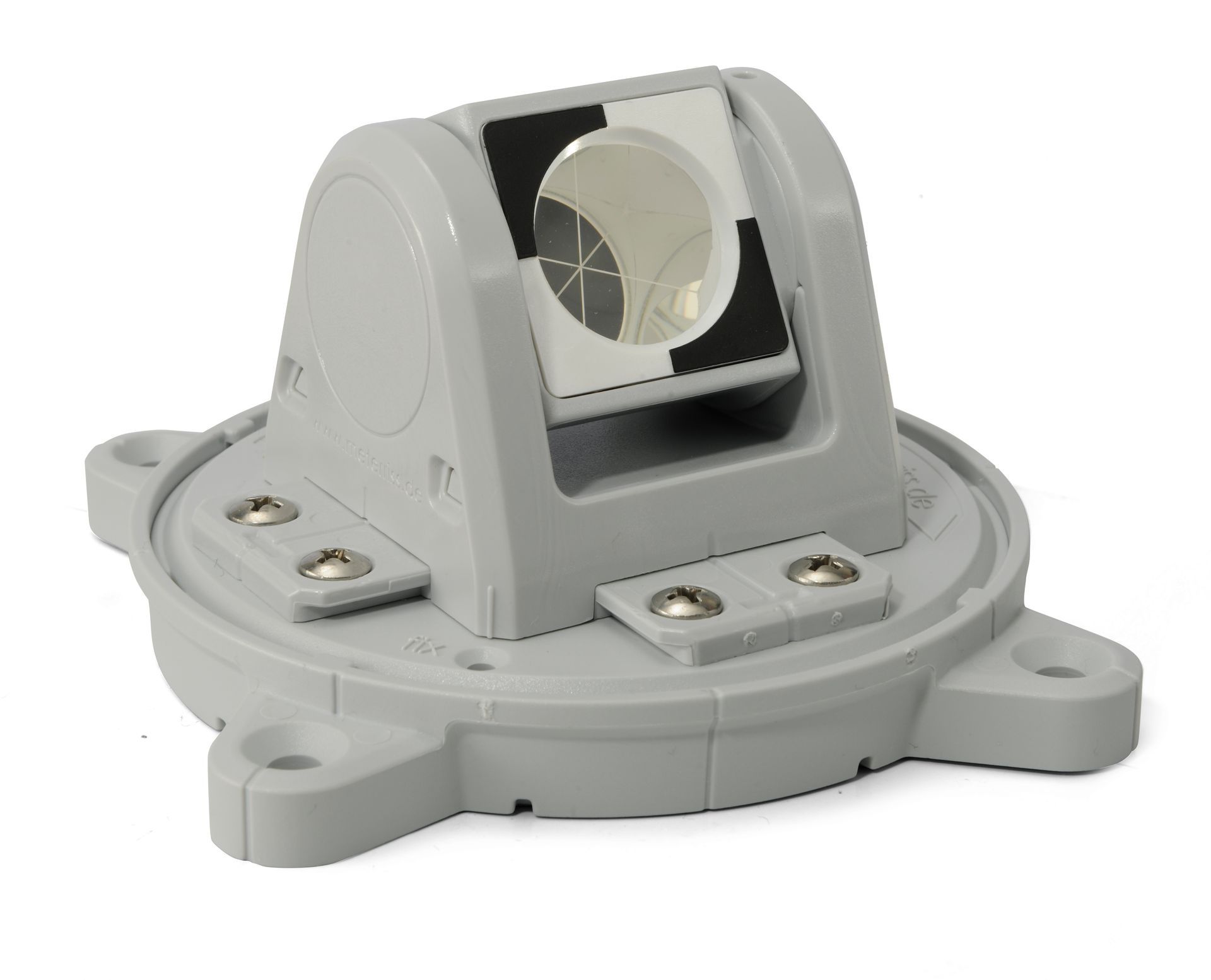
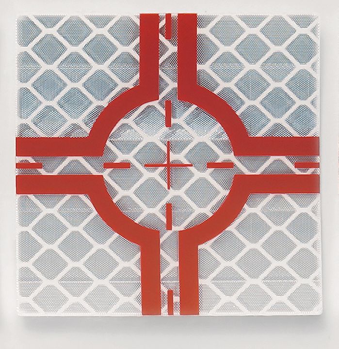
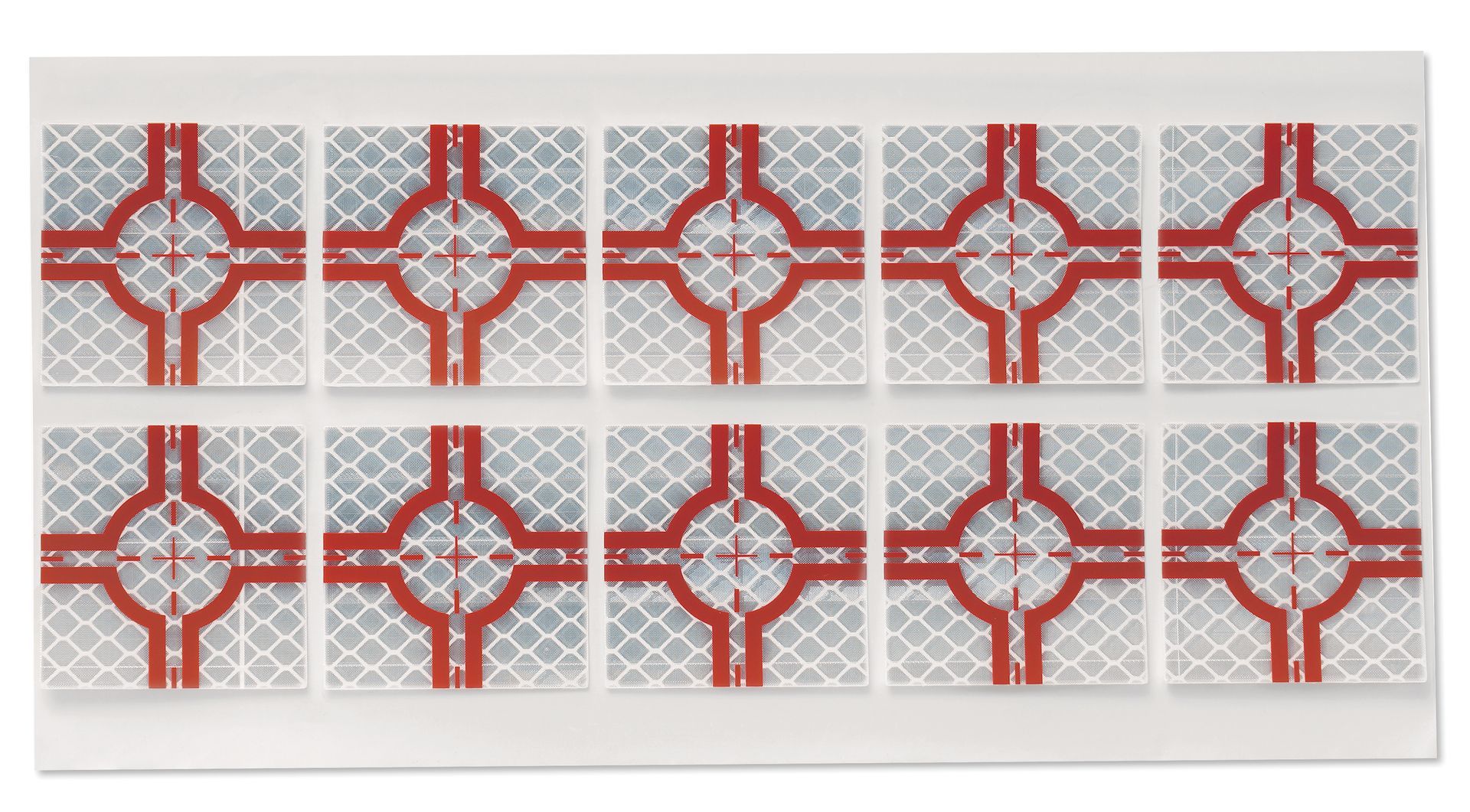
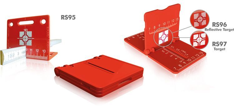
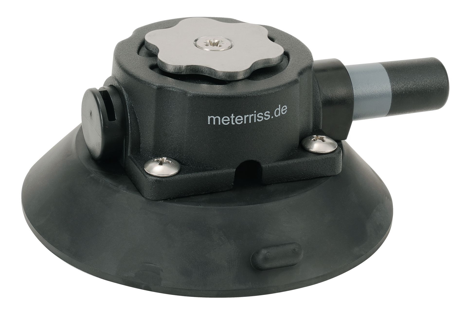
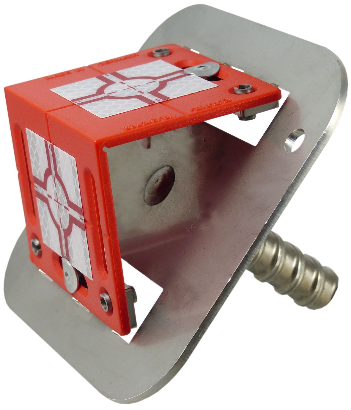
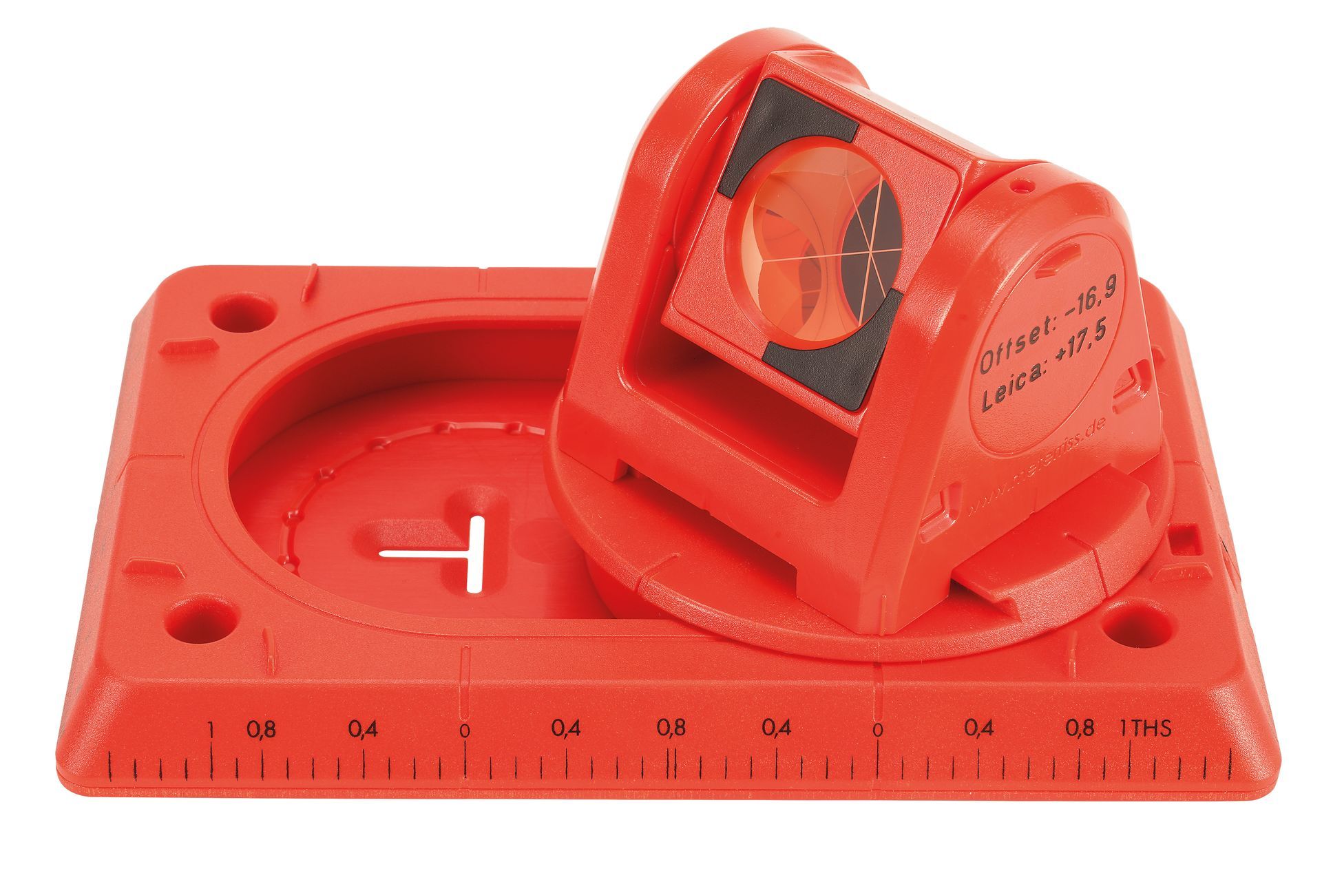
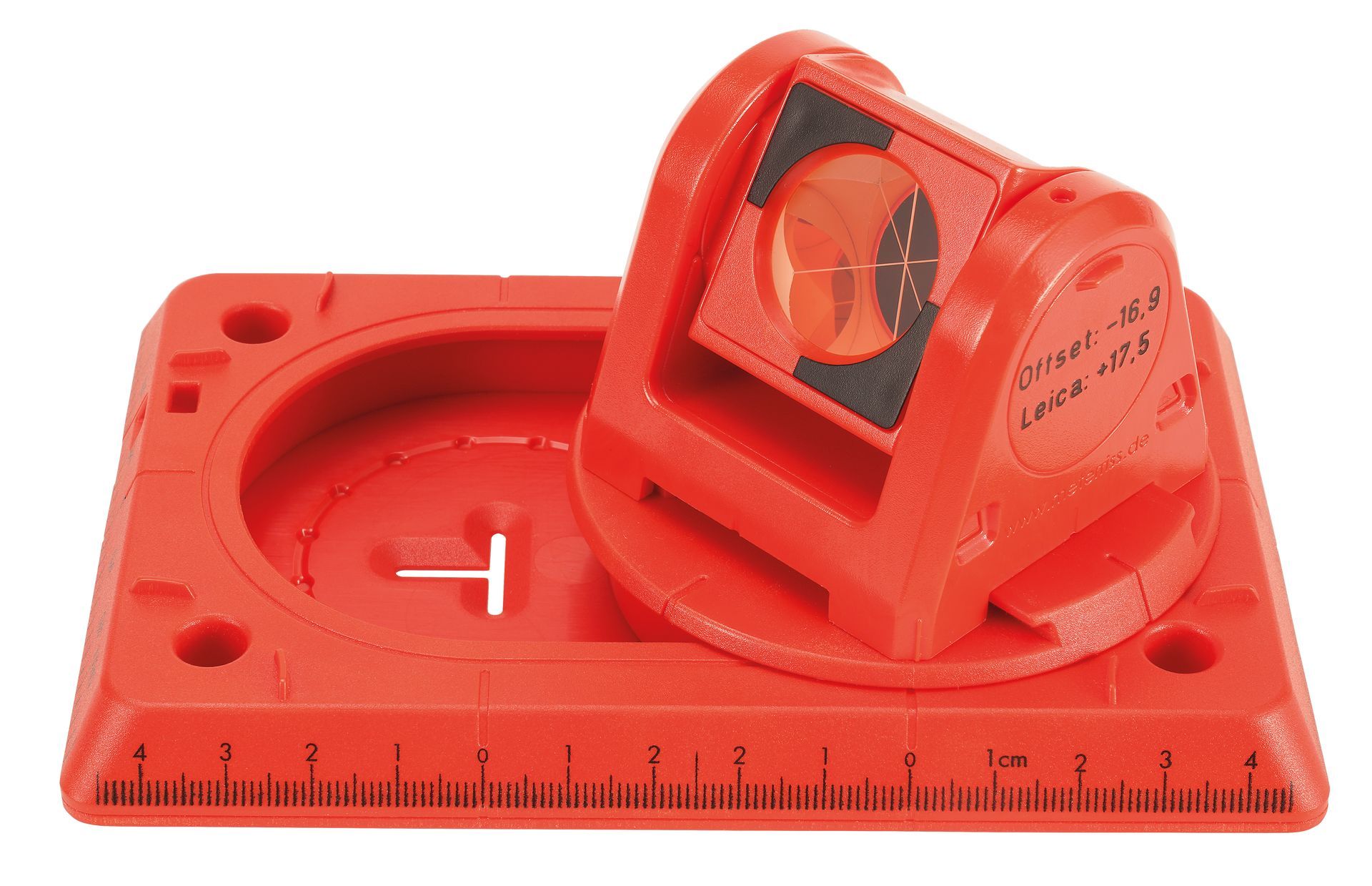
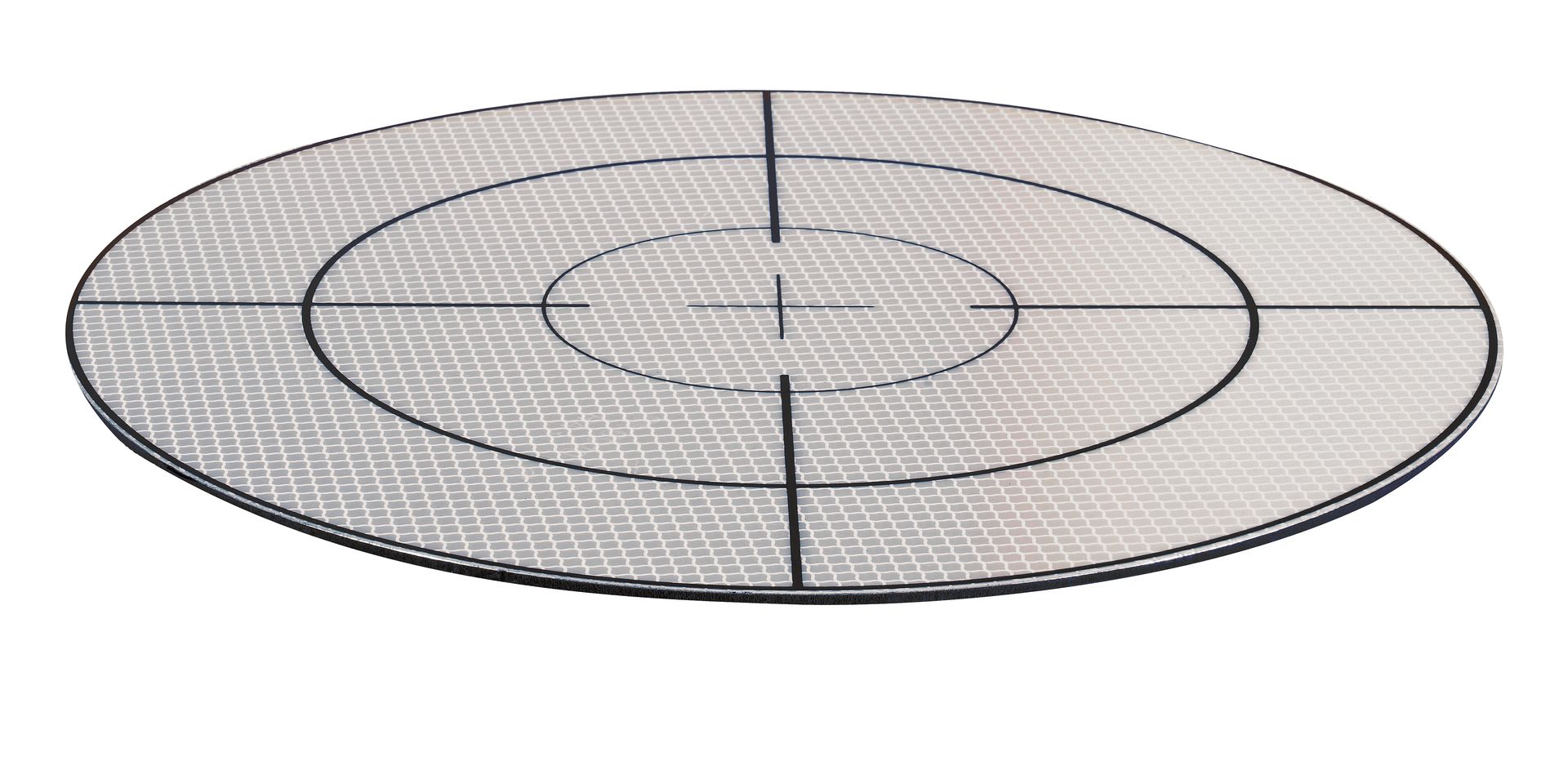
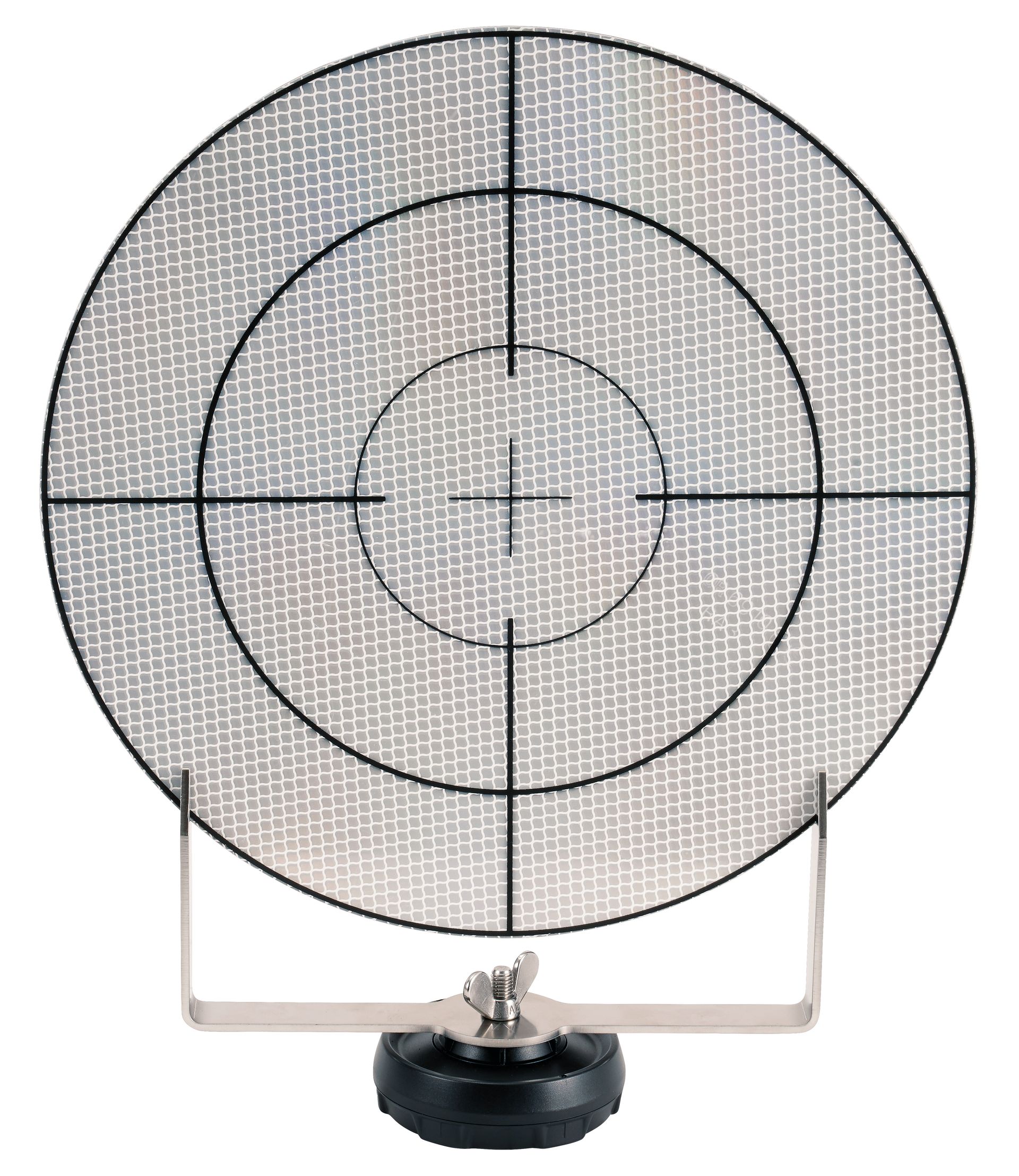
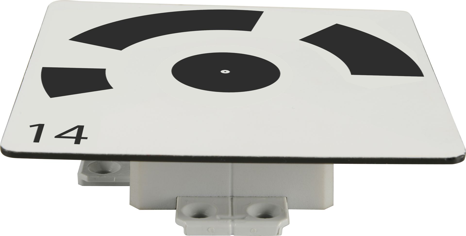
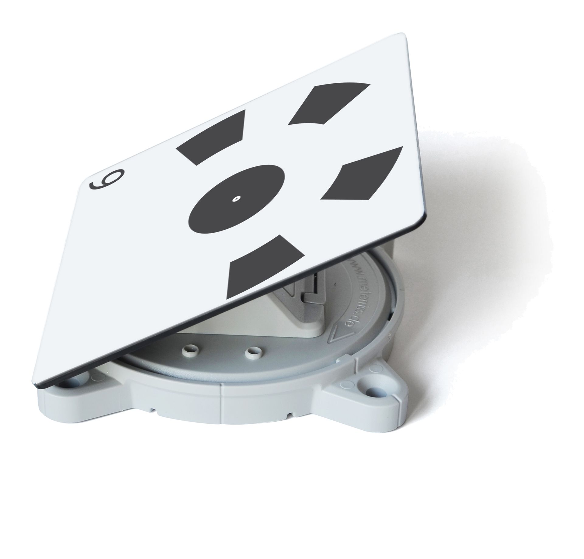
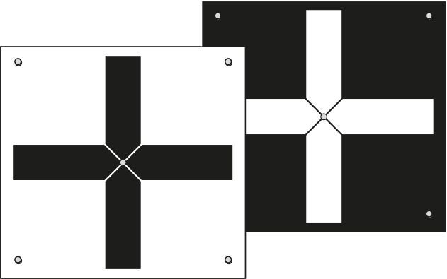
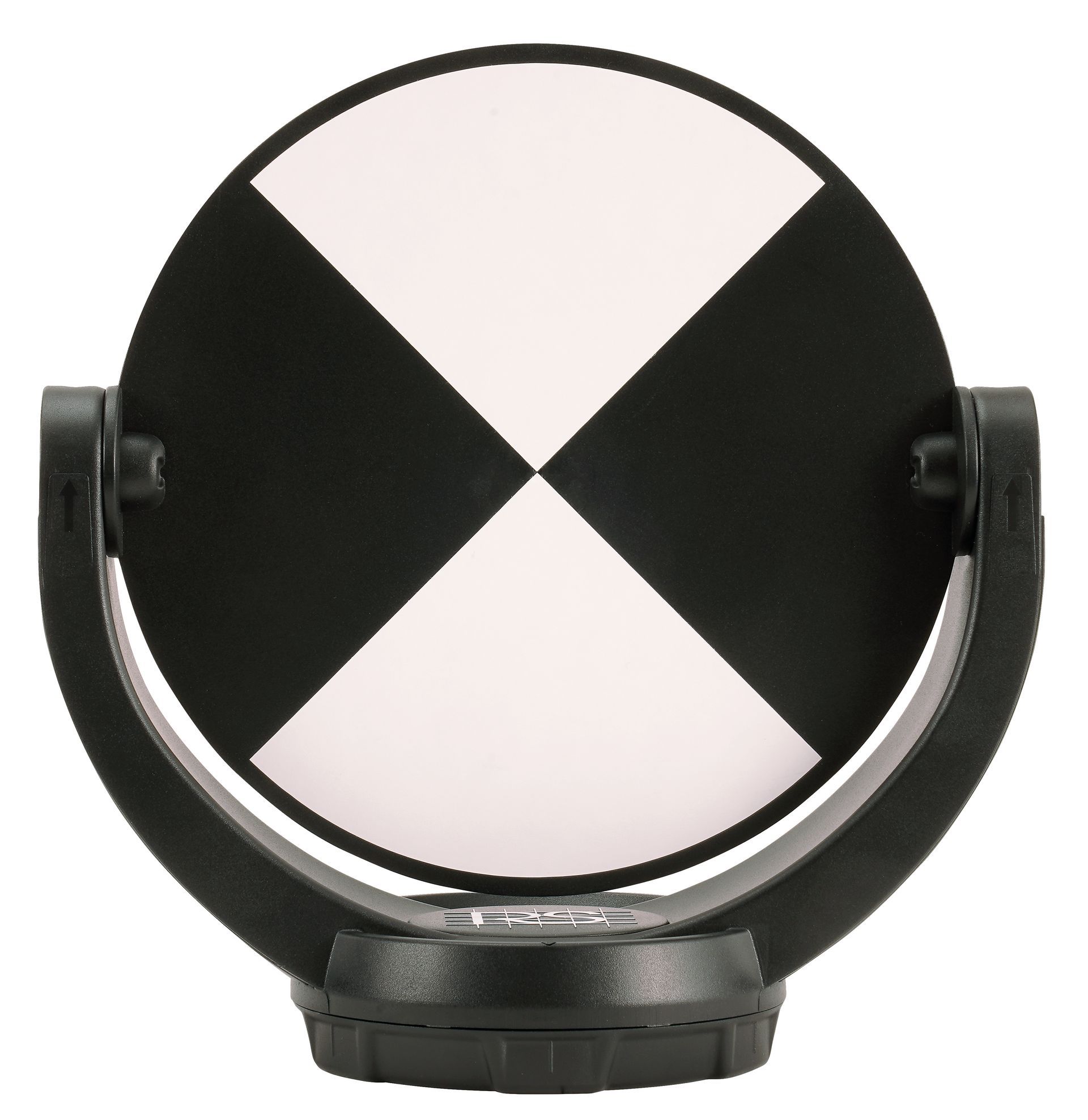
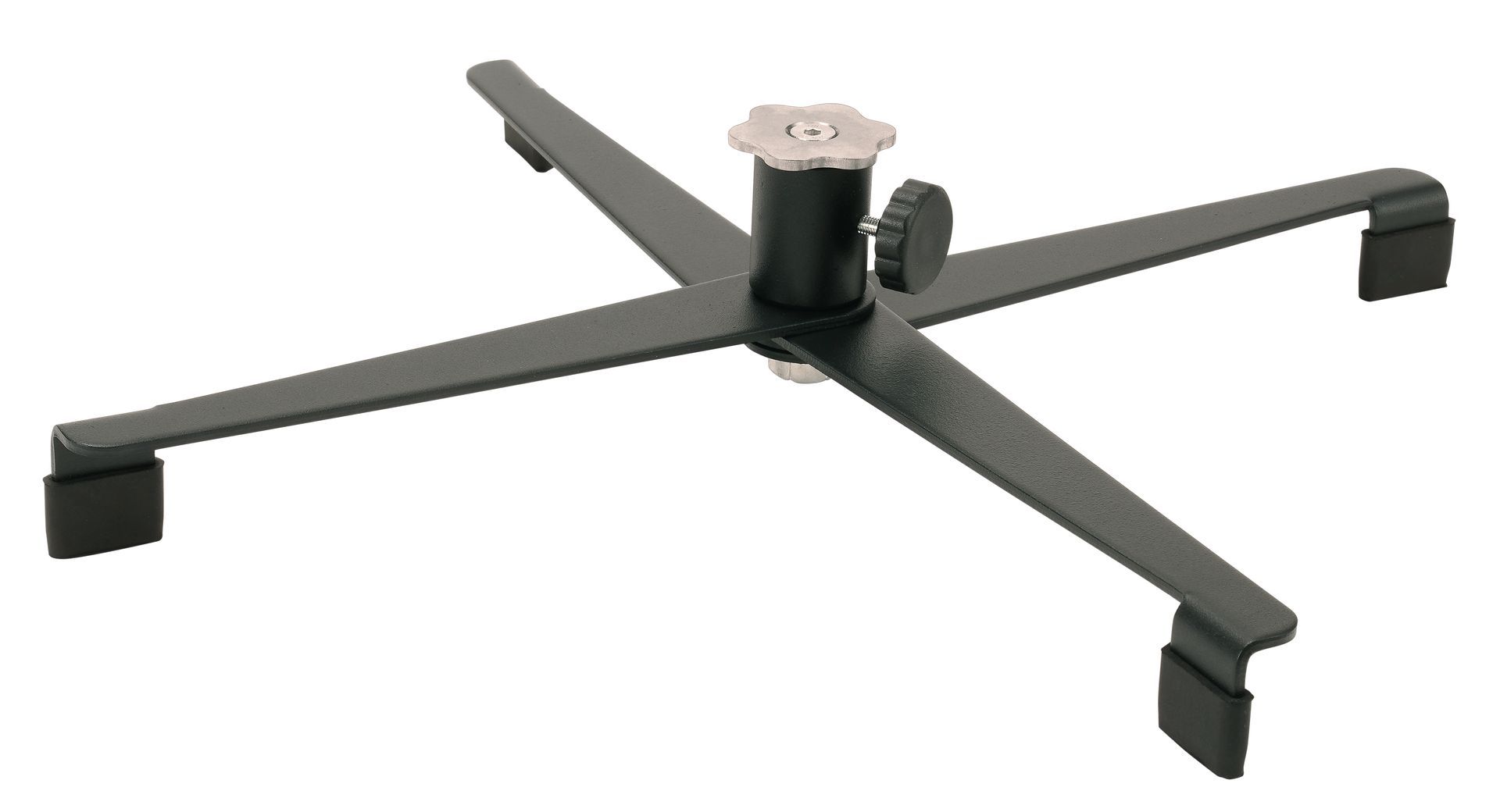
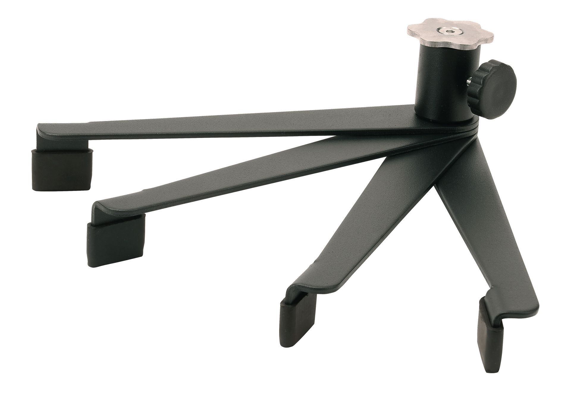
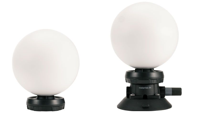
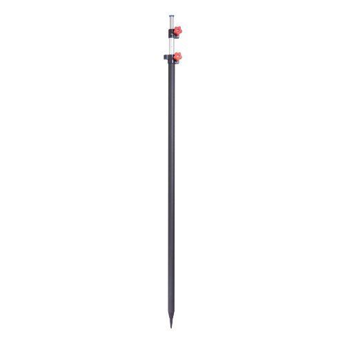
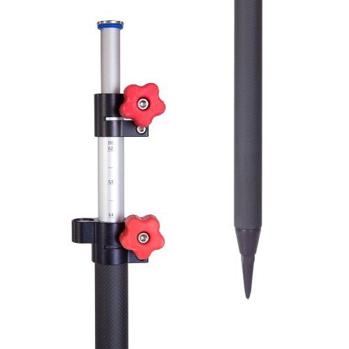
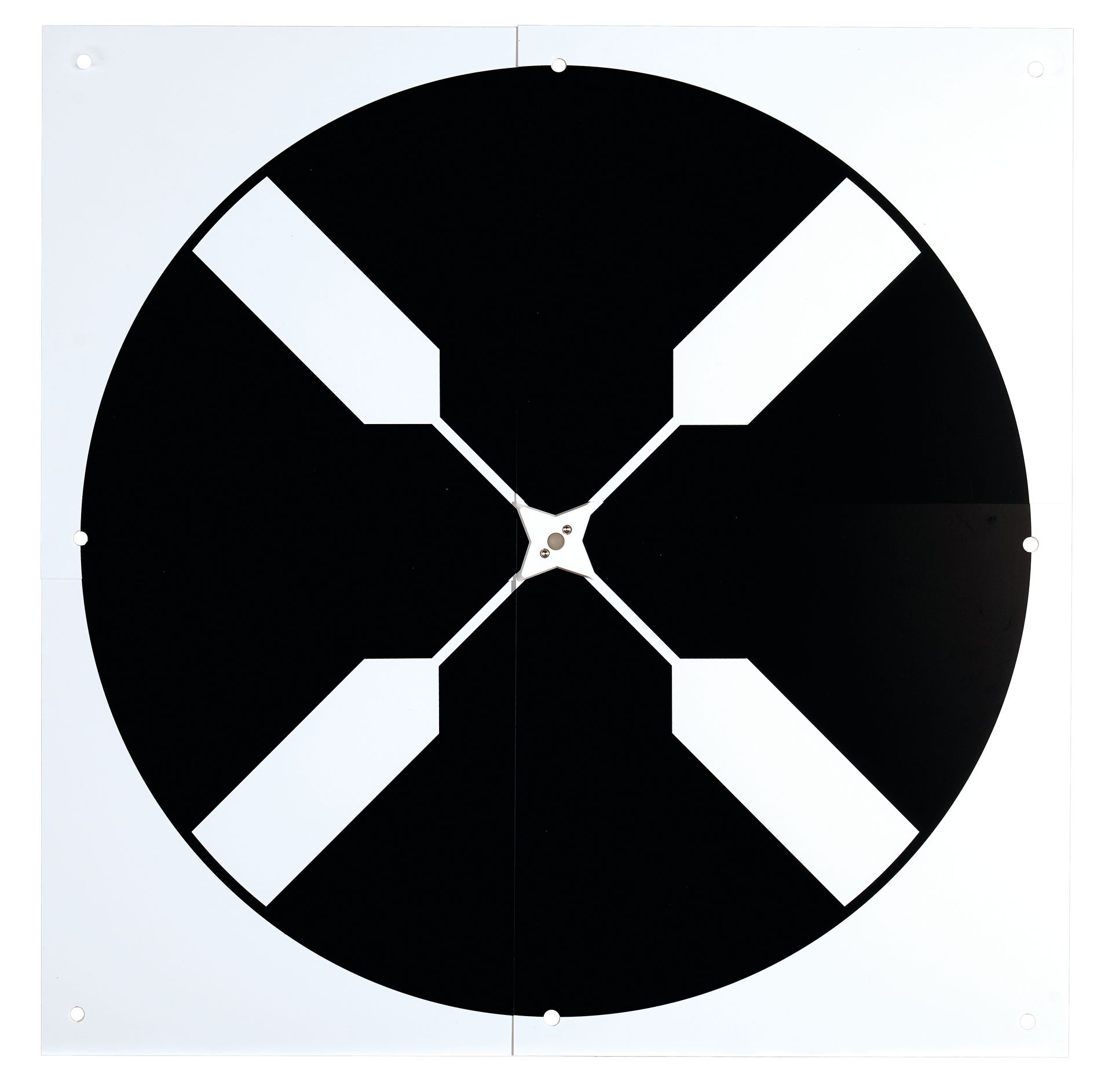
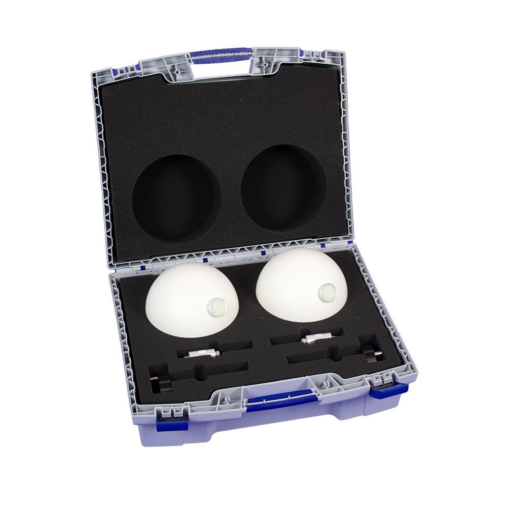
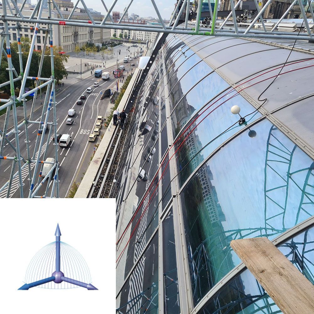
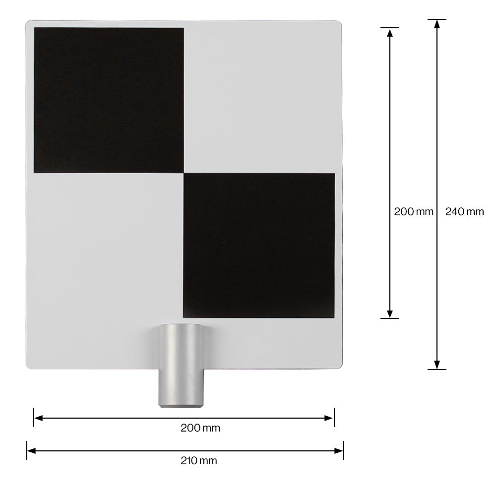
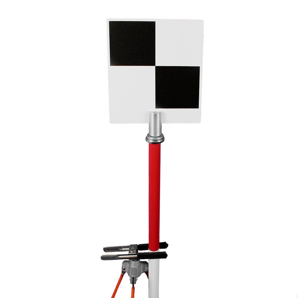
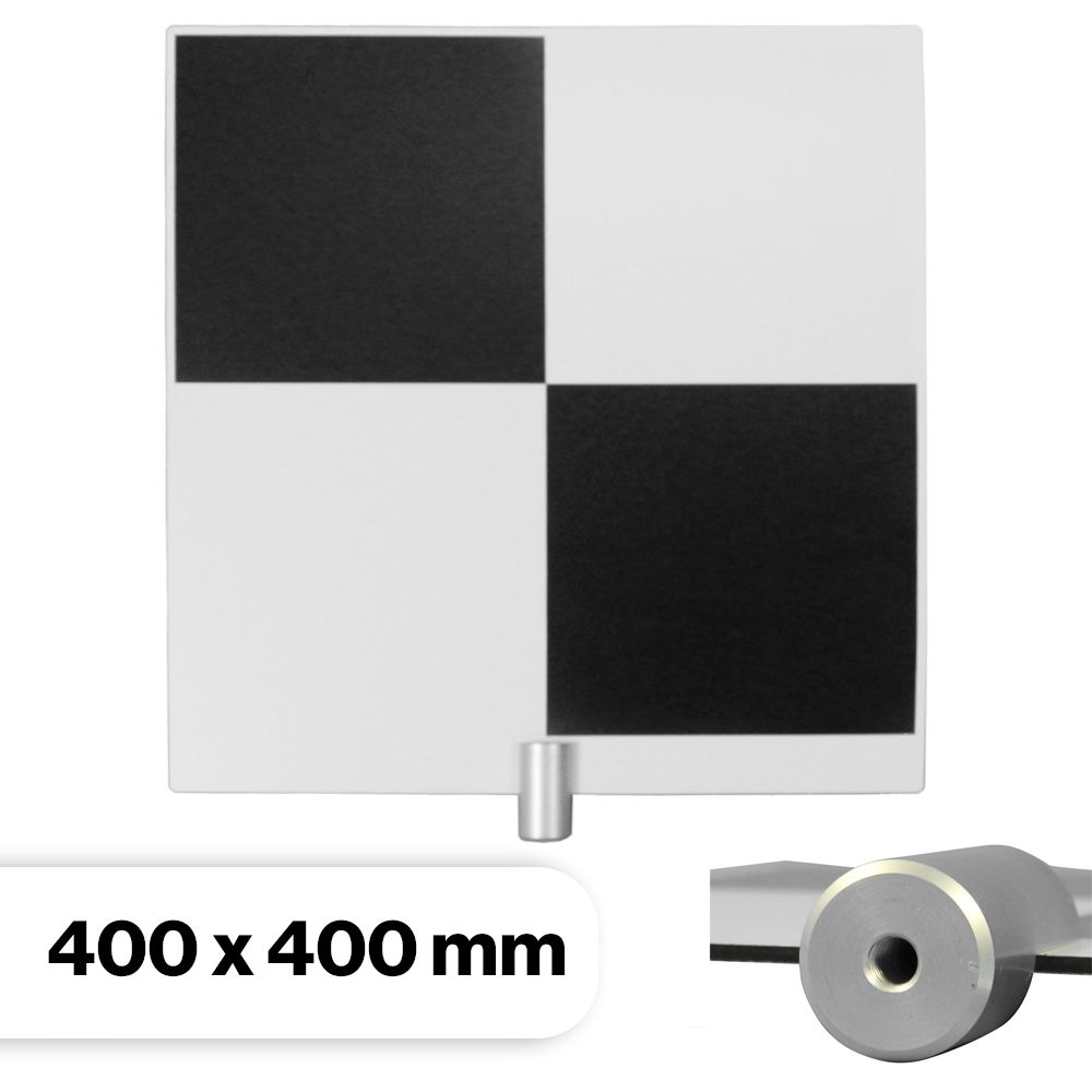
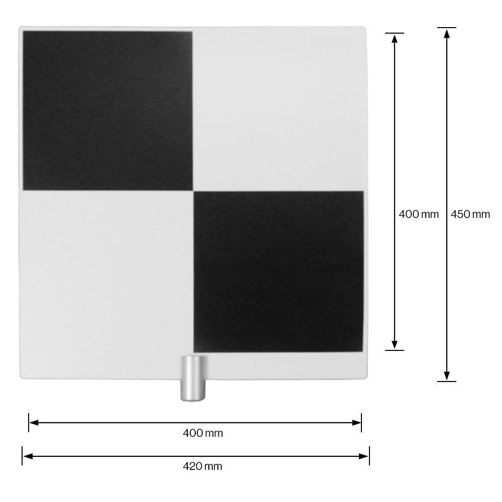
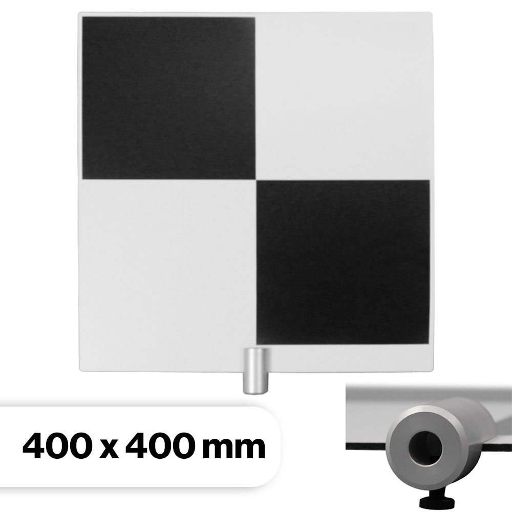
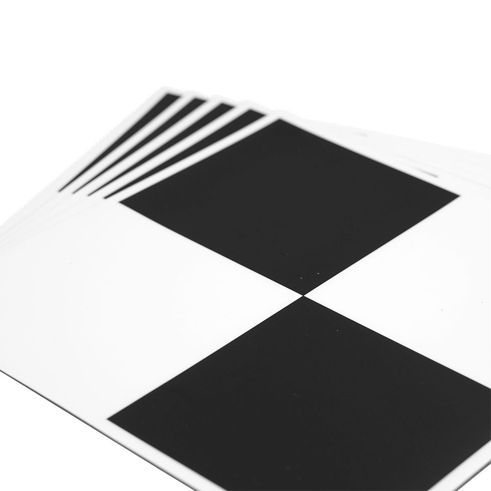
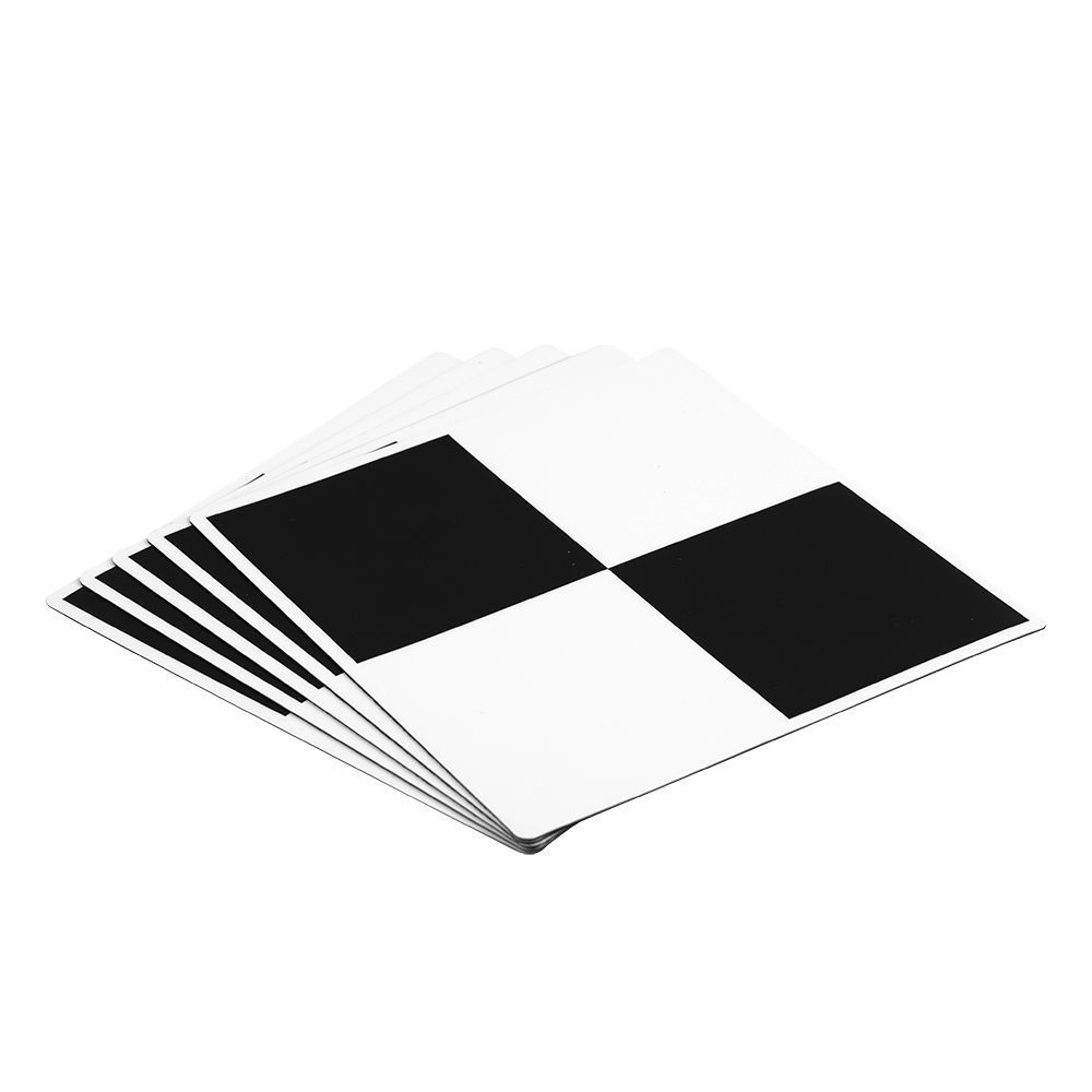
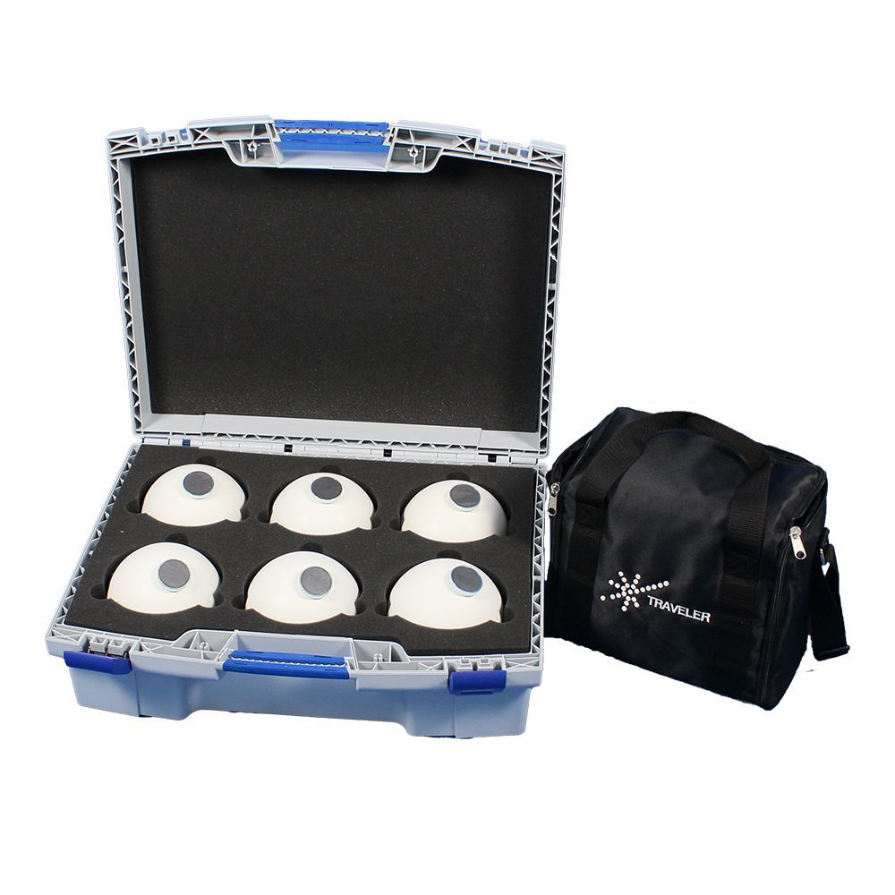
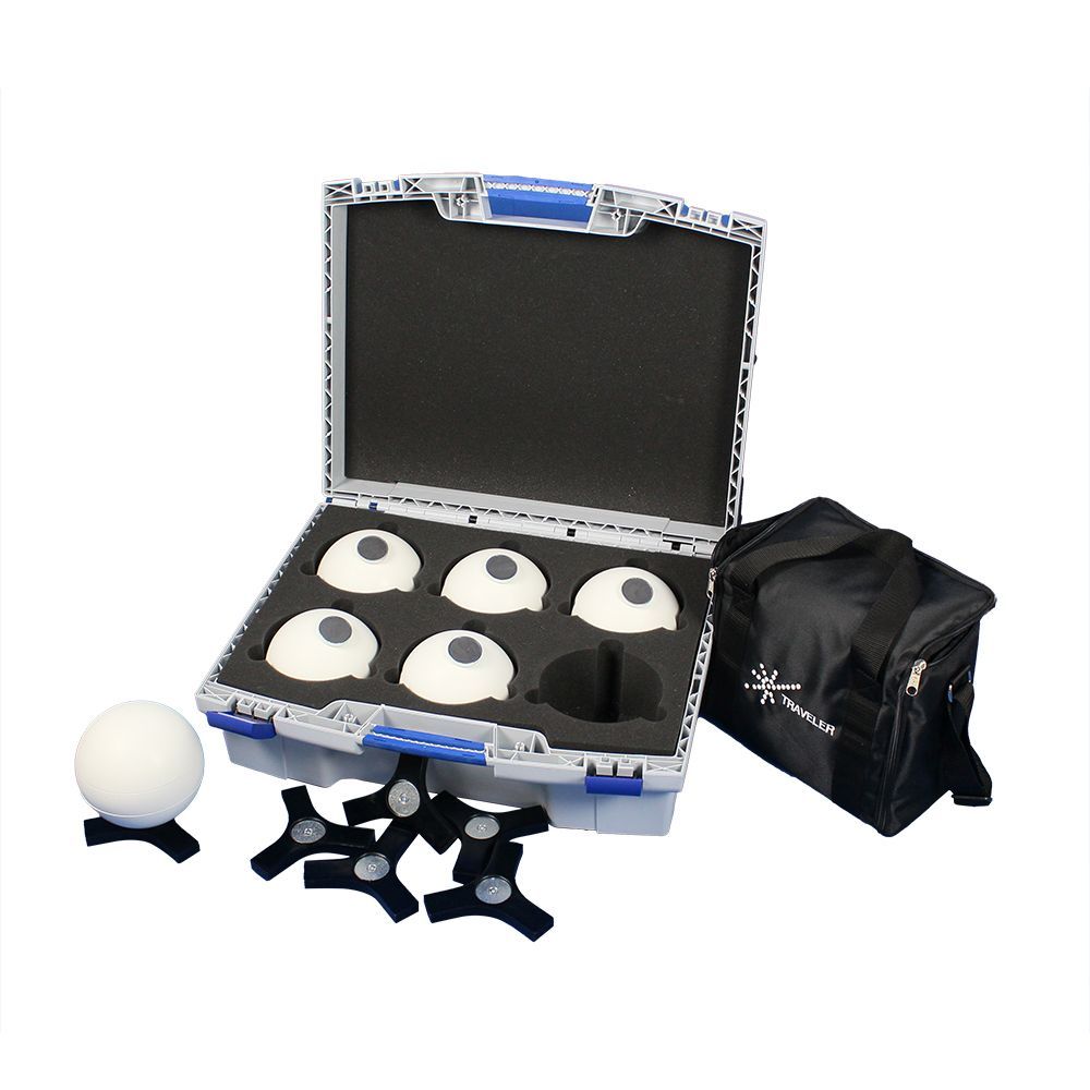
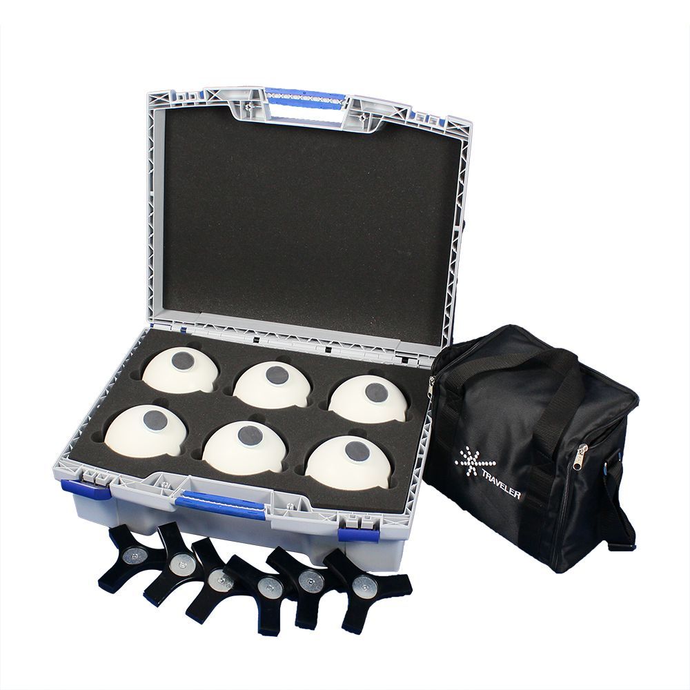
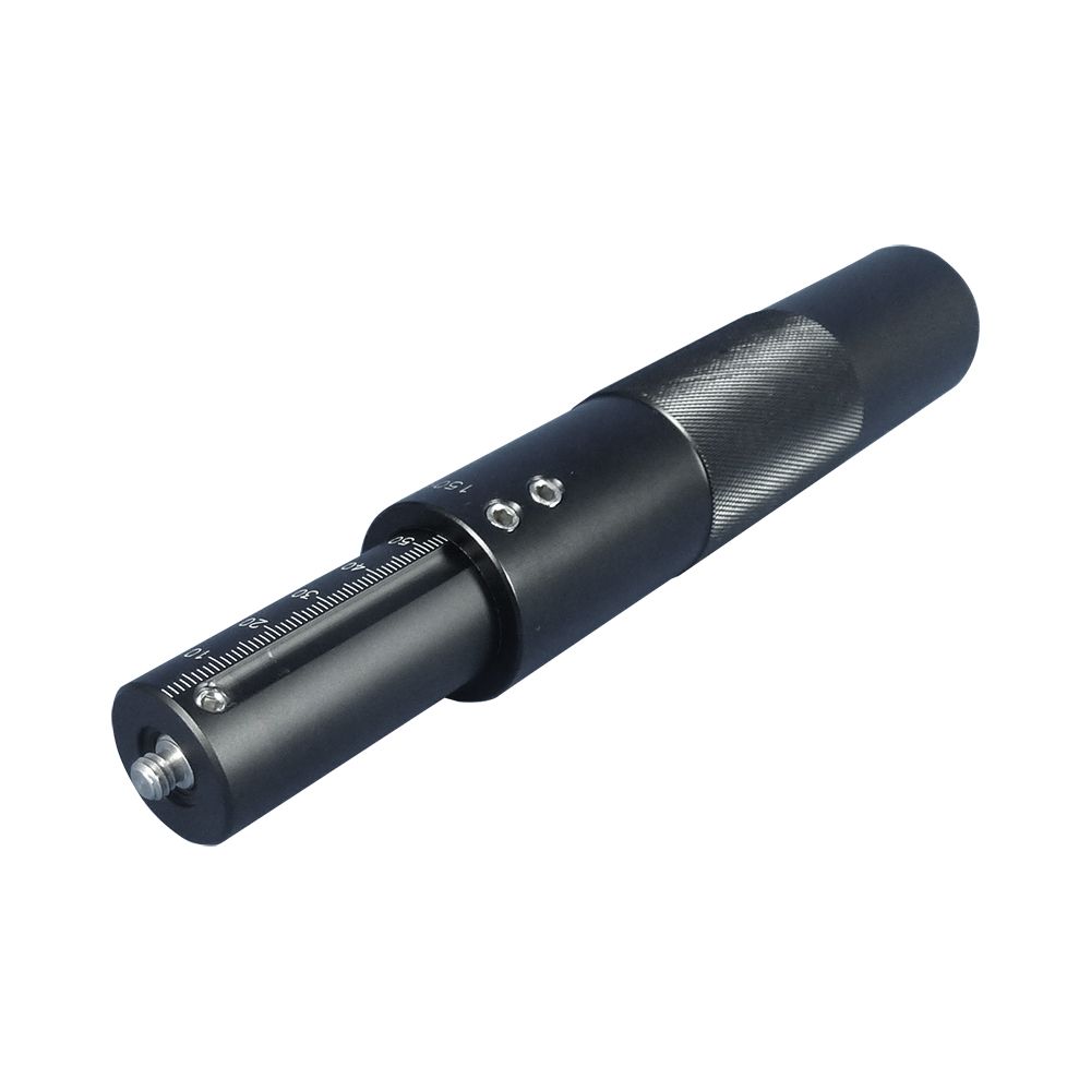
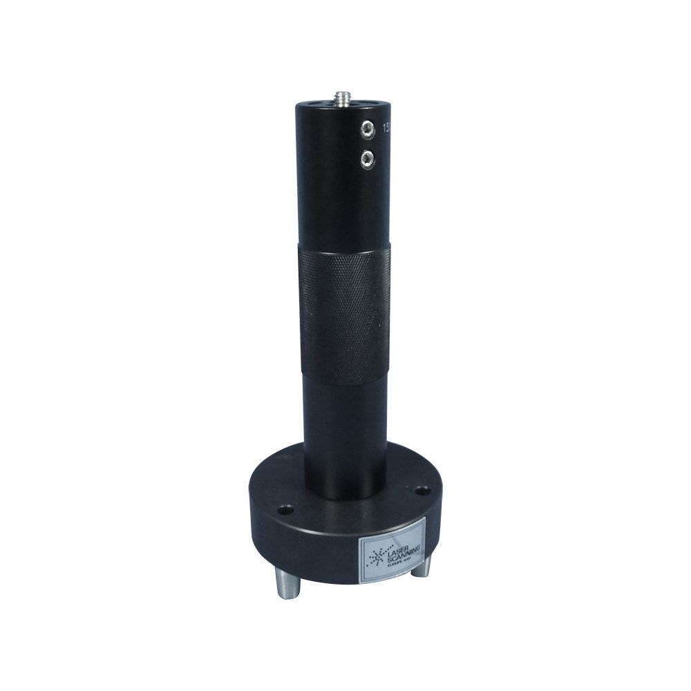
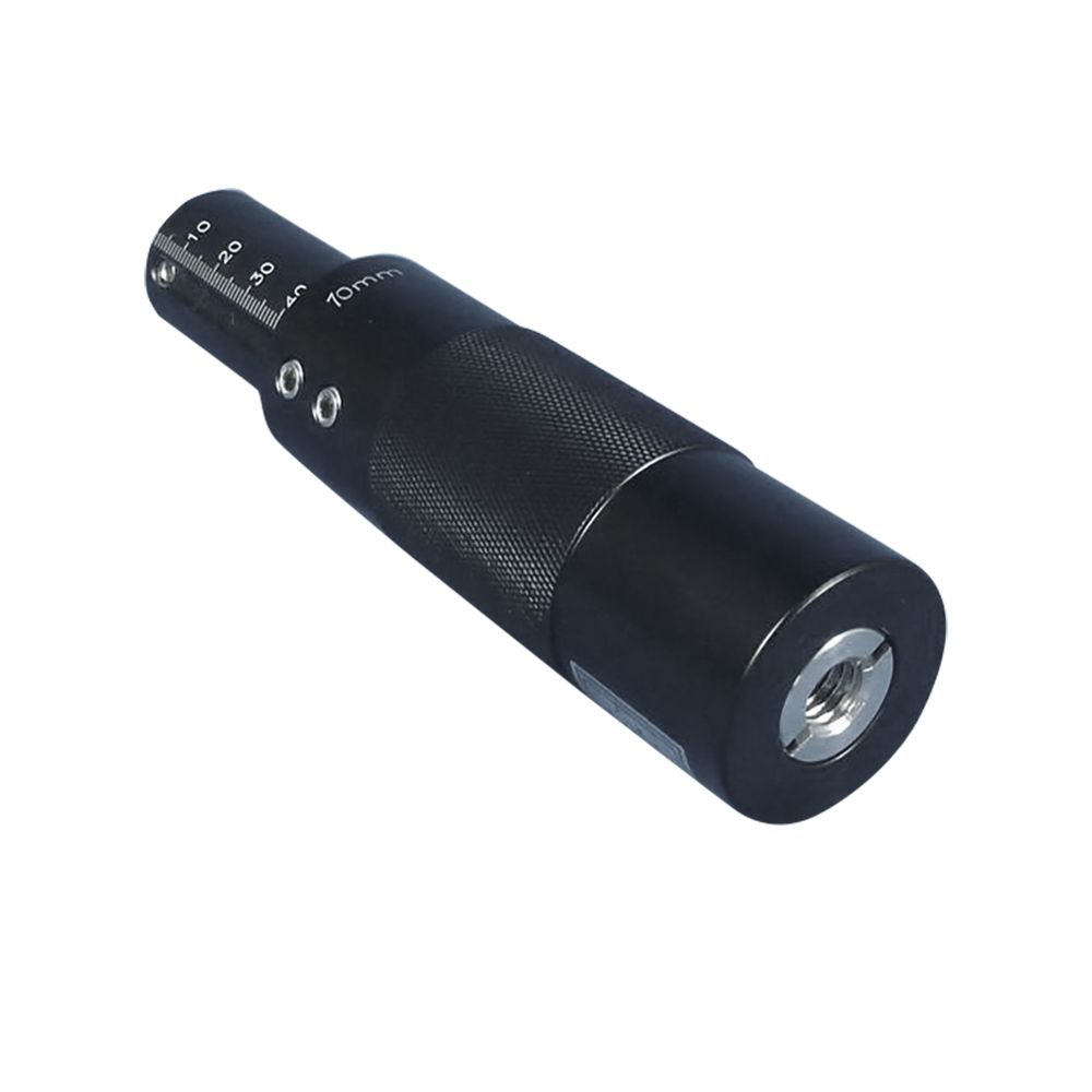
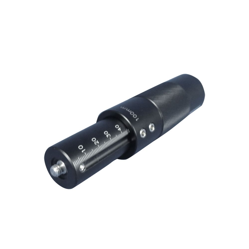
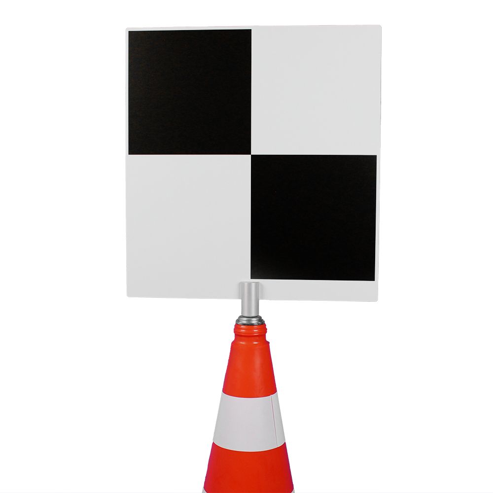
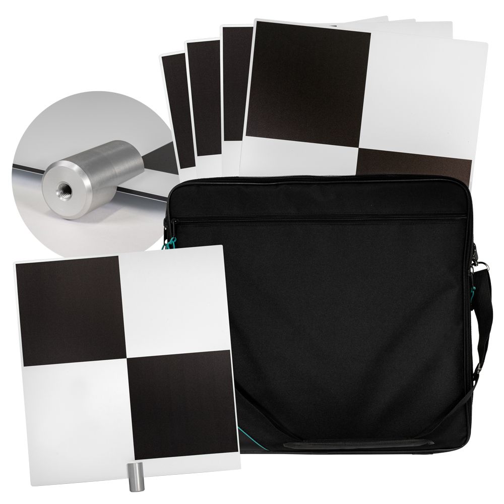
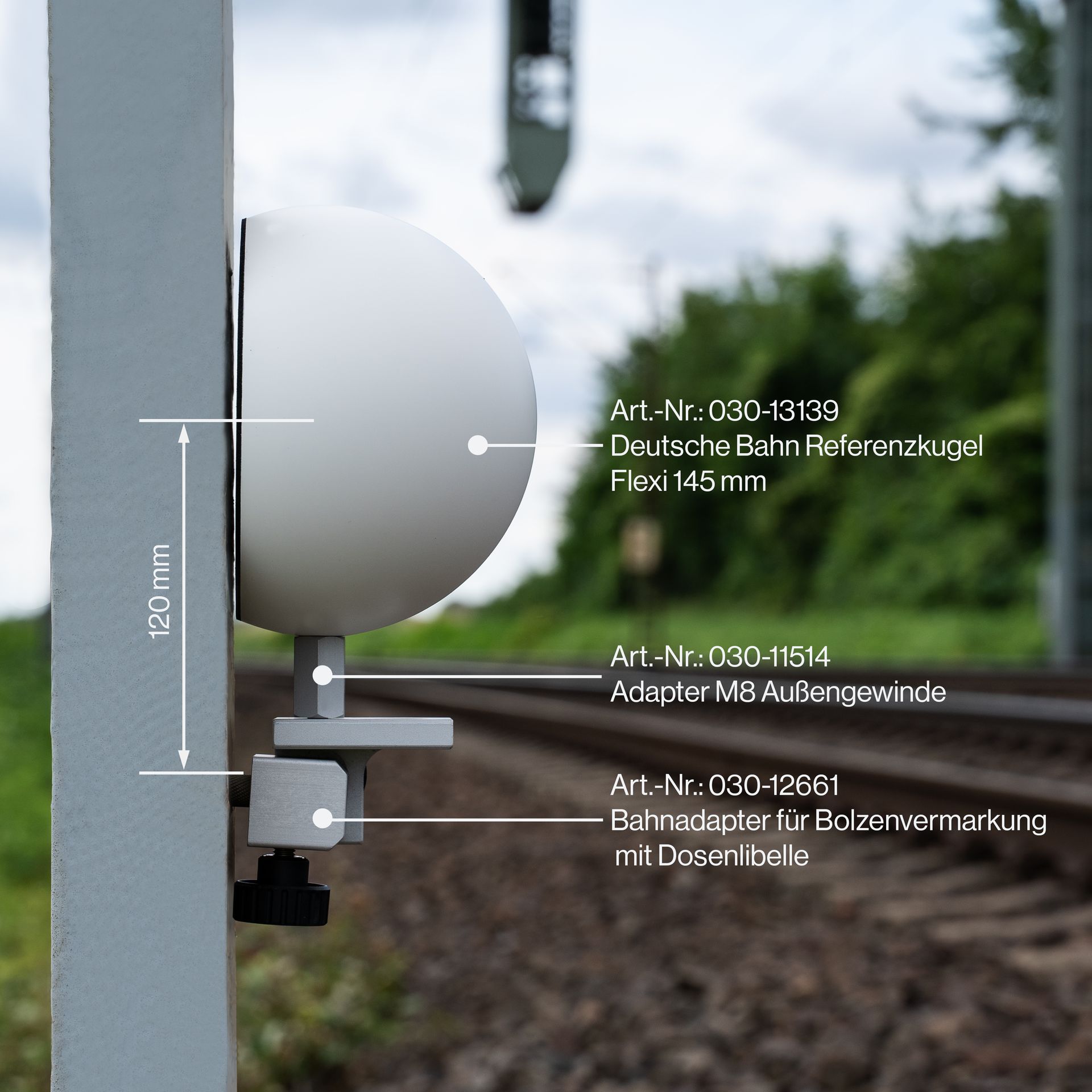
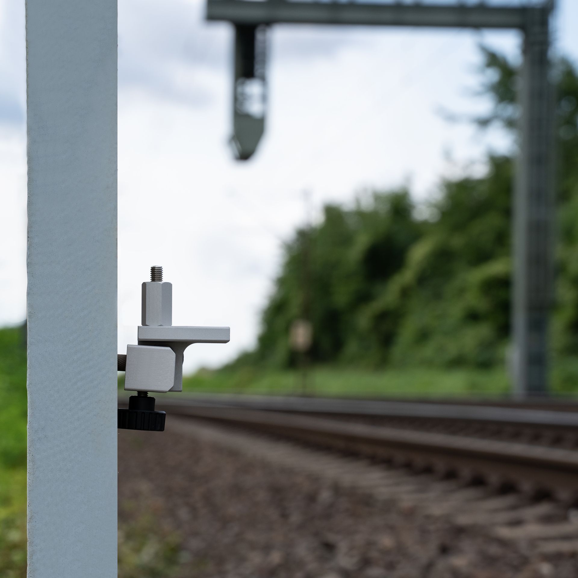
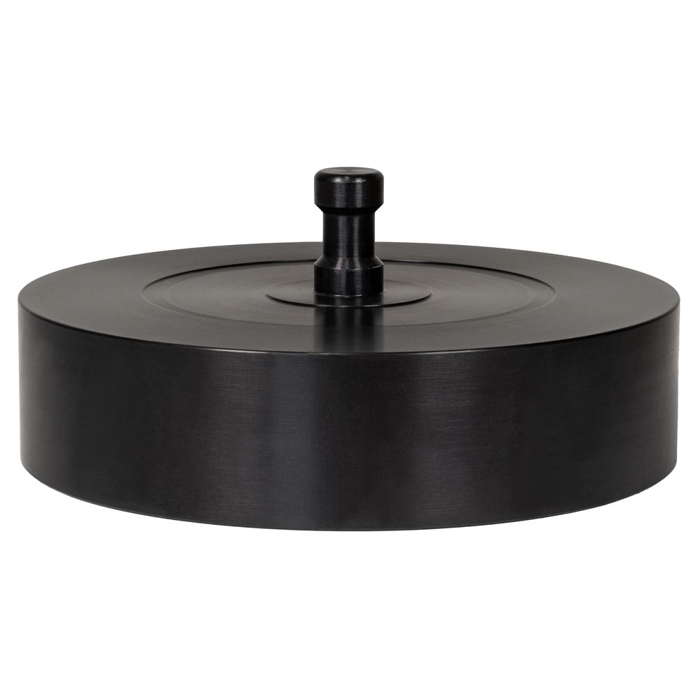
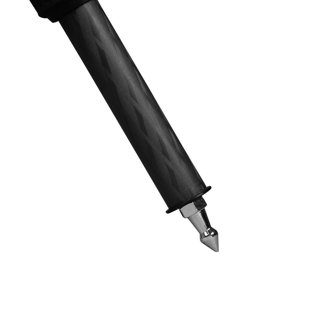
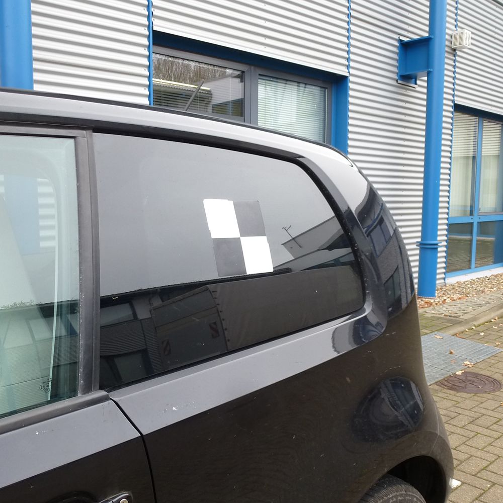
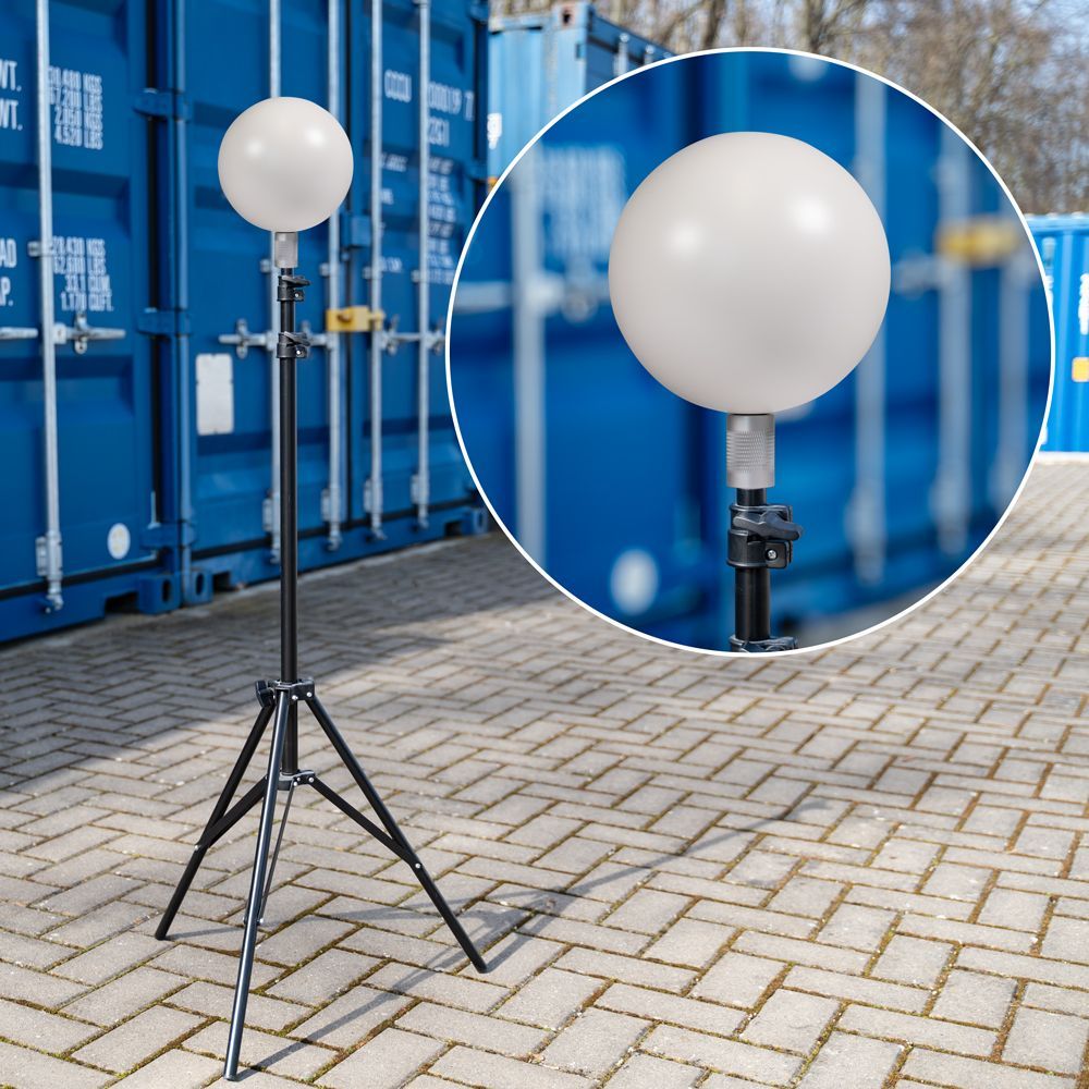
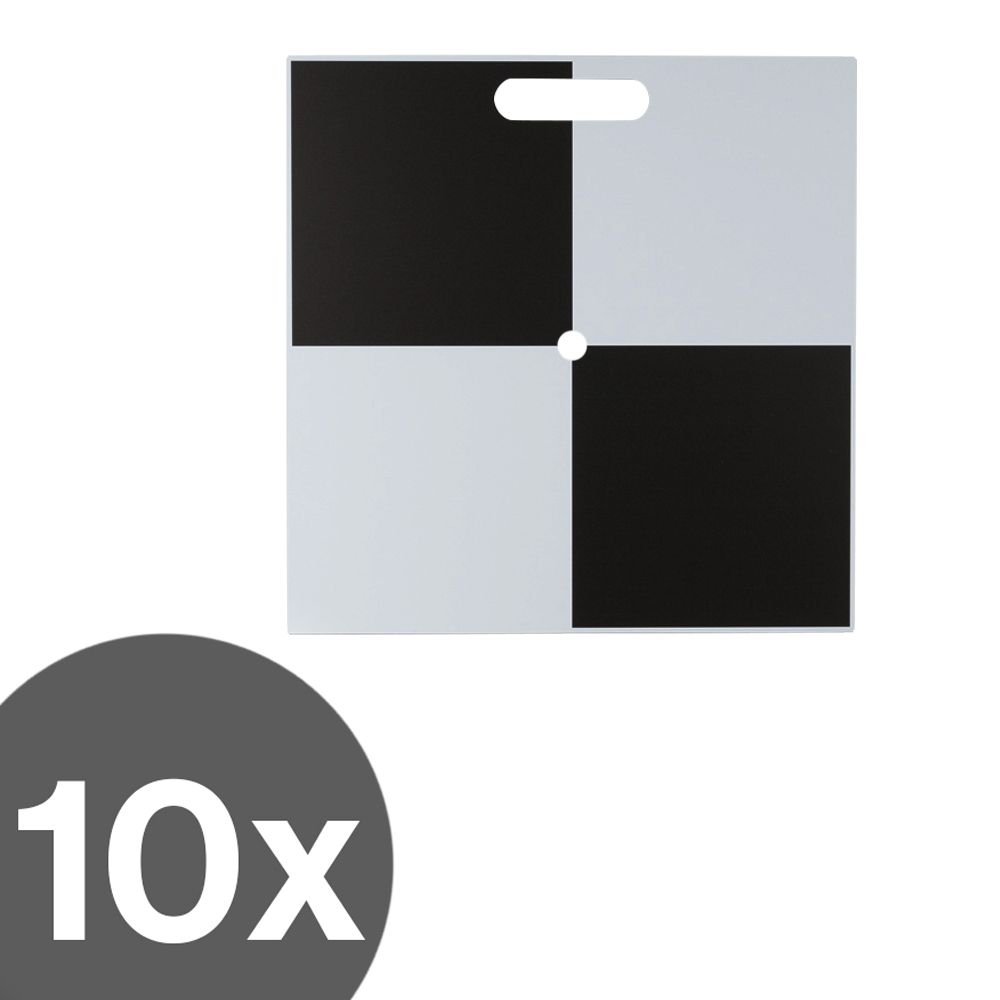
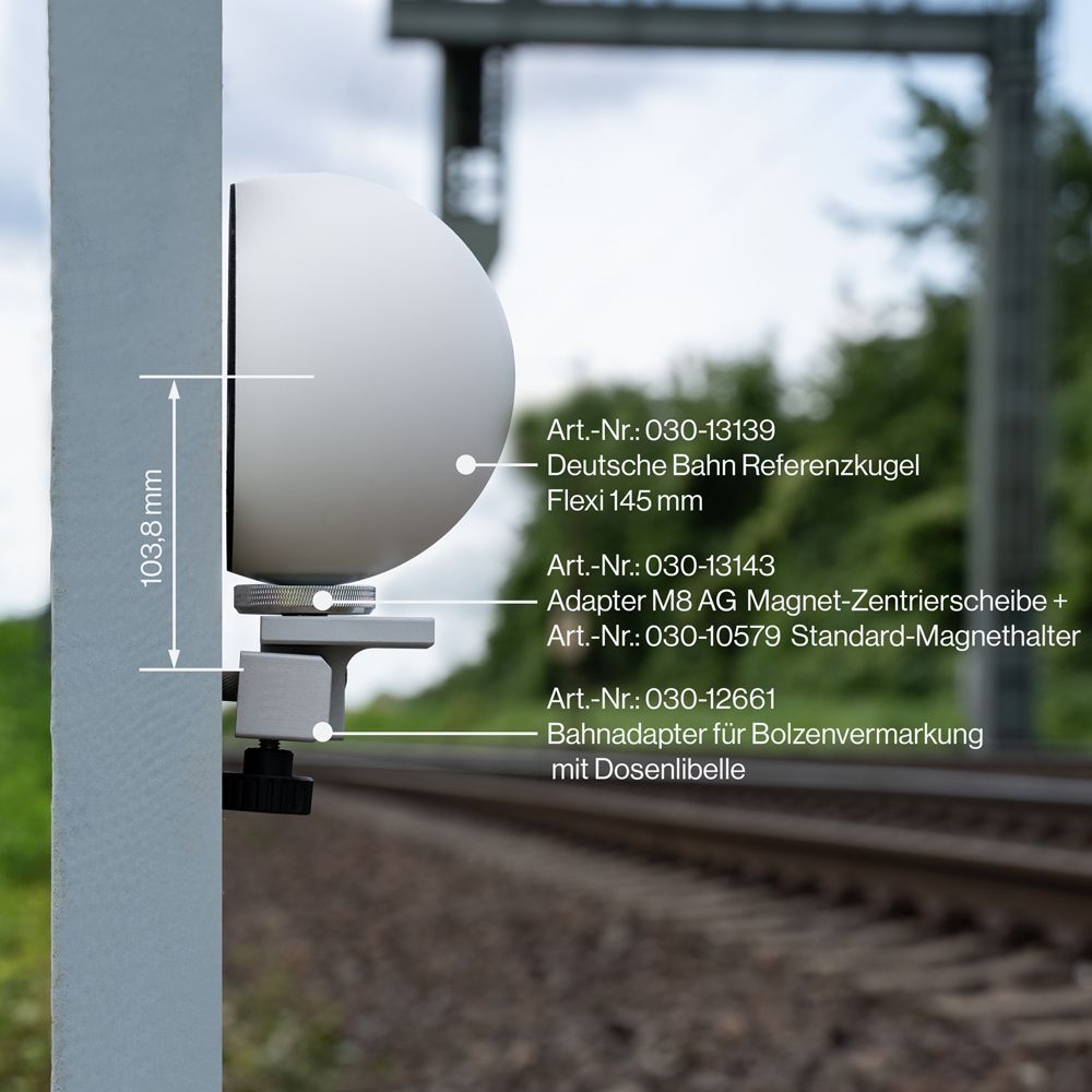
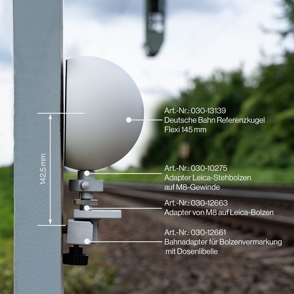
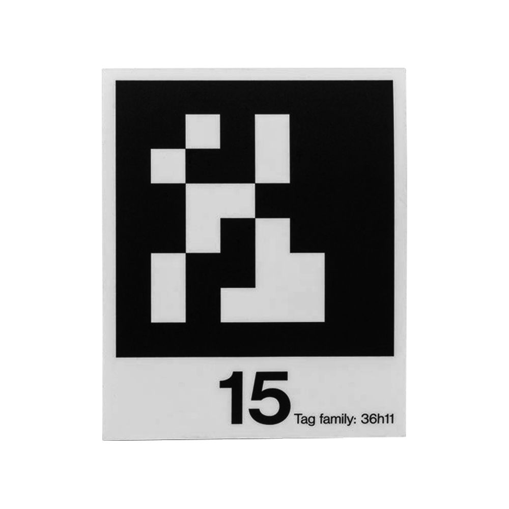
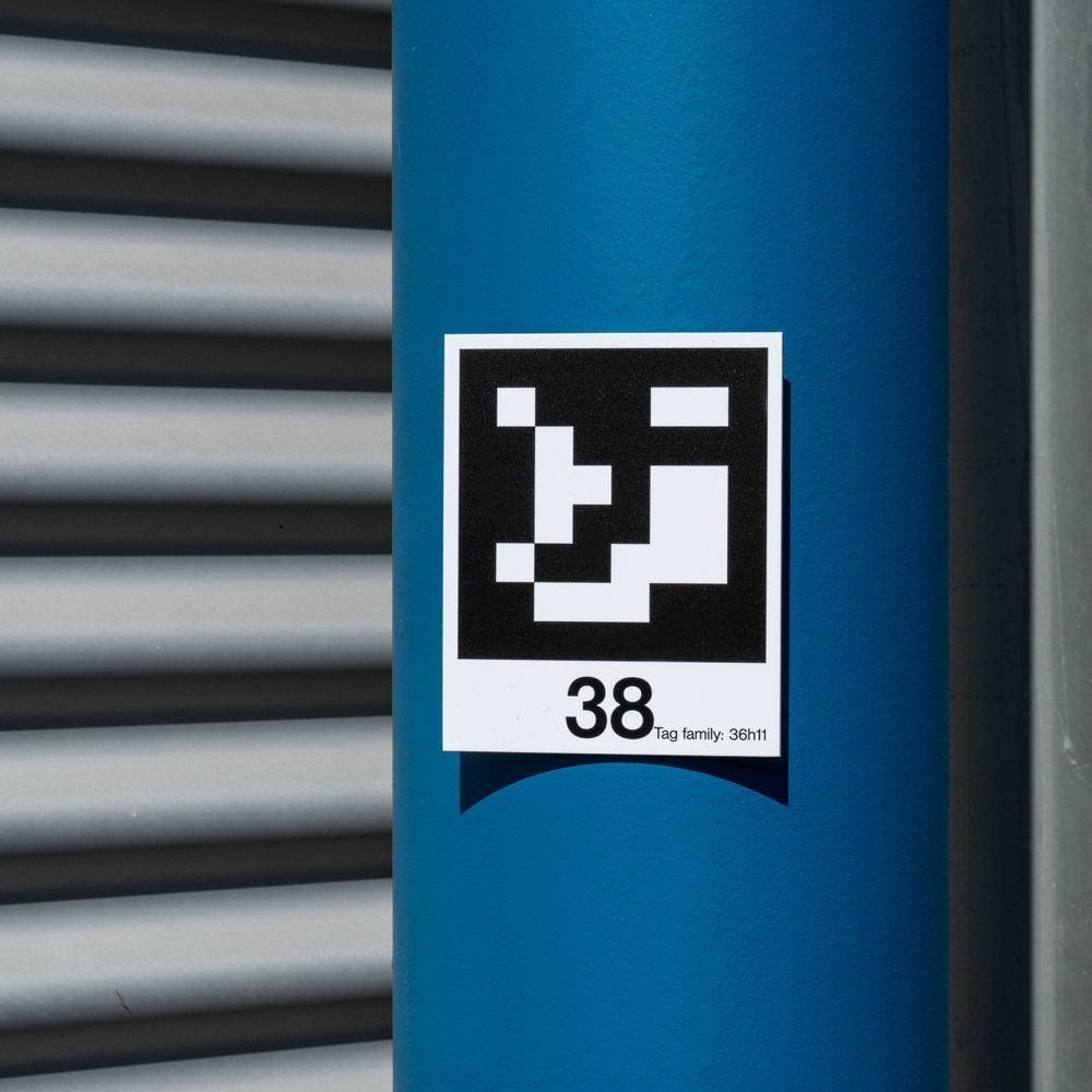
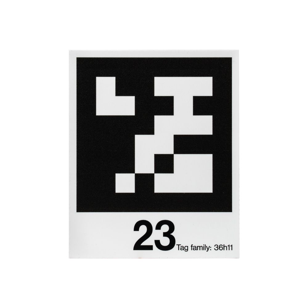
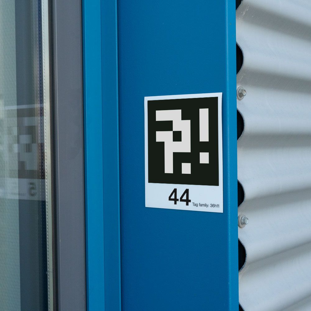
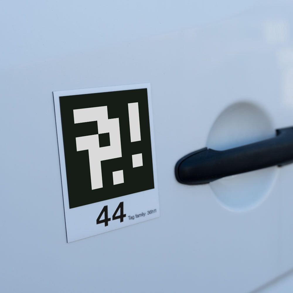
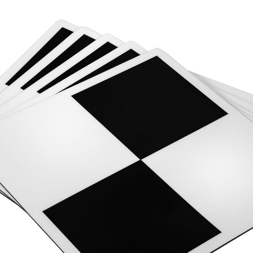
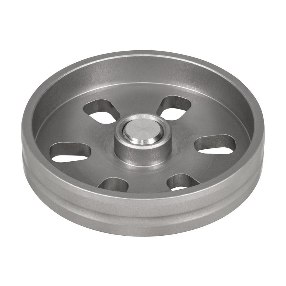
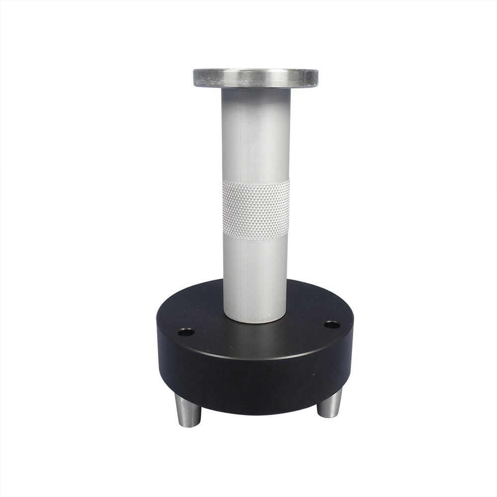
Are you in need of substantial ground control points for photogrammetric surveys or LiDAR 3D surveying? Look no further than this robust set of control point plates, the perfect solution for your needs. To ensure more accurate measurement results by determining the geocoordinates of the ground control points, utilizing GPS or total stations is also advisable.
**Product Characteristics**
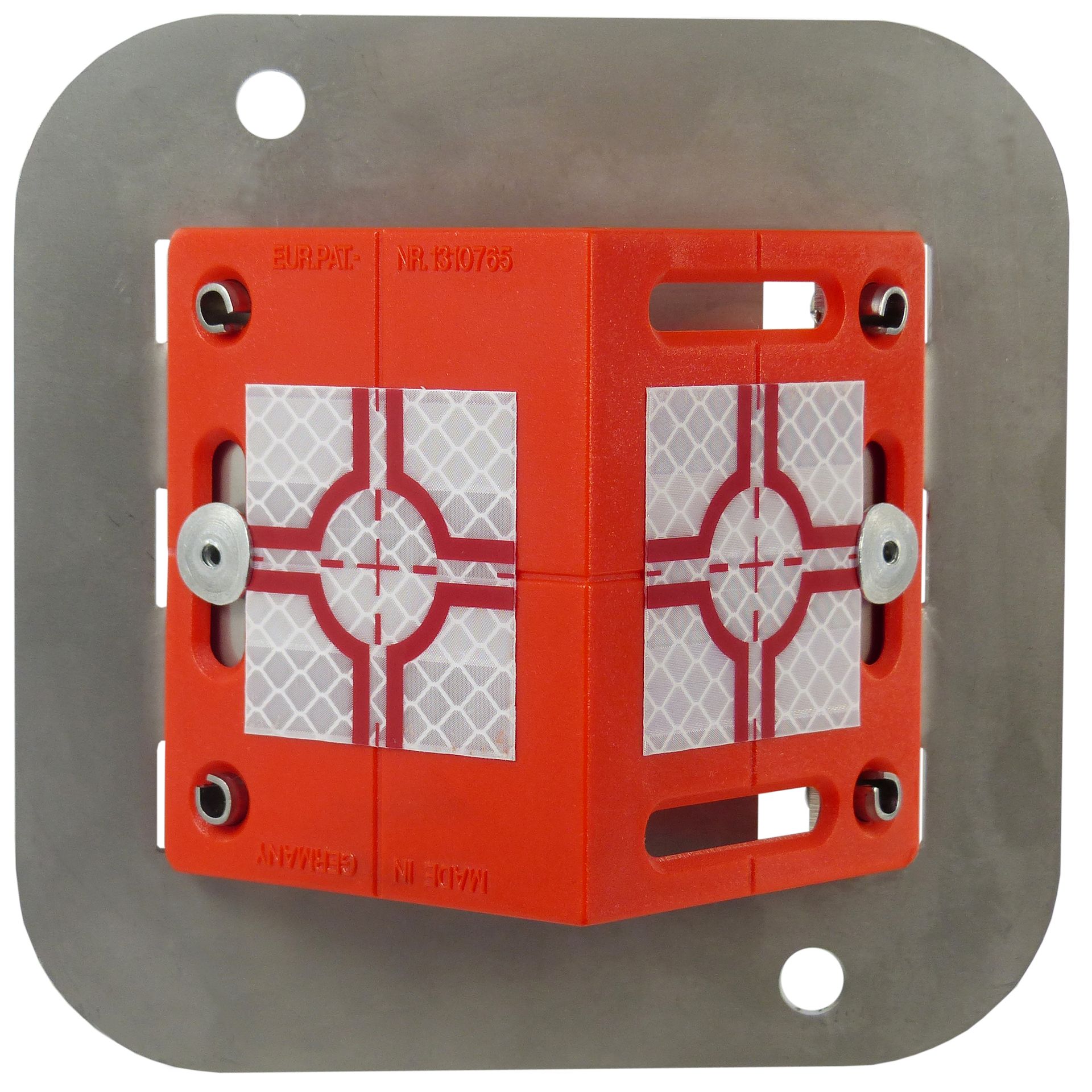
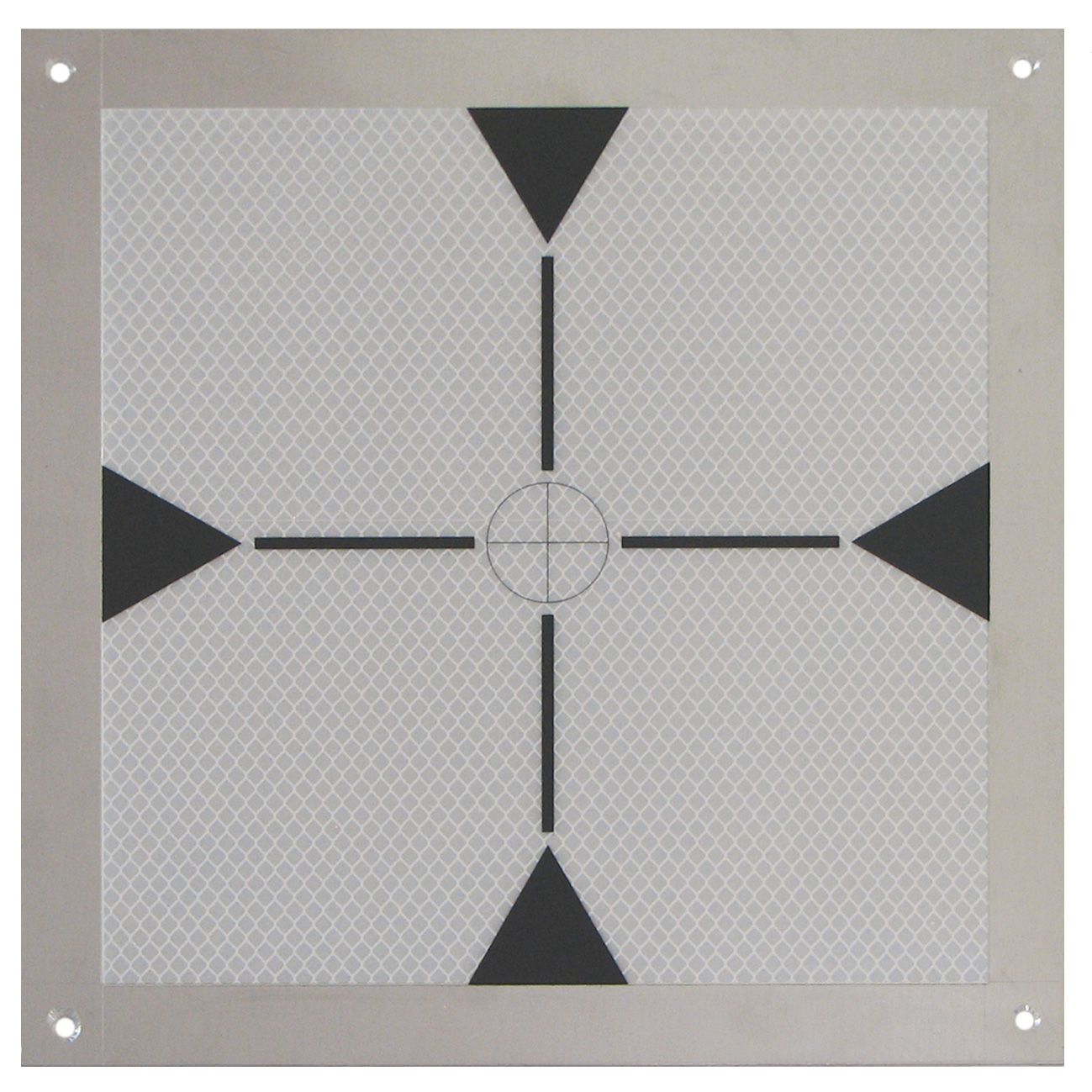
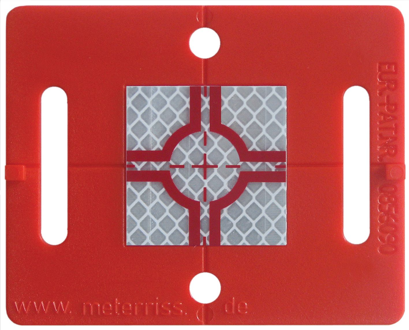
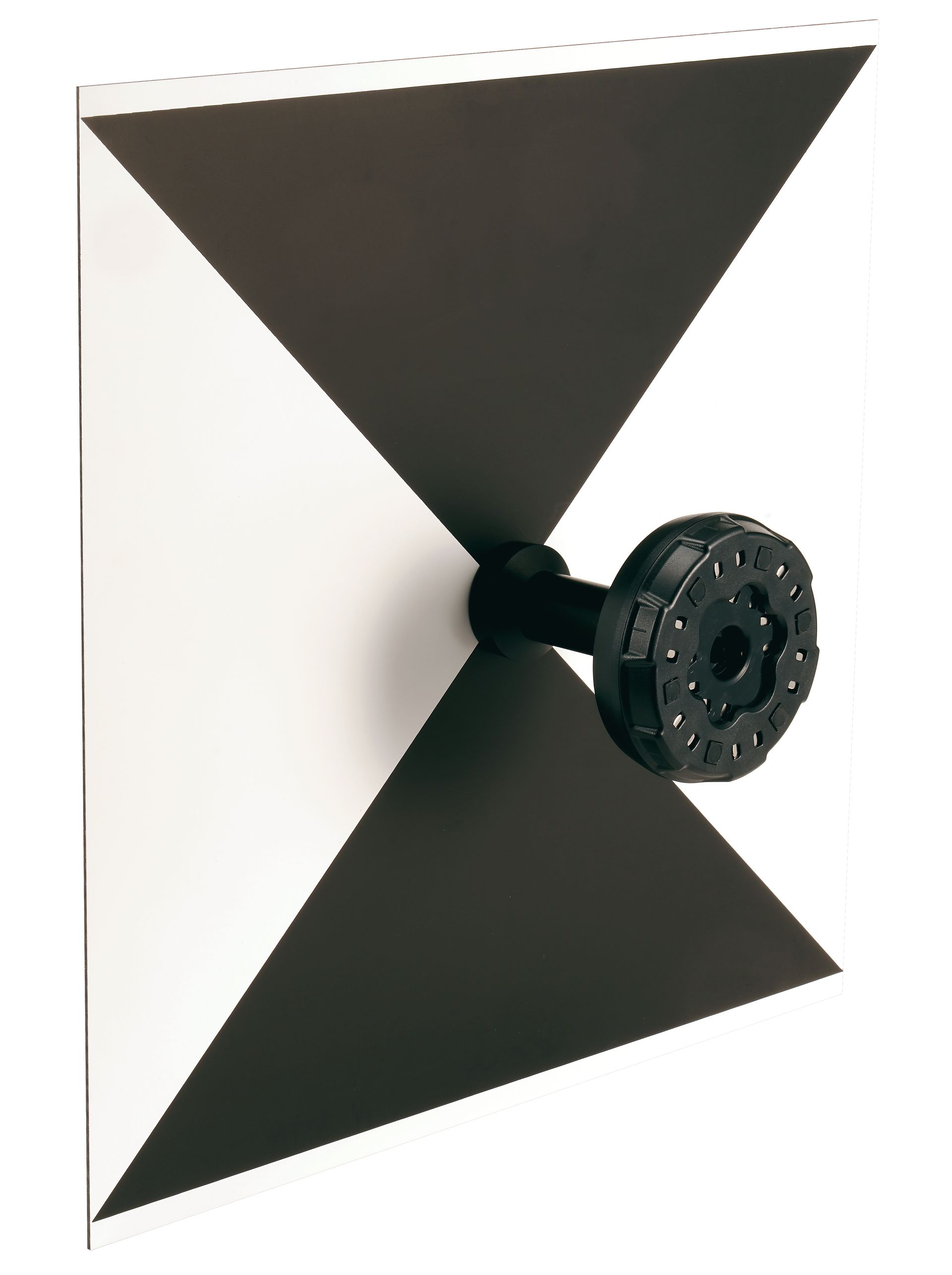
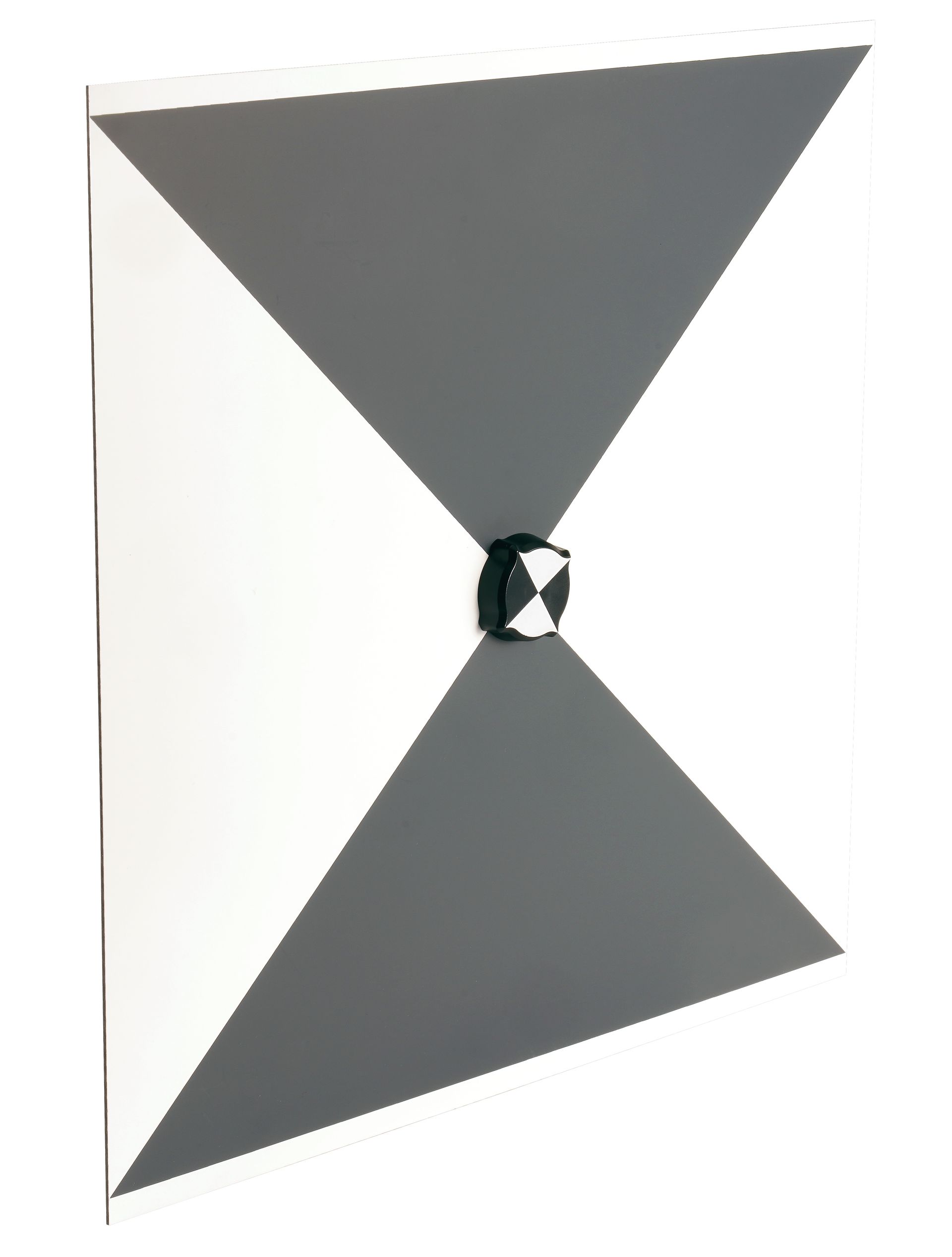
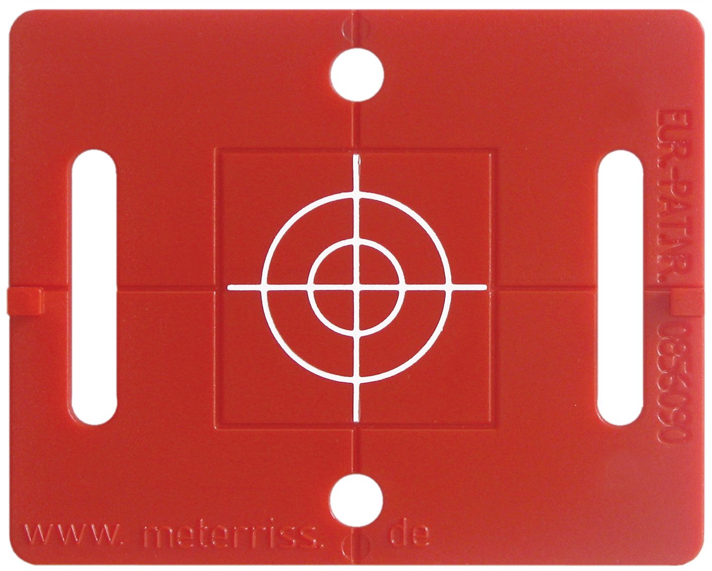
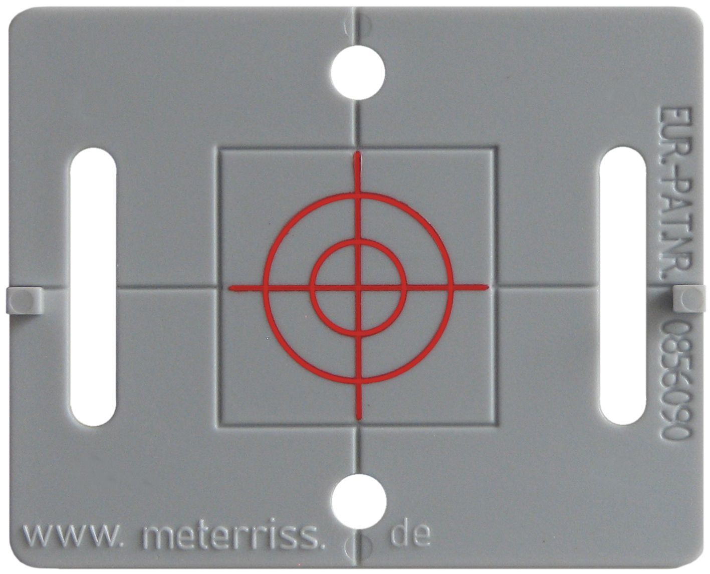
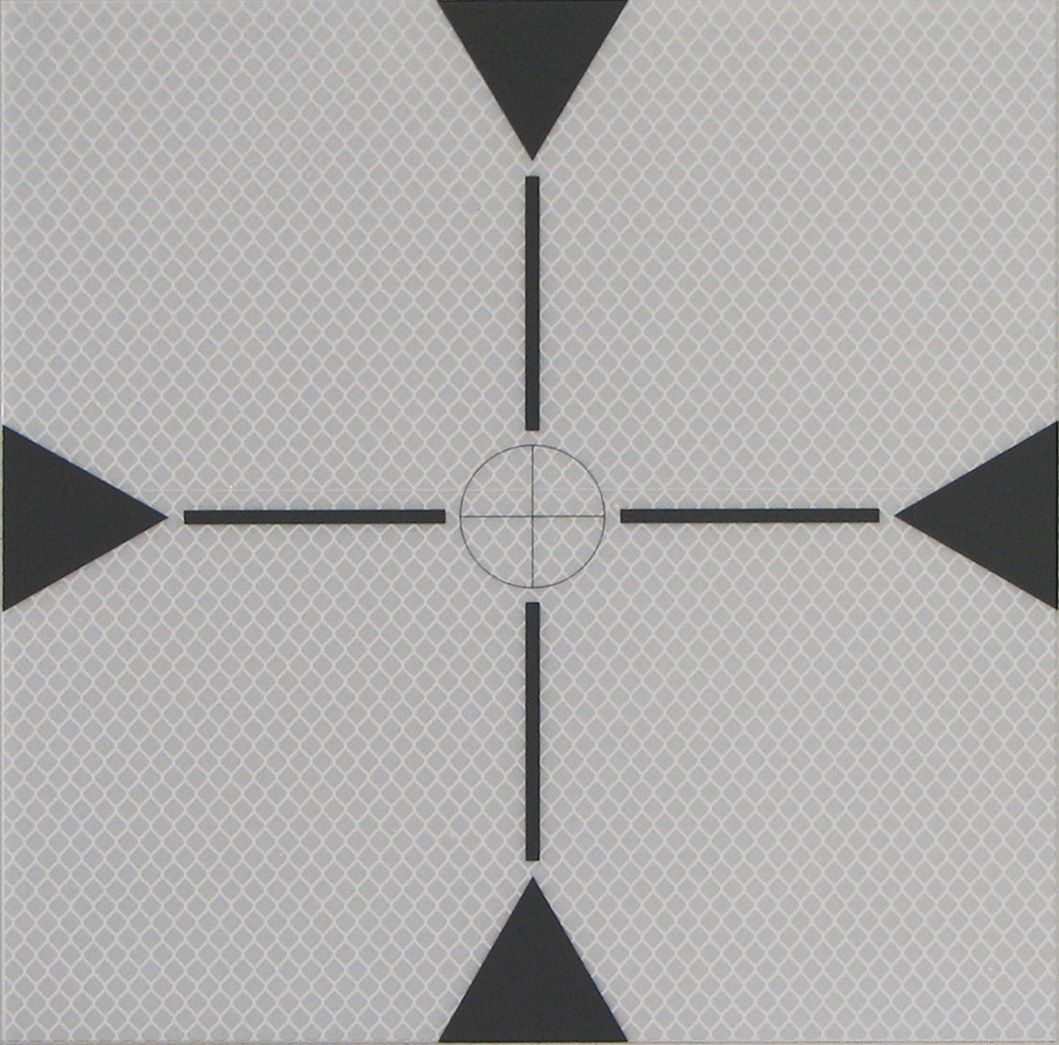
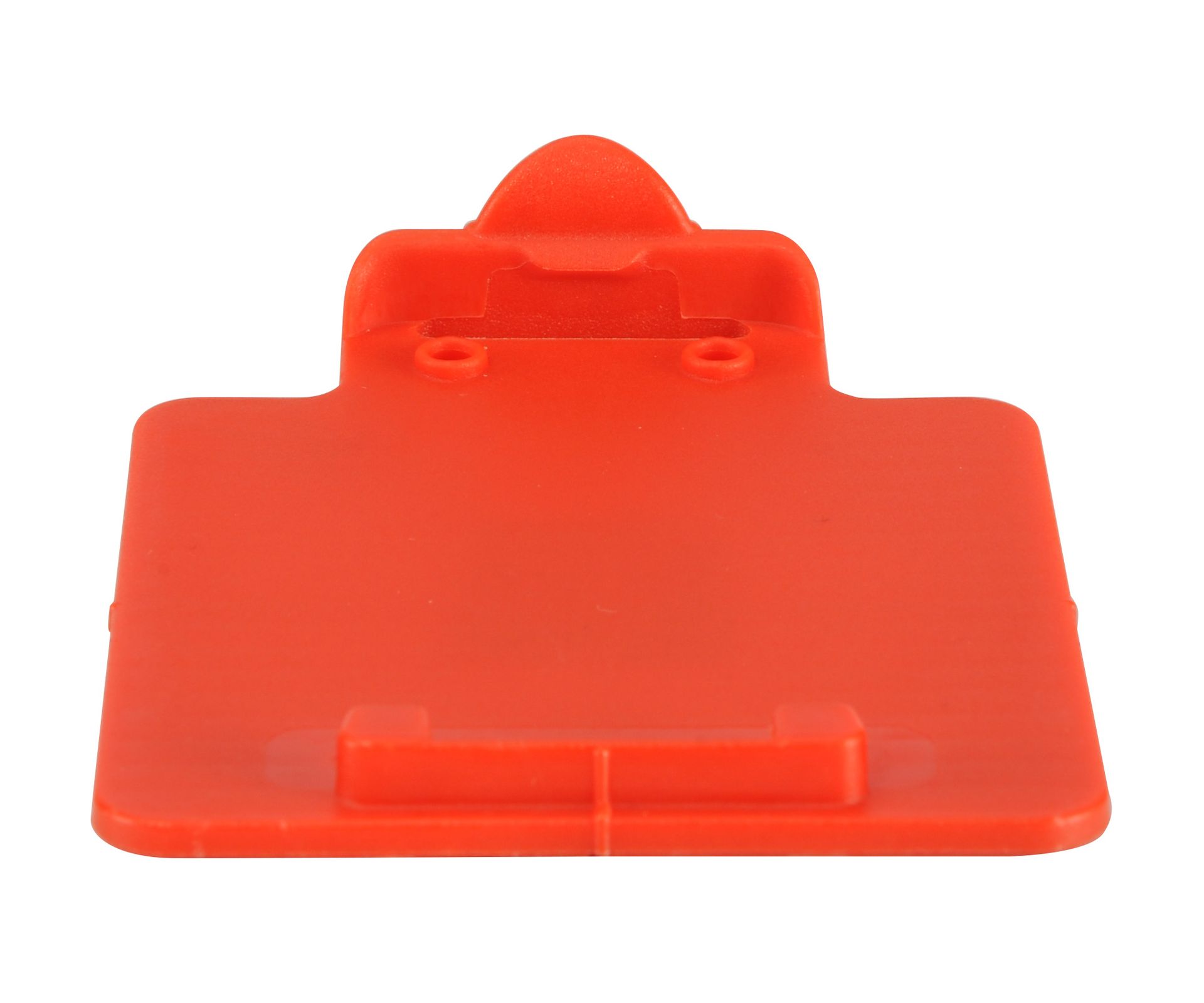
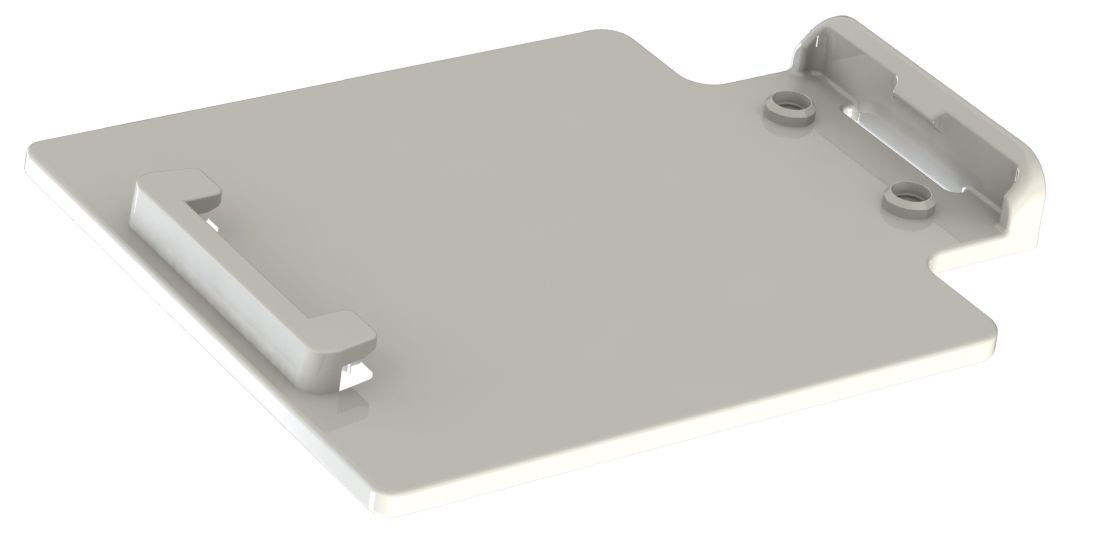
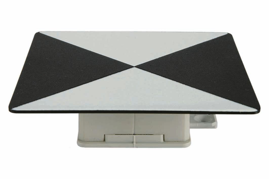
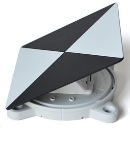
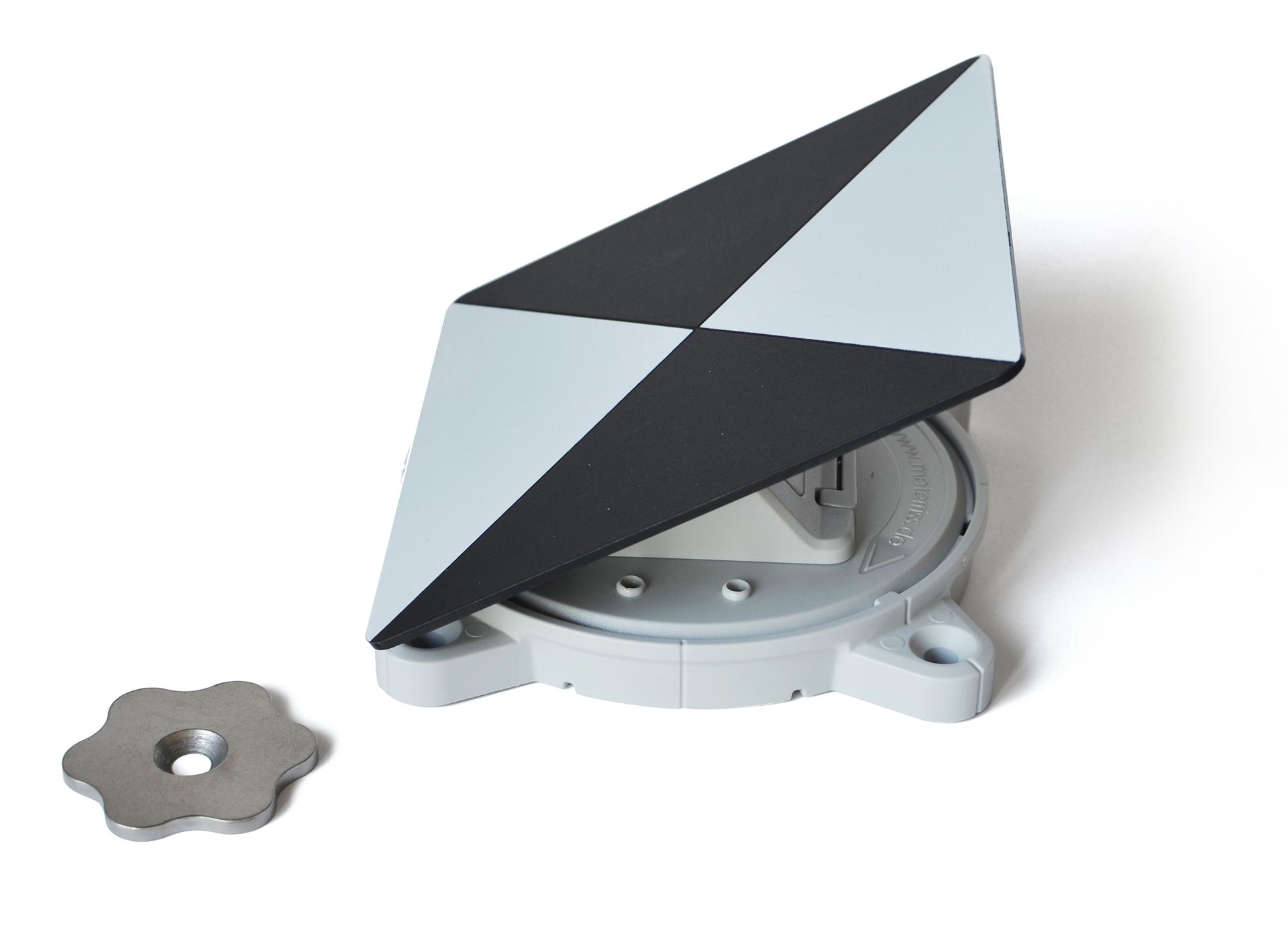
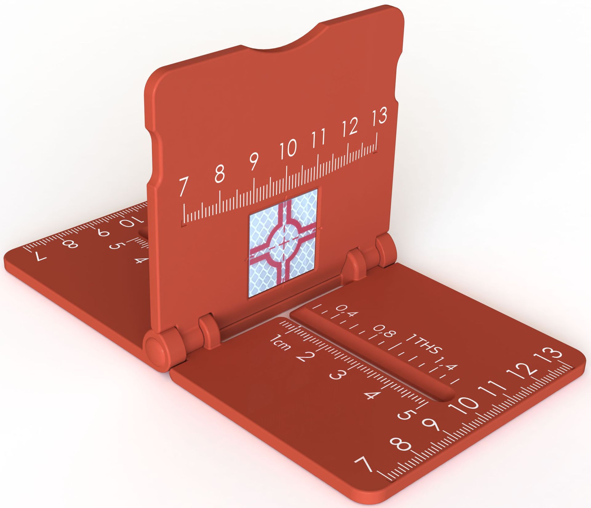
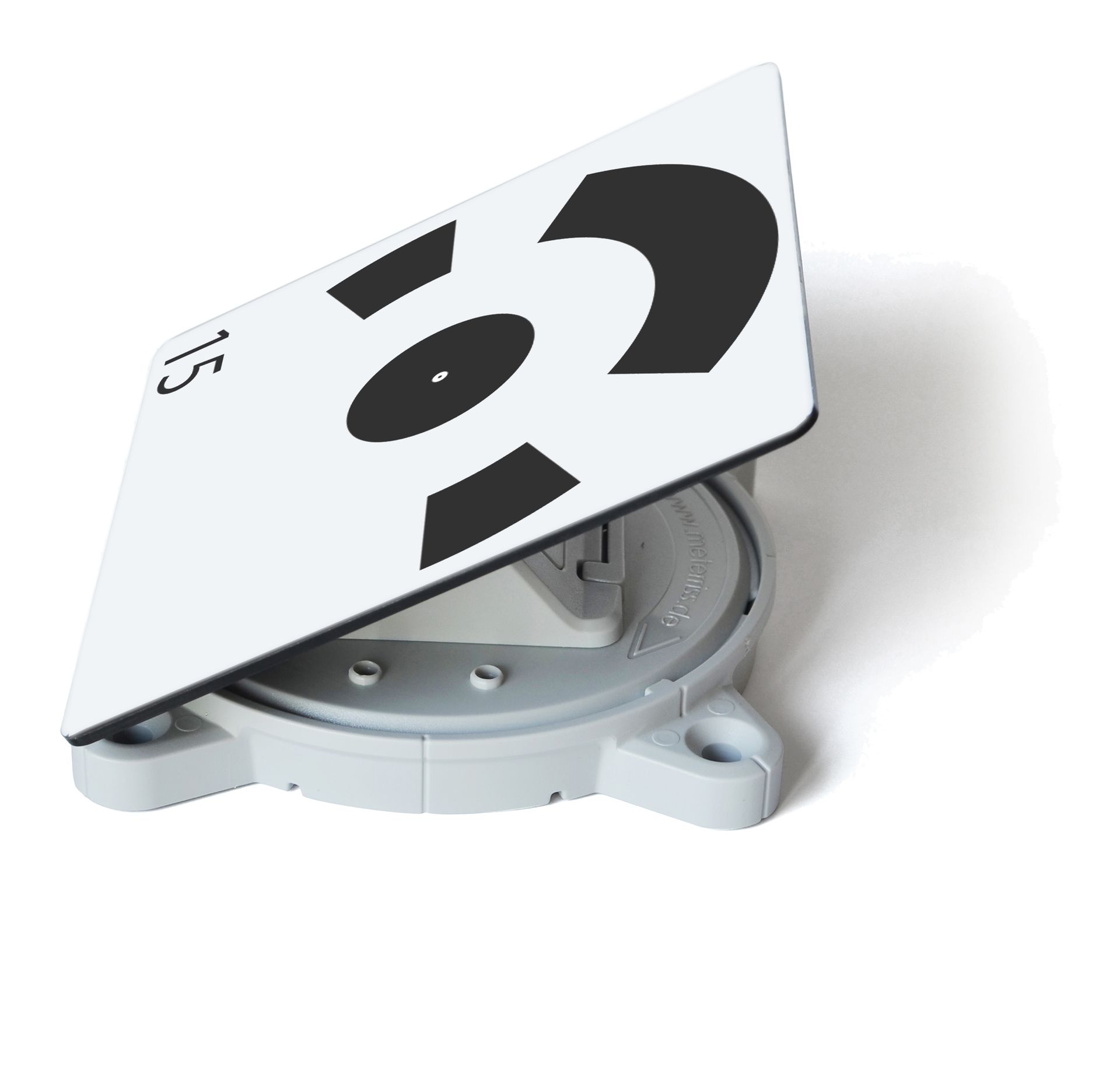
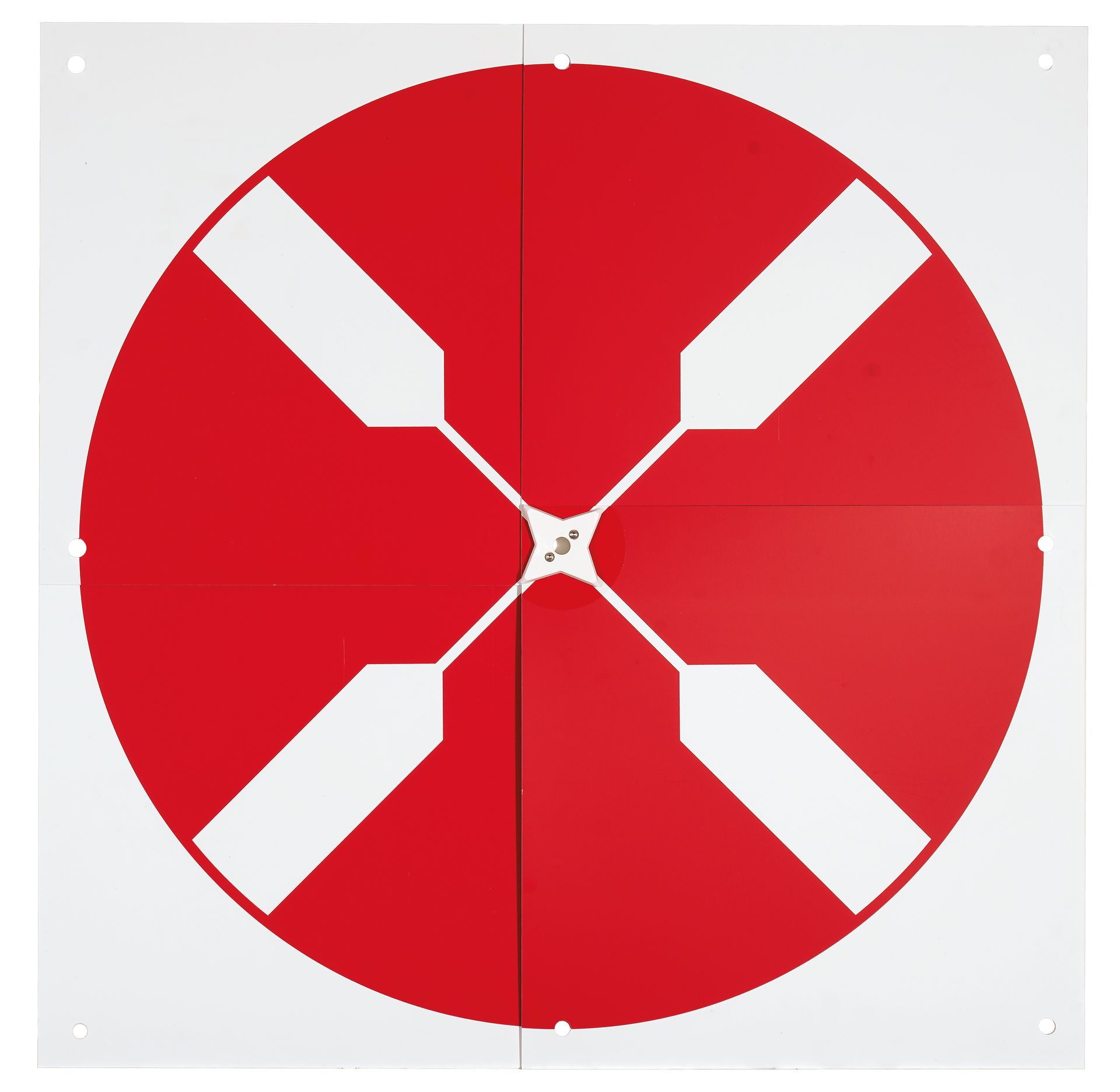
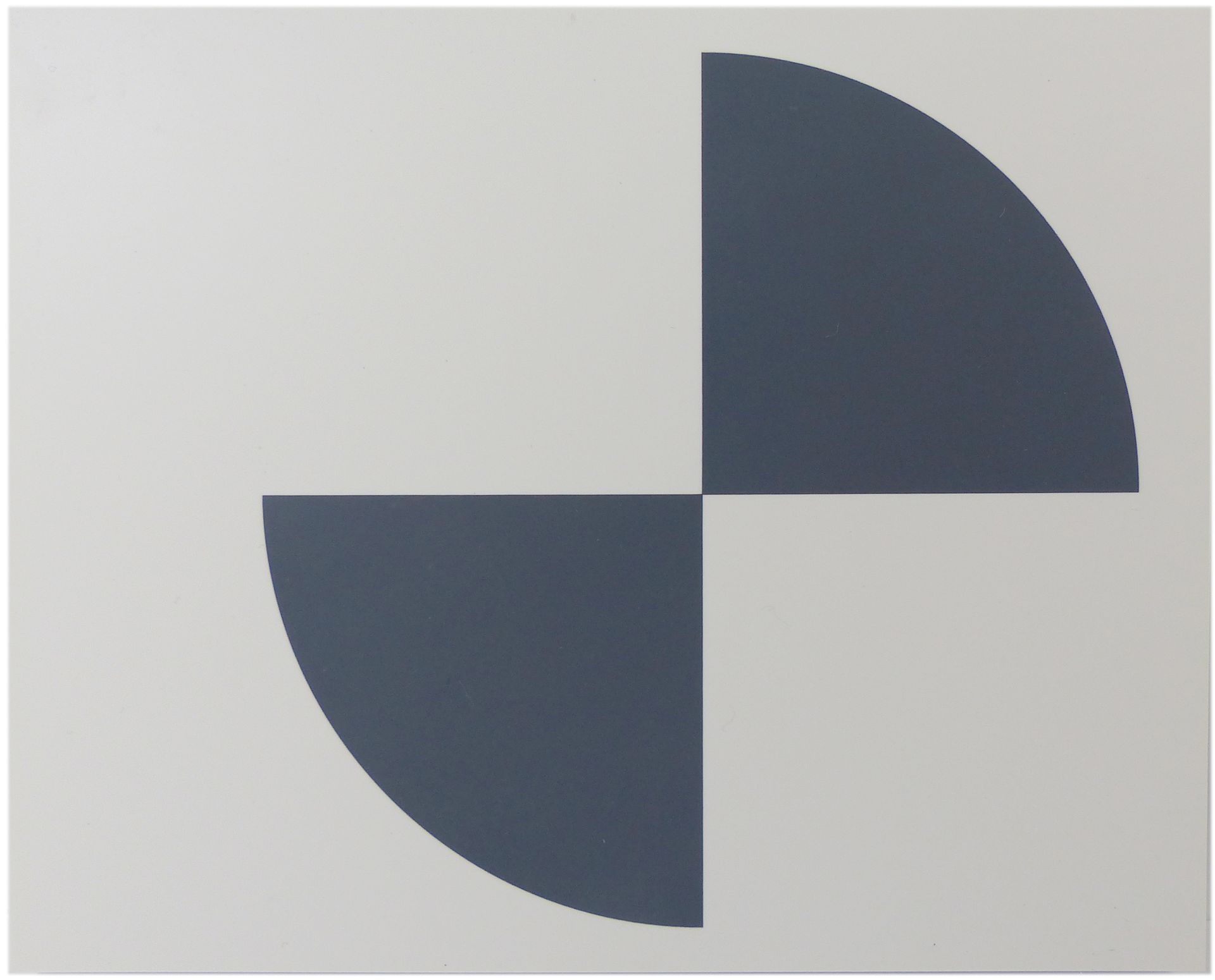
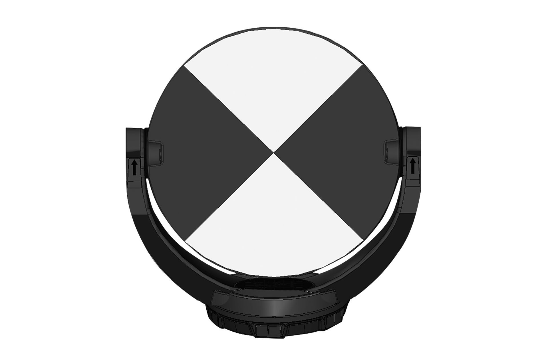
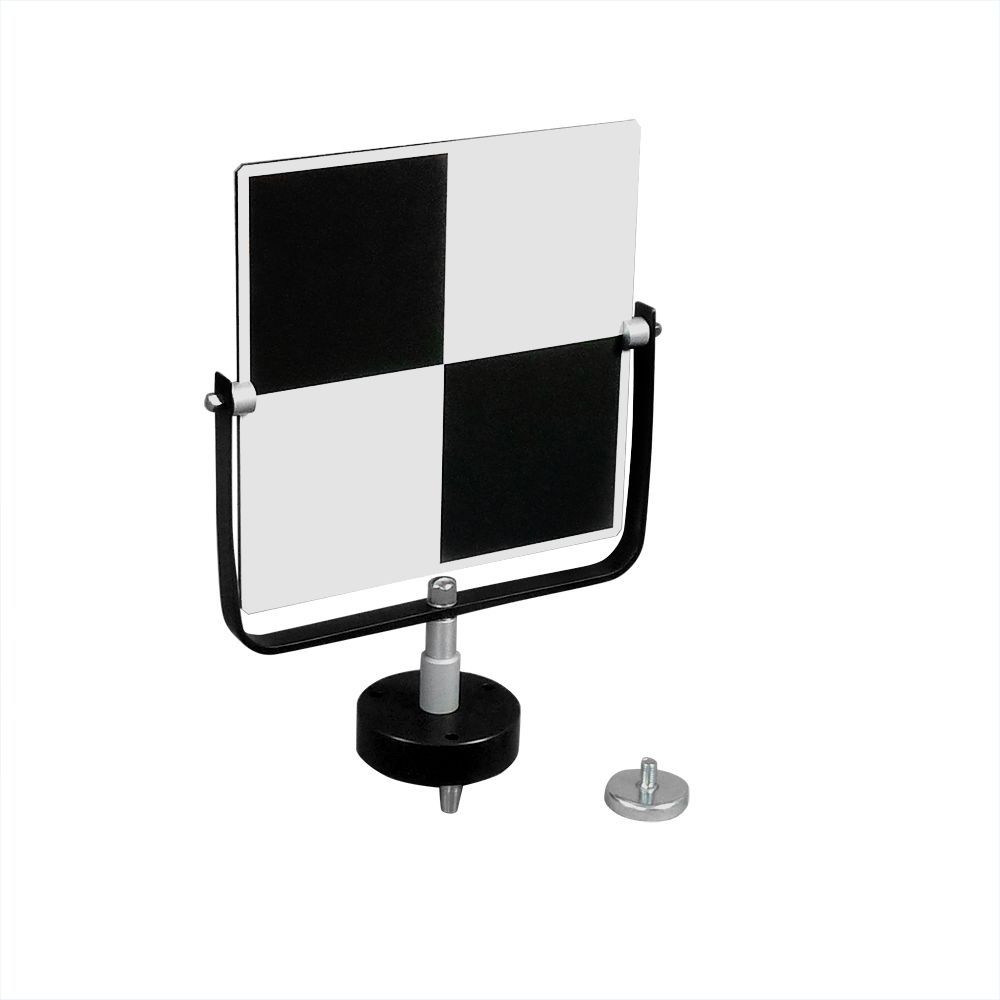
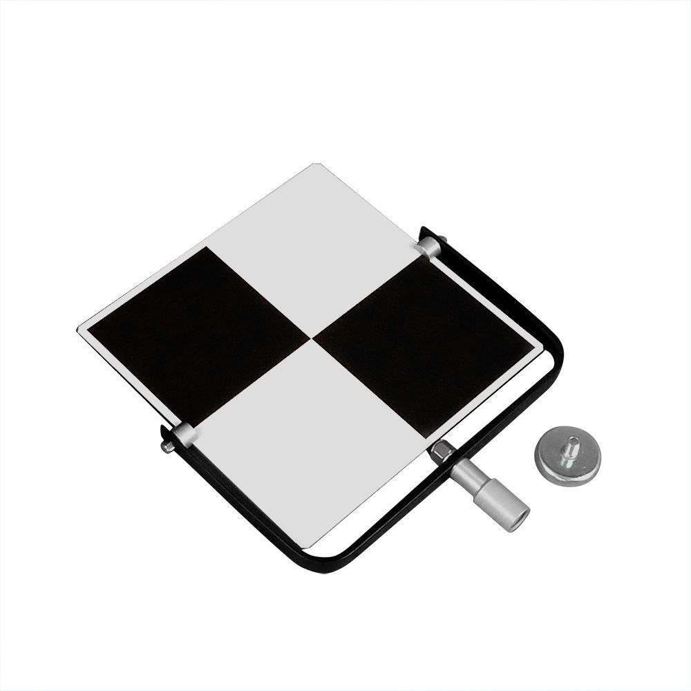
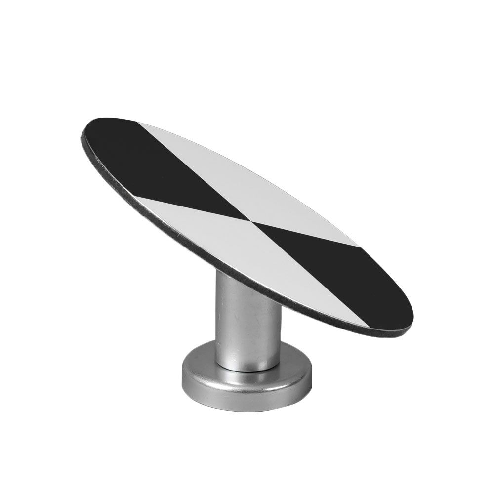
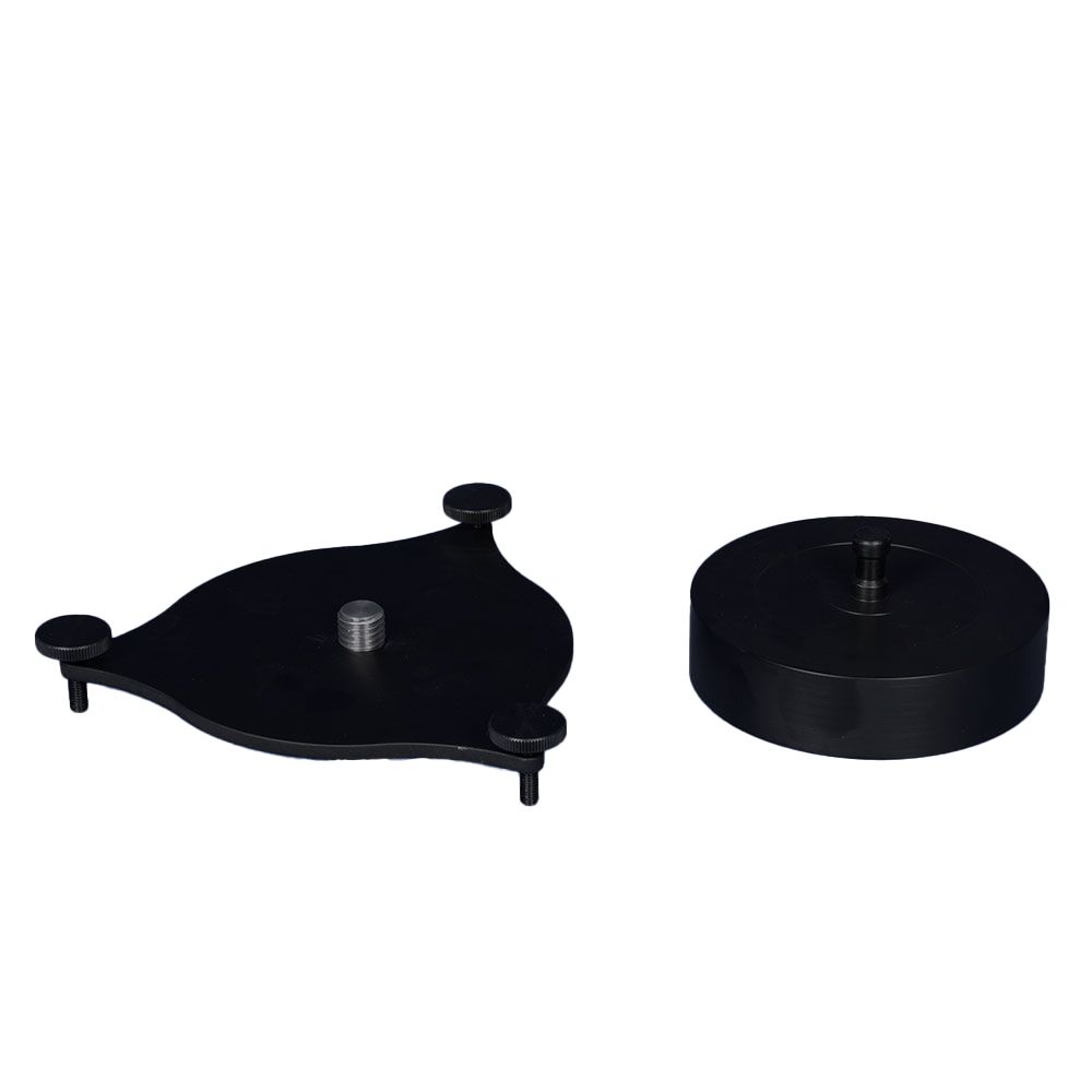
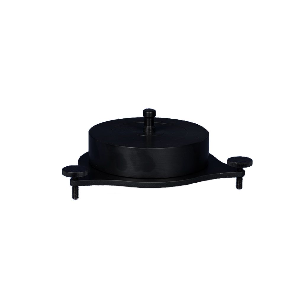
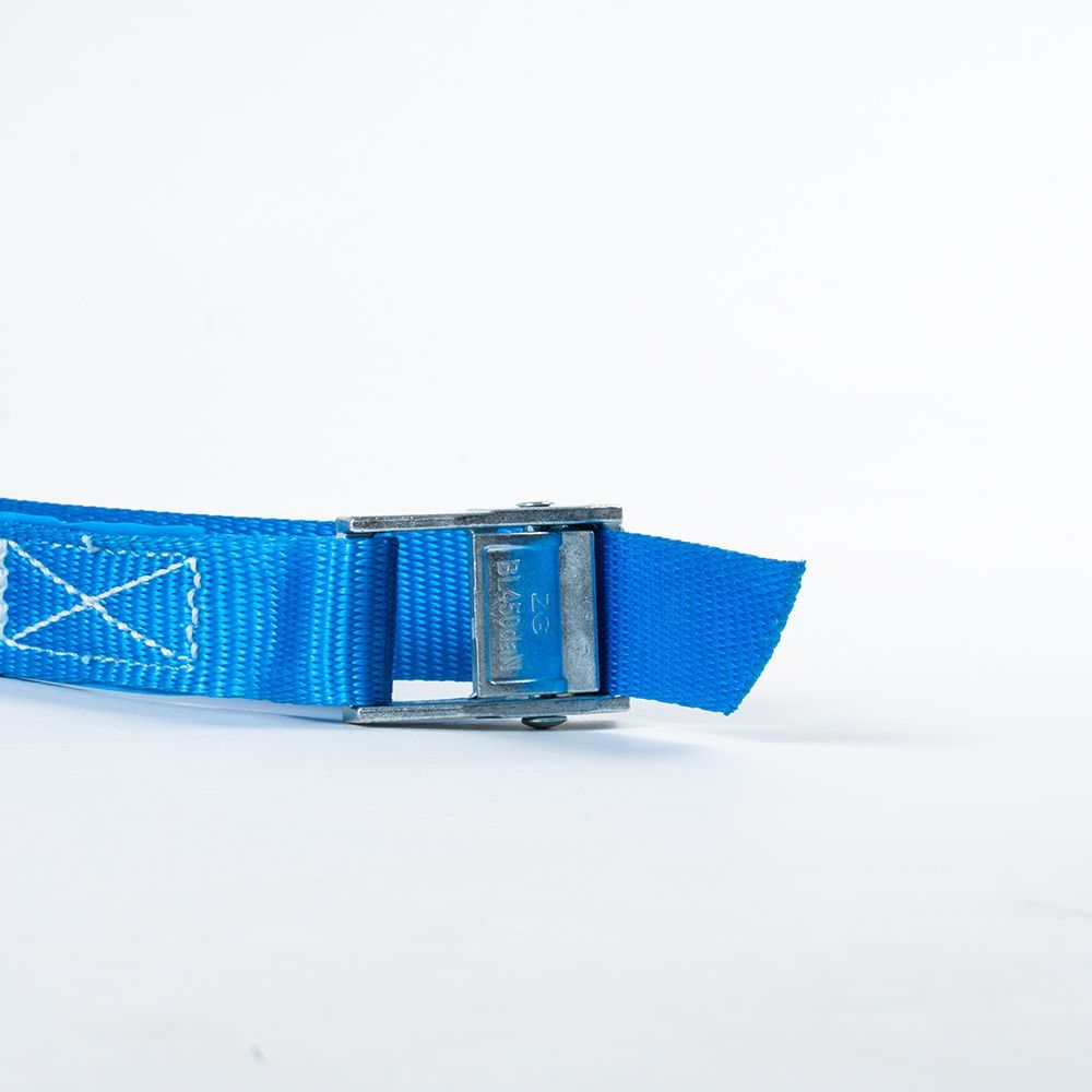
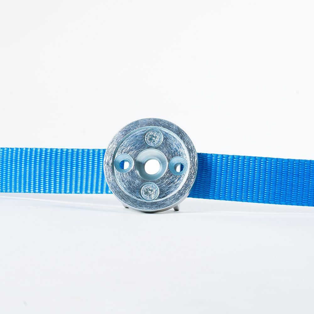
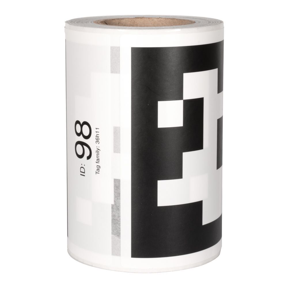
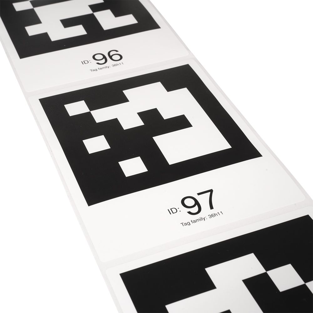
- Durable, reusable, and dimensionally stable target mark made from aluminum composite
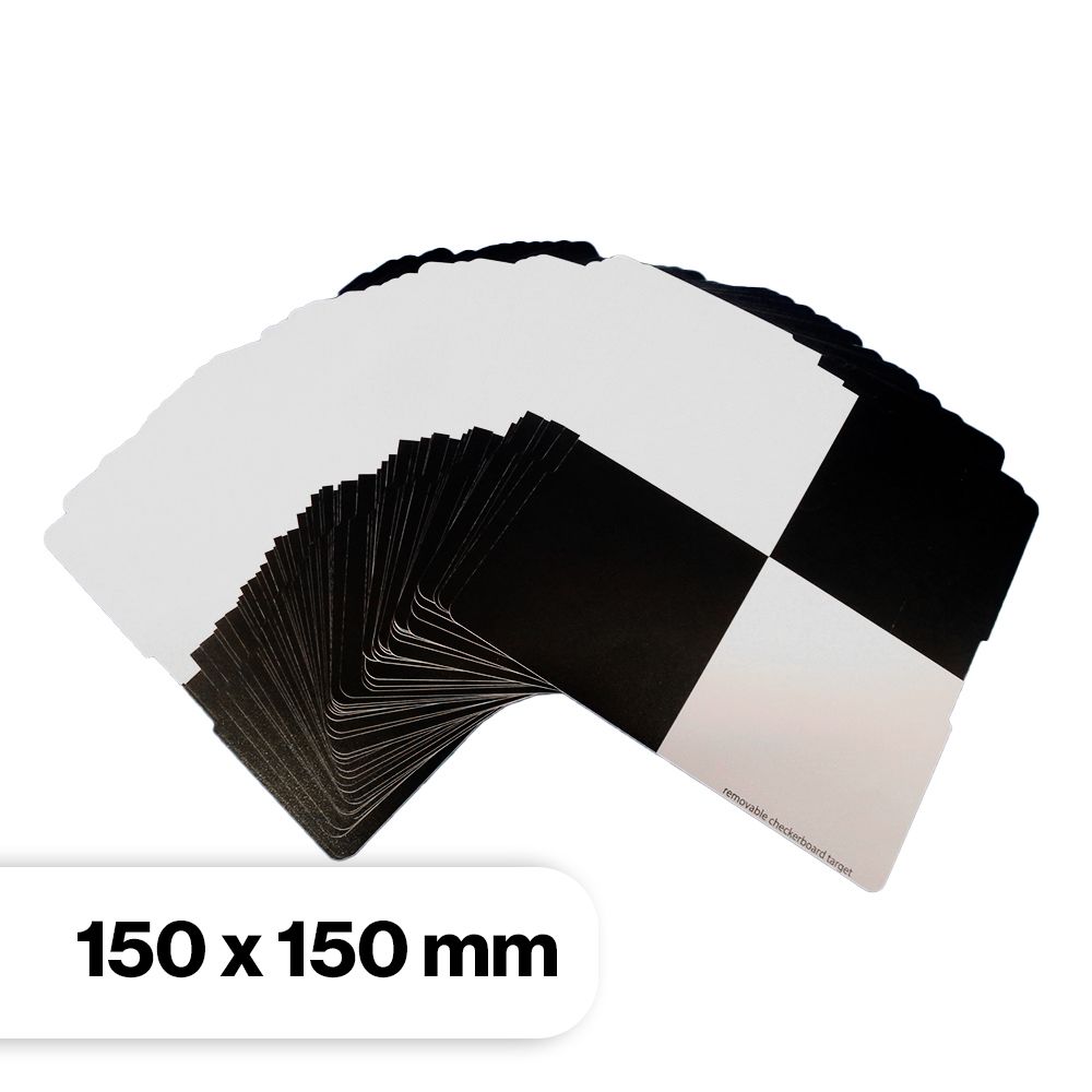
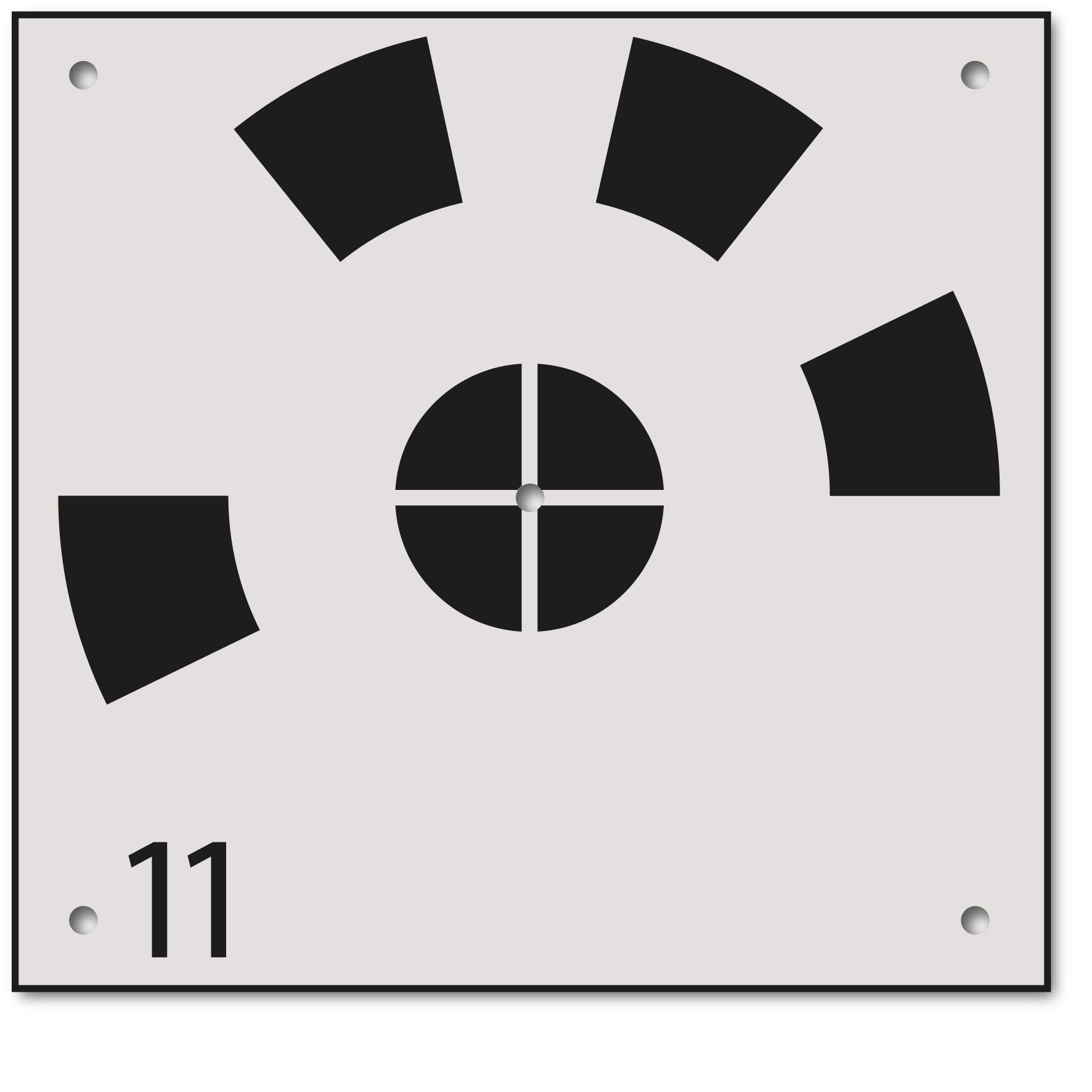
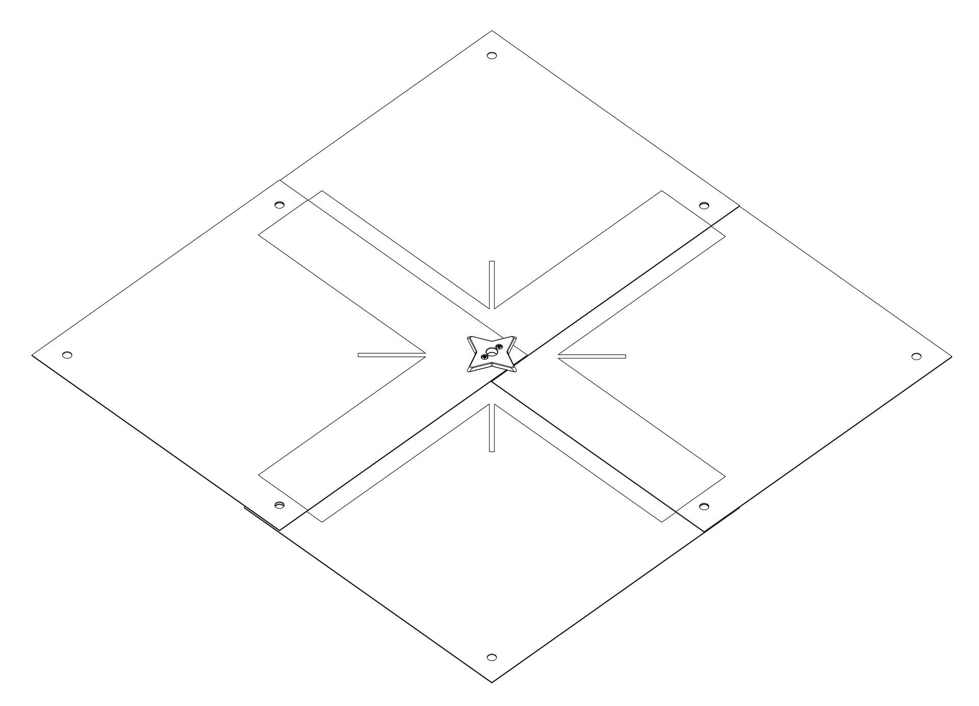
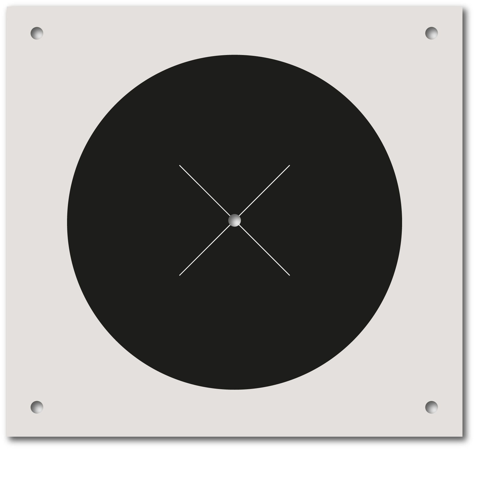
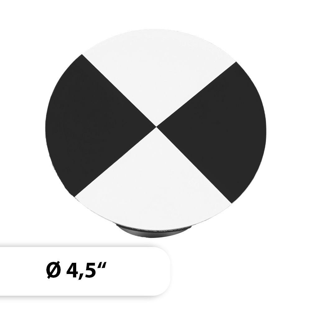
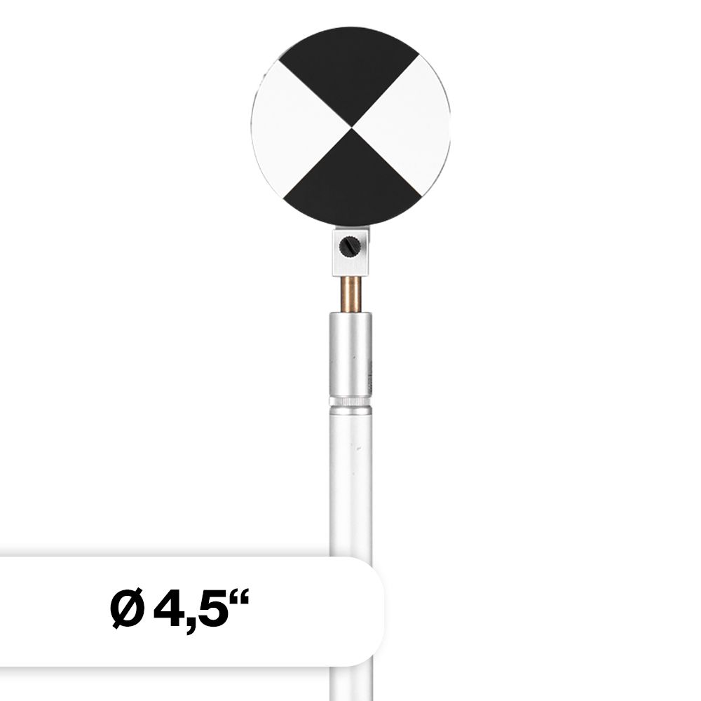
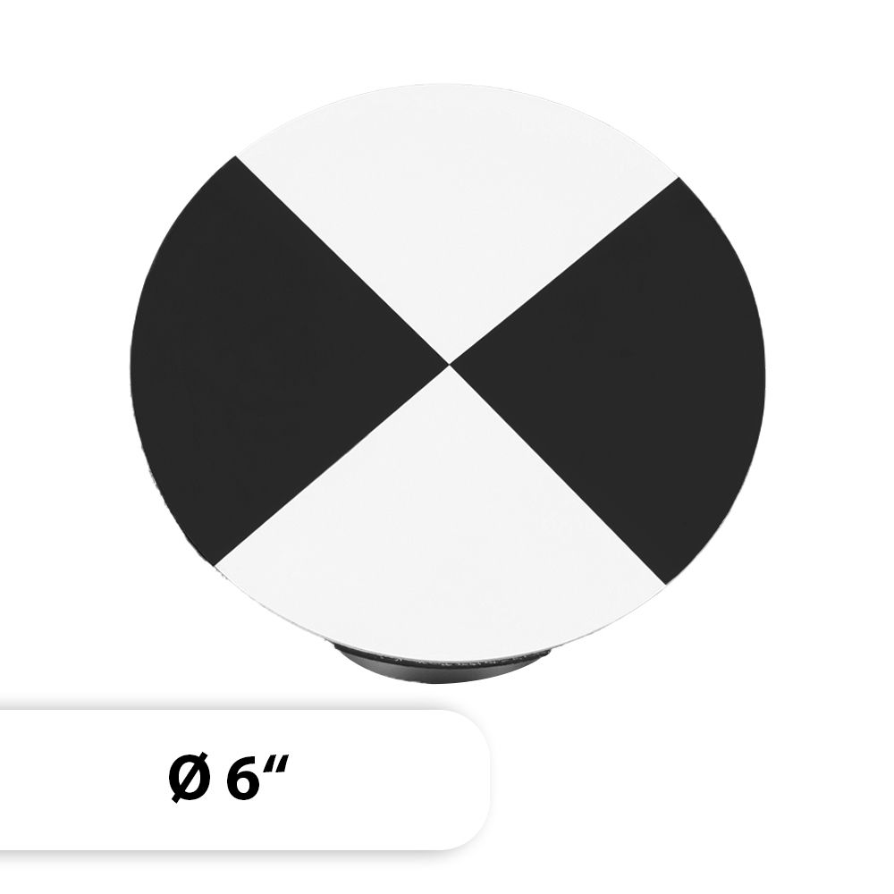
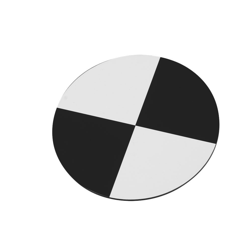
- Checkerboard mark dimensions: 69cm x 69cm
- Plate dimensions: 70cm x 70cm
- Plate thickness: 3mm
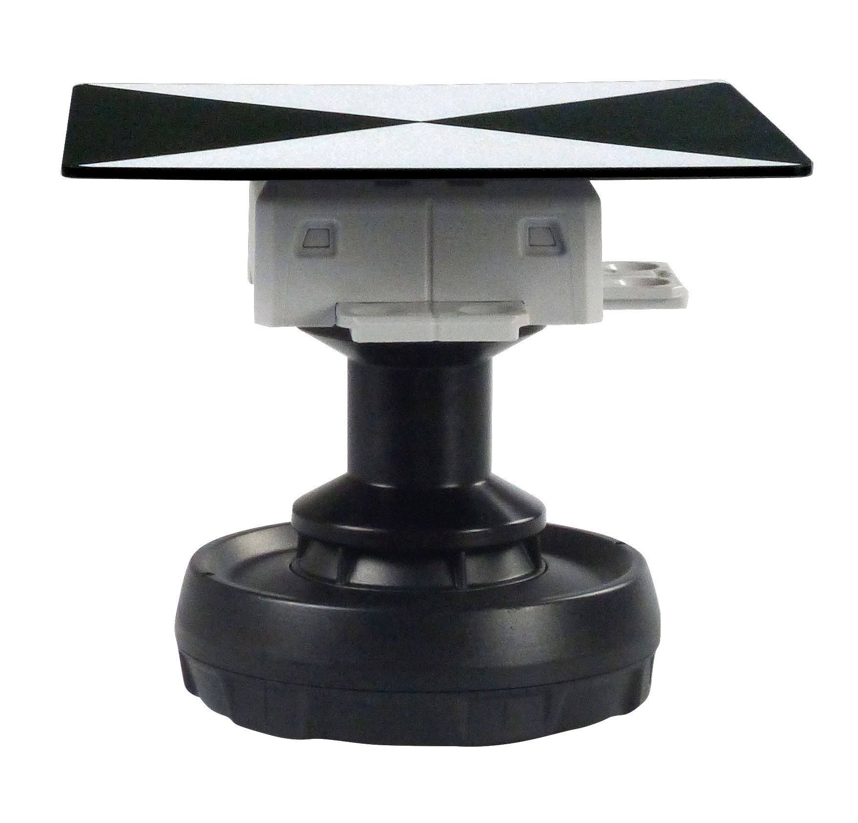
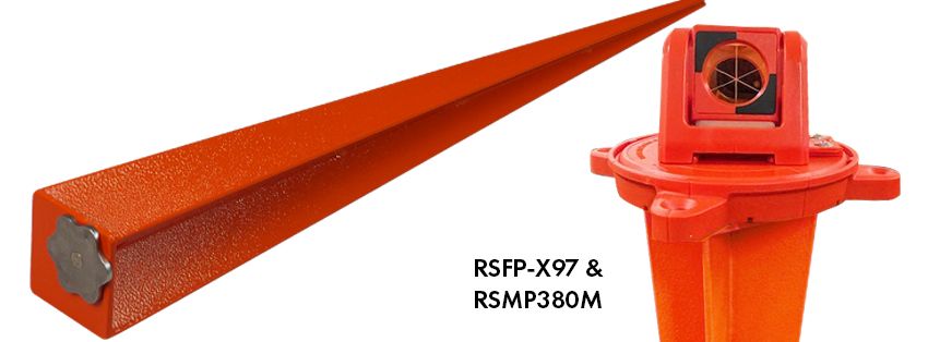
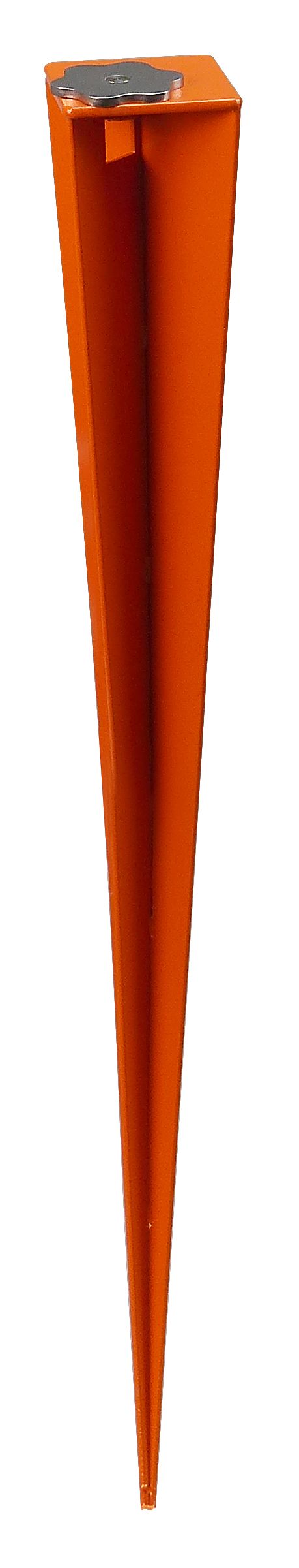
- Weight: 1.65kg – no anchoring required due to the plate's self-weight
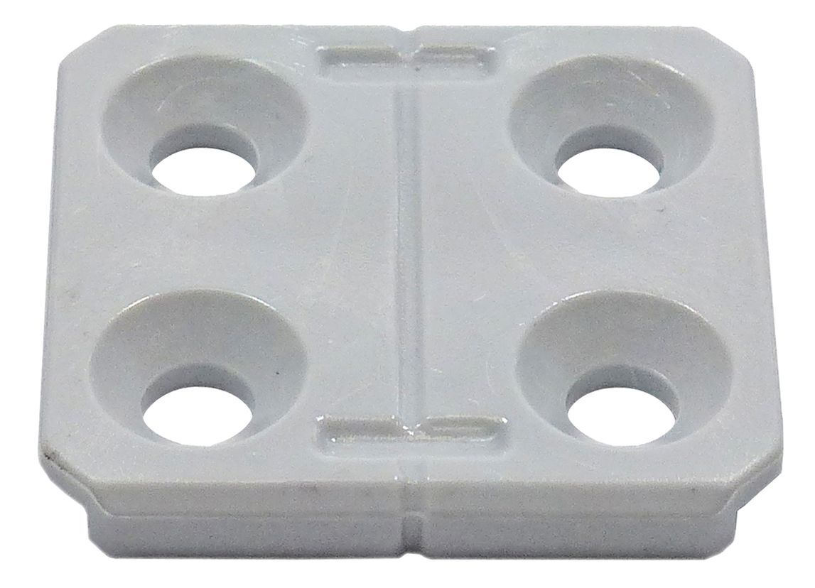
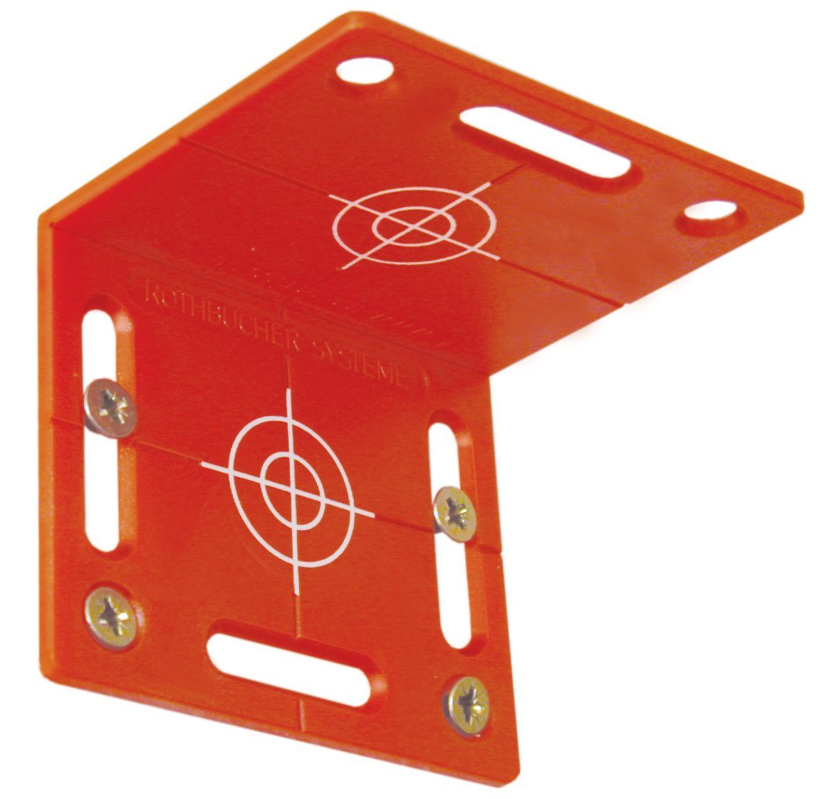
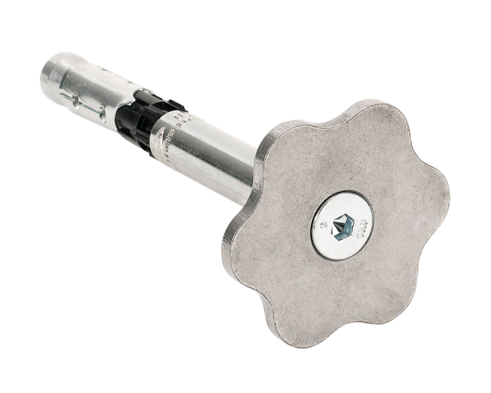
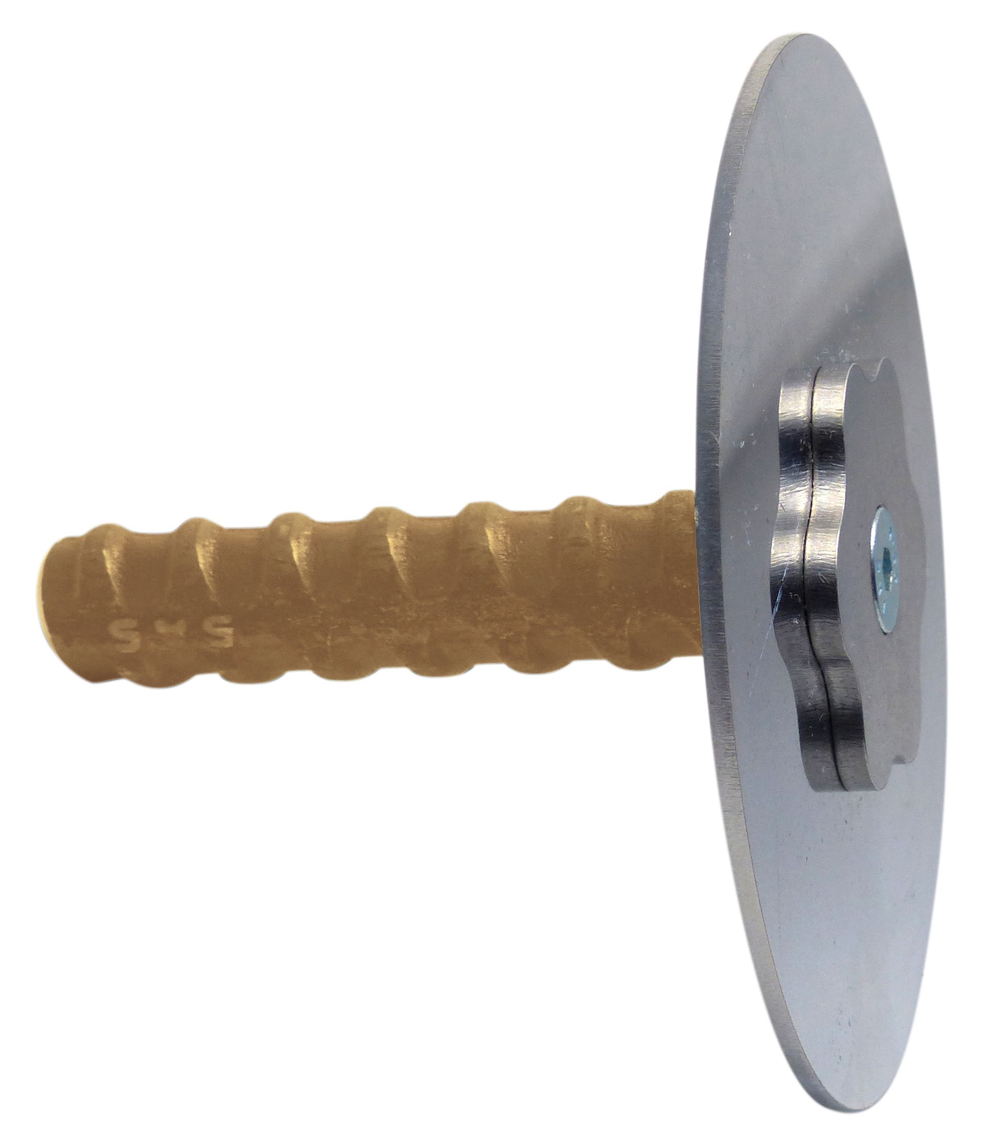
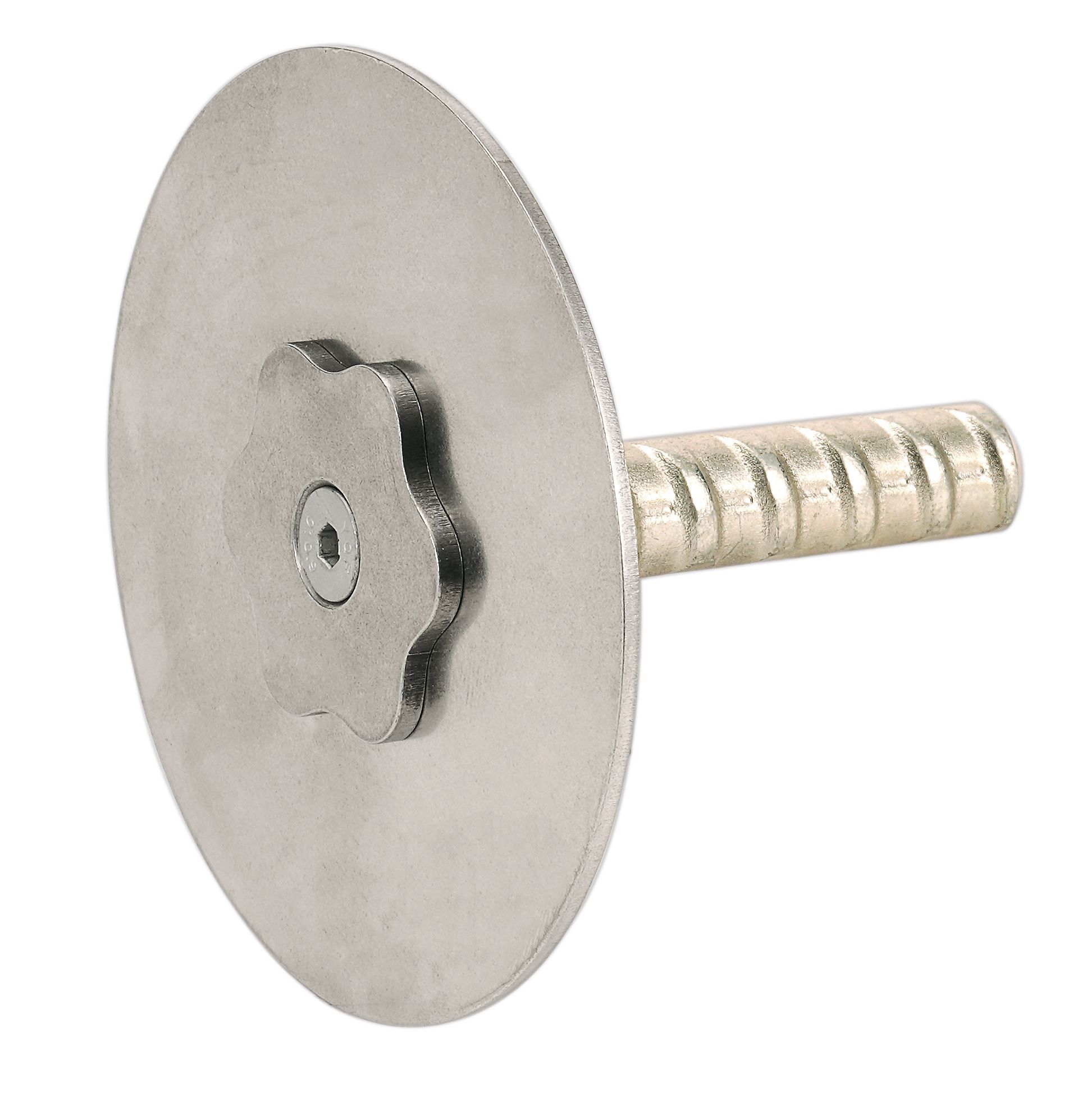
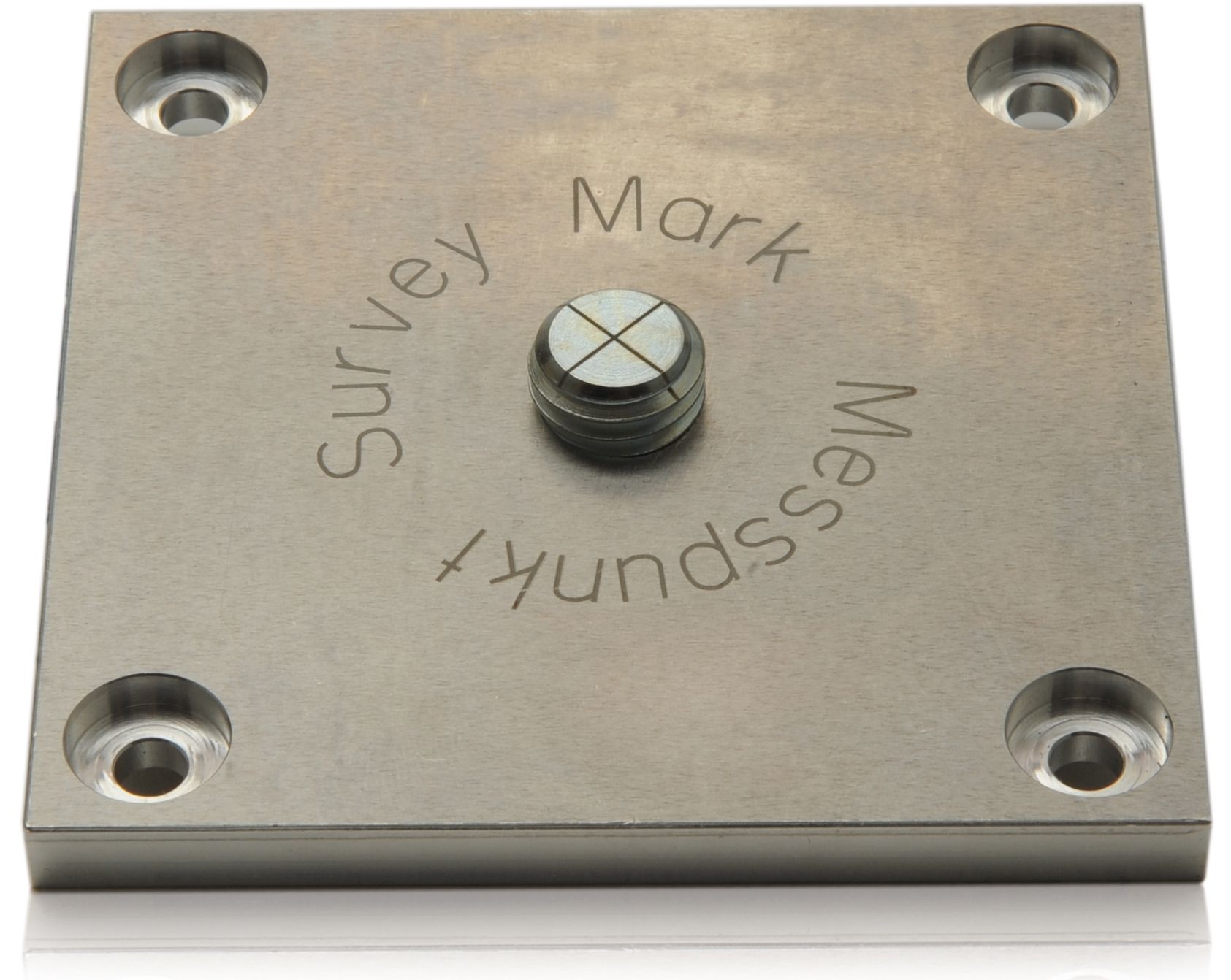
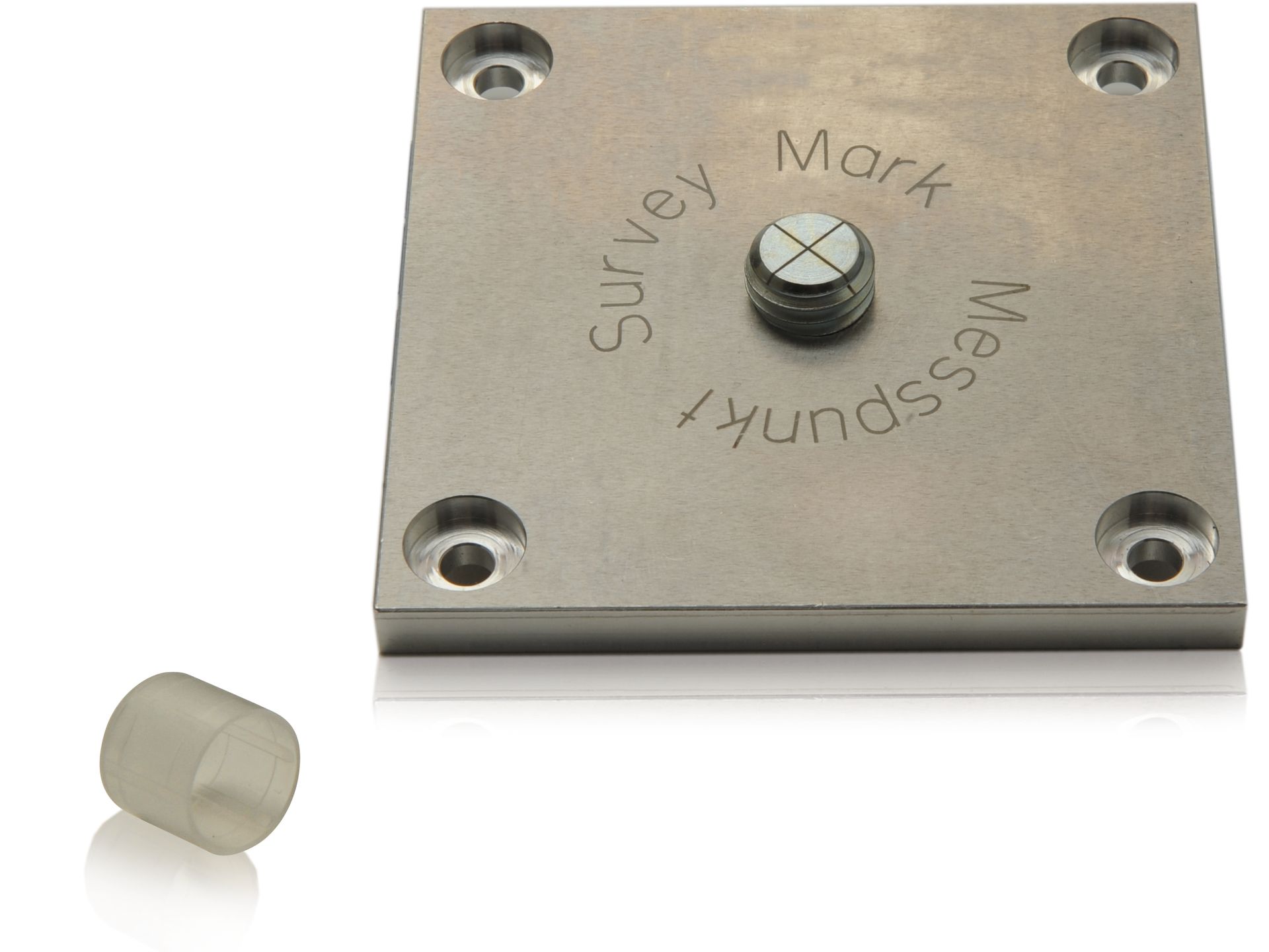
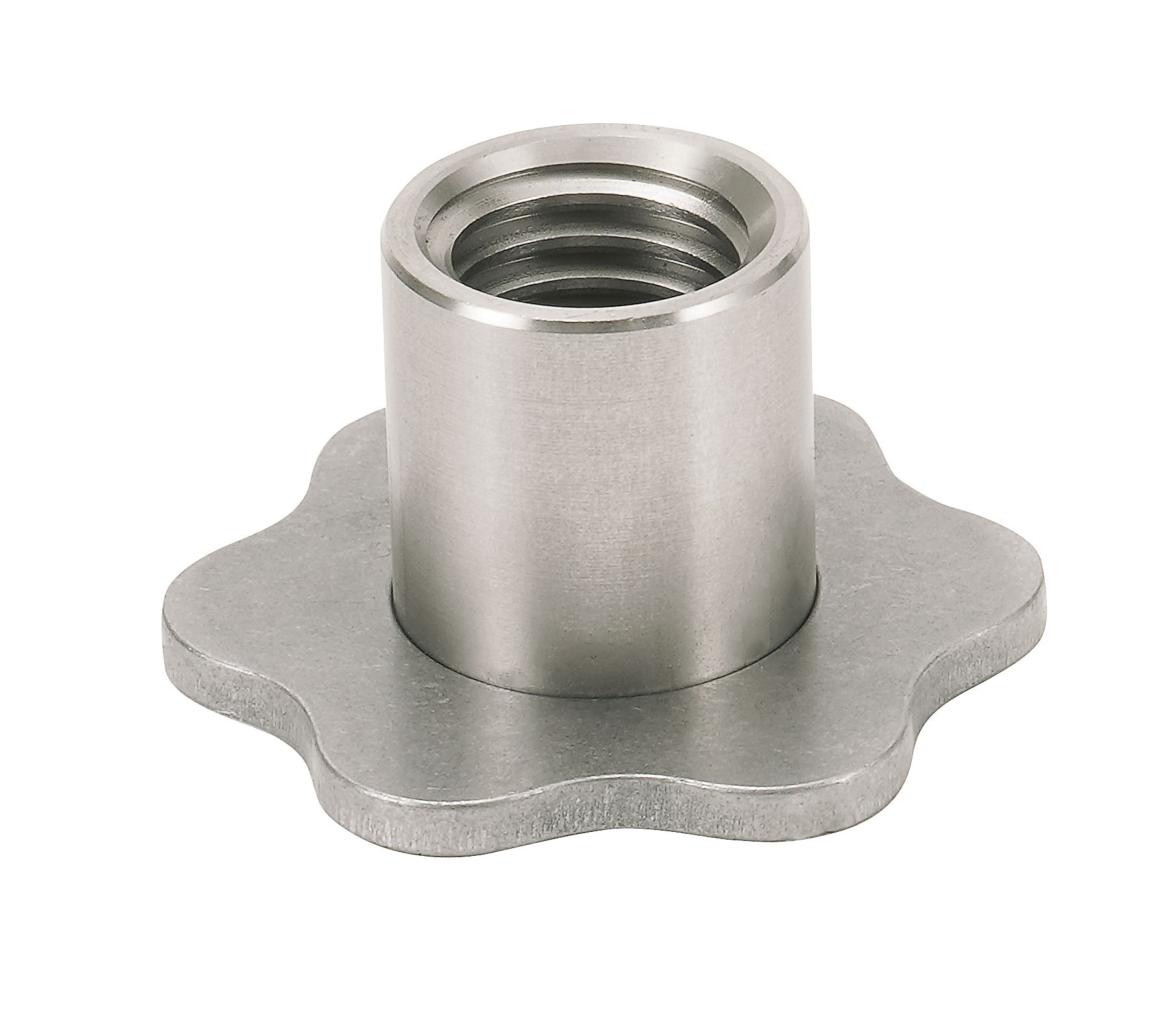
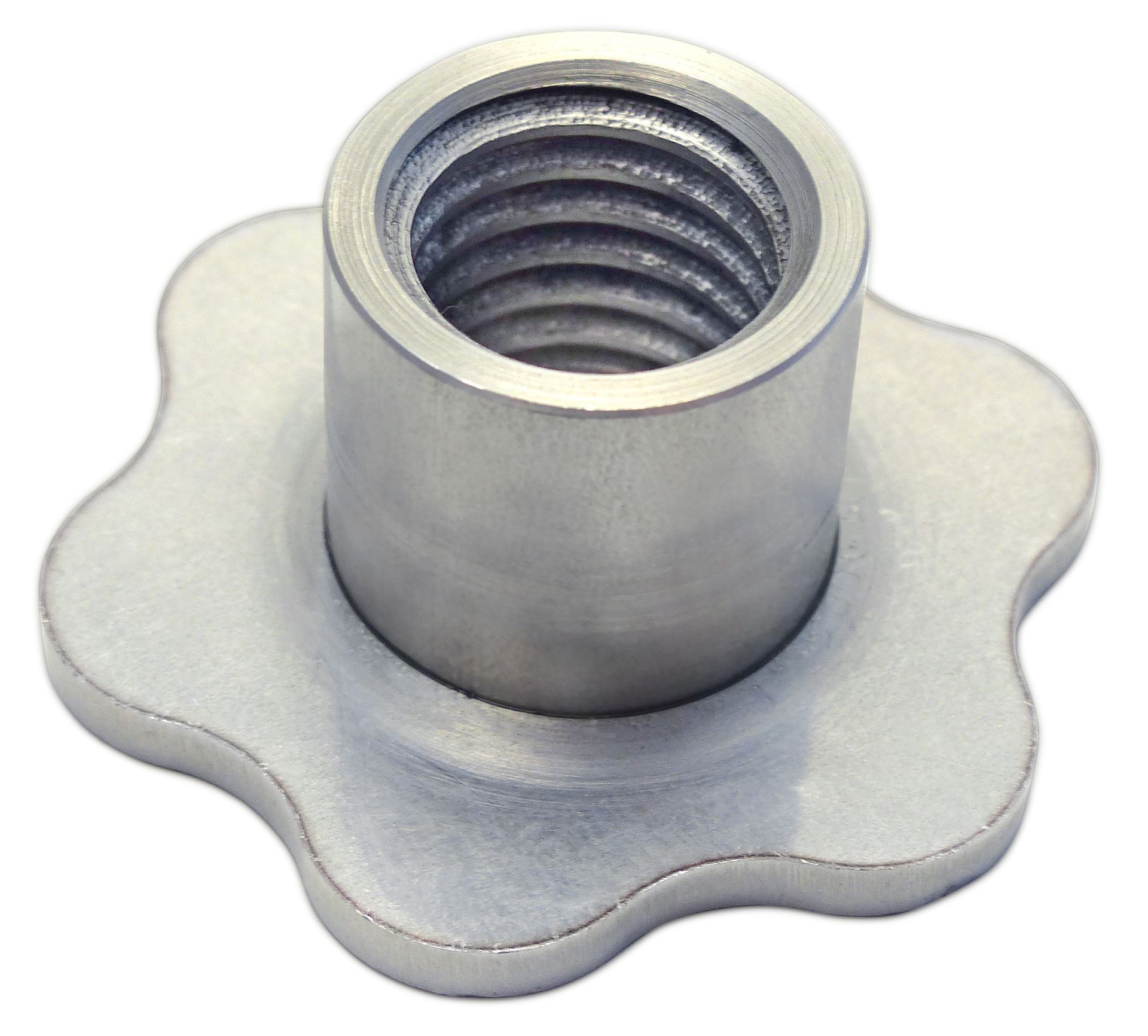
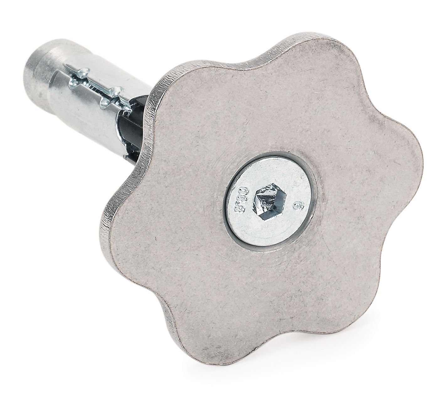
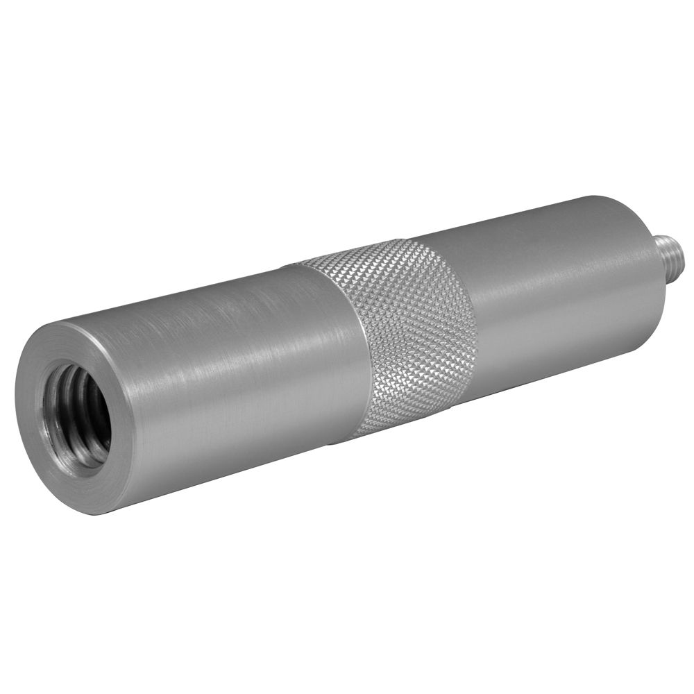
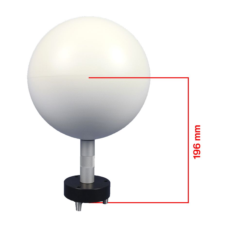
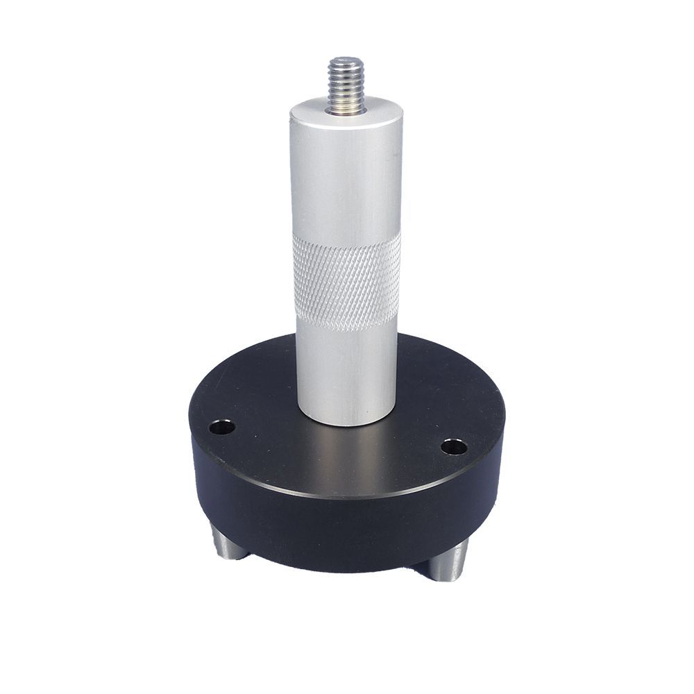
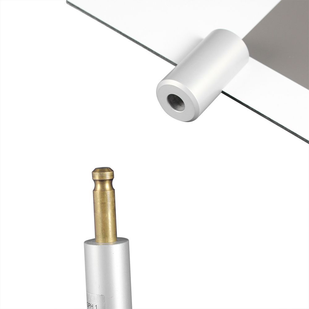
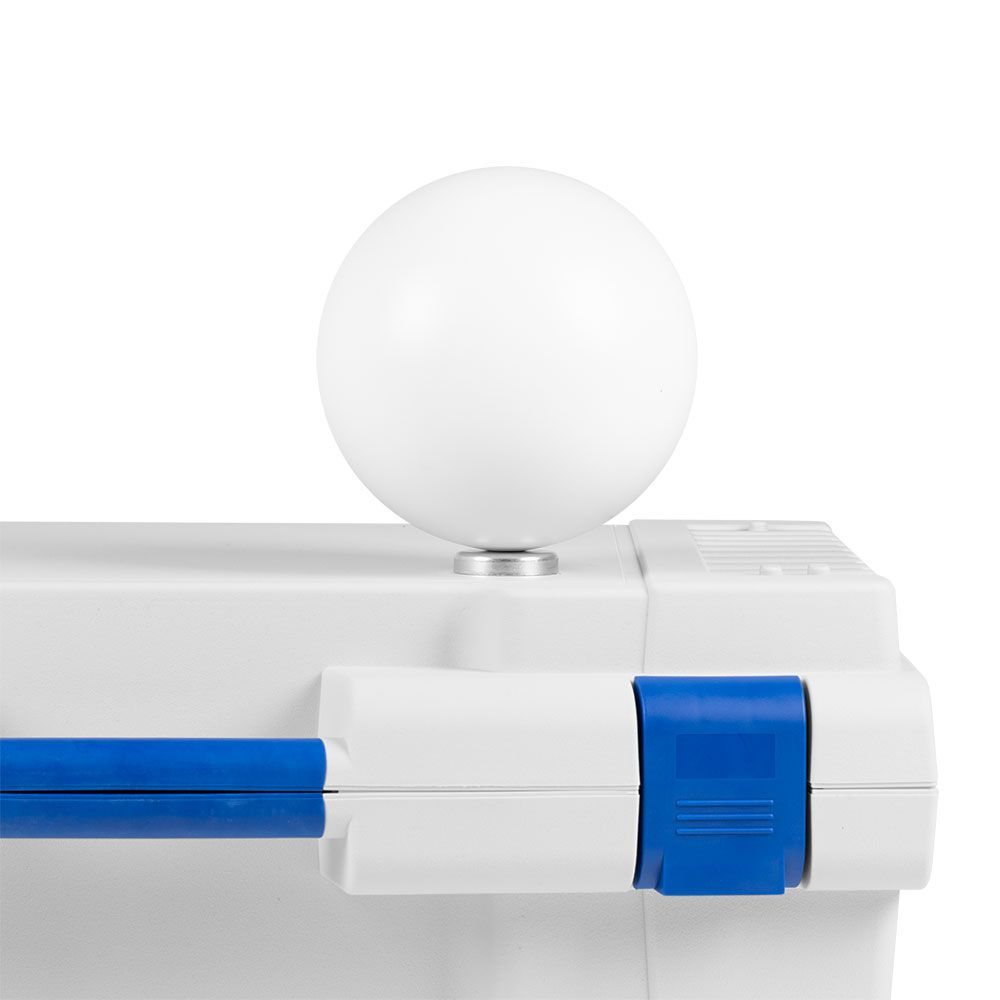
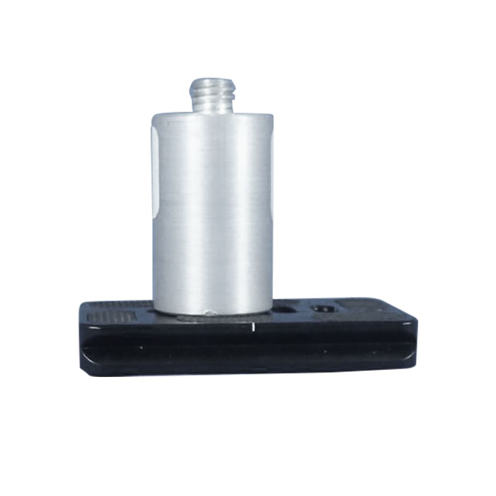
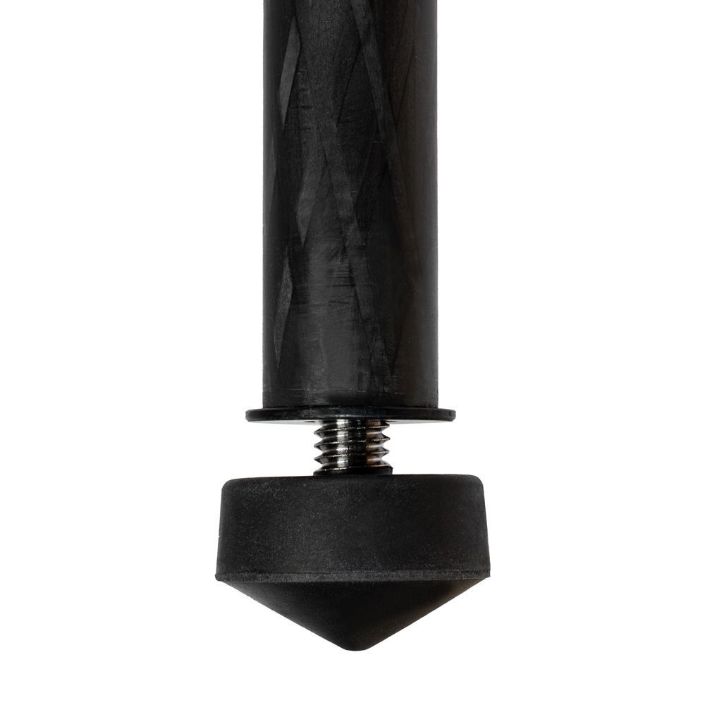
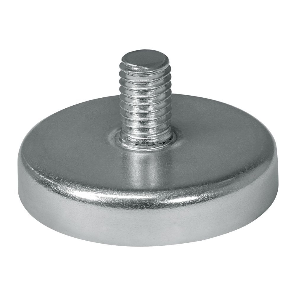
- Centered hole with a diameter of 1.0cm for positioning the plate on existing fixed points
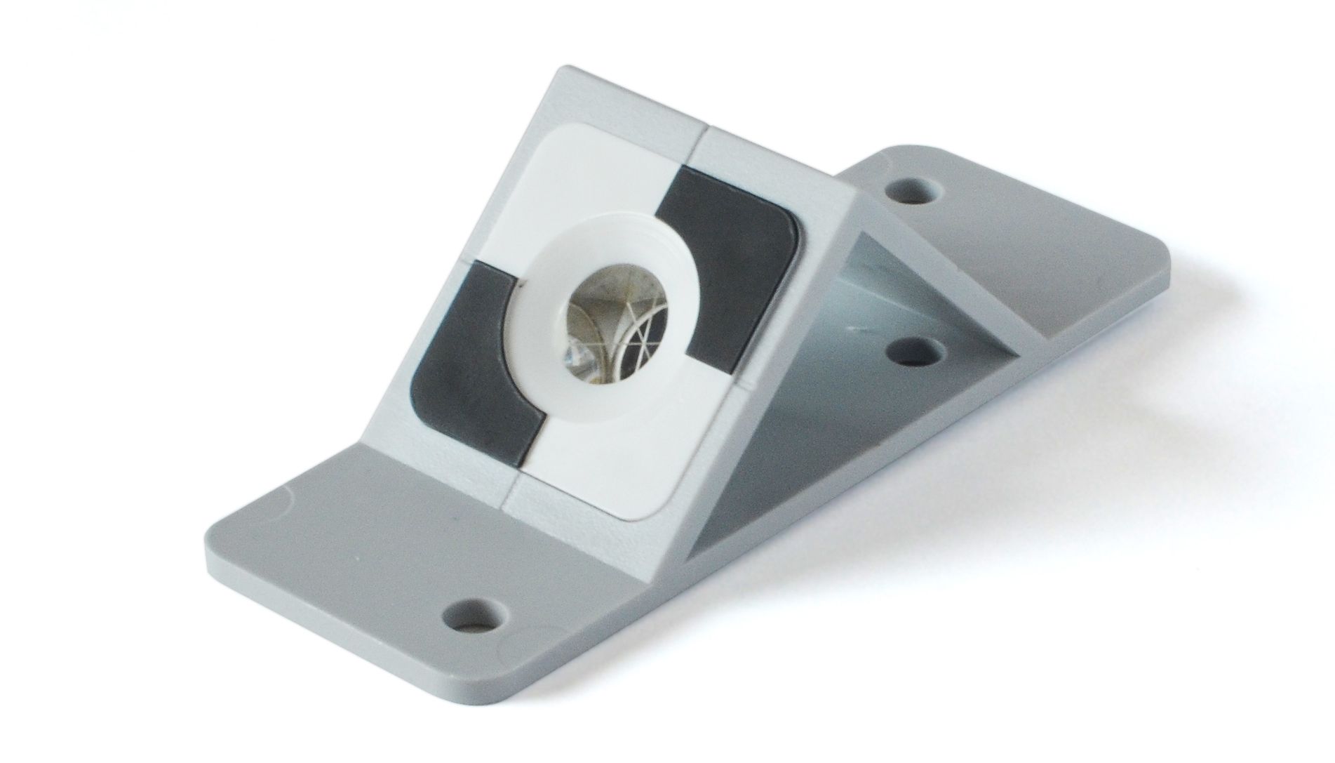
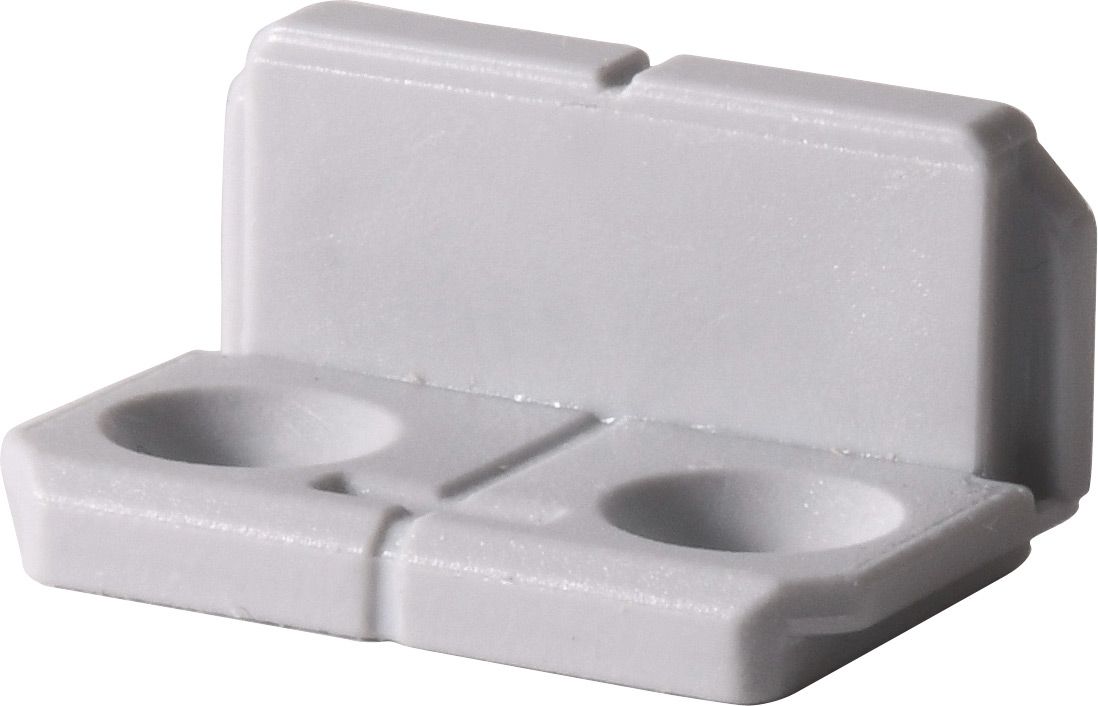
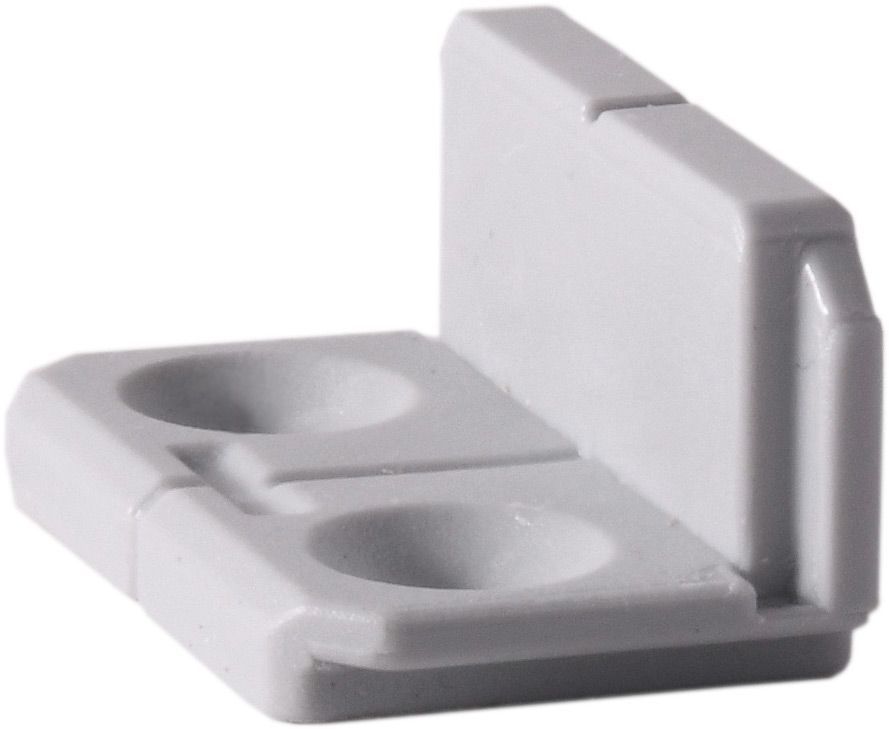
- Includes a cut-out for a convenient carrying handle
**Designated Use**
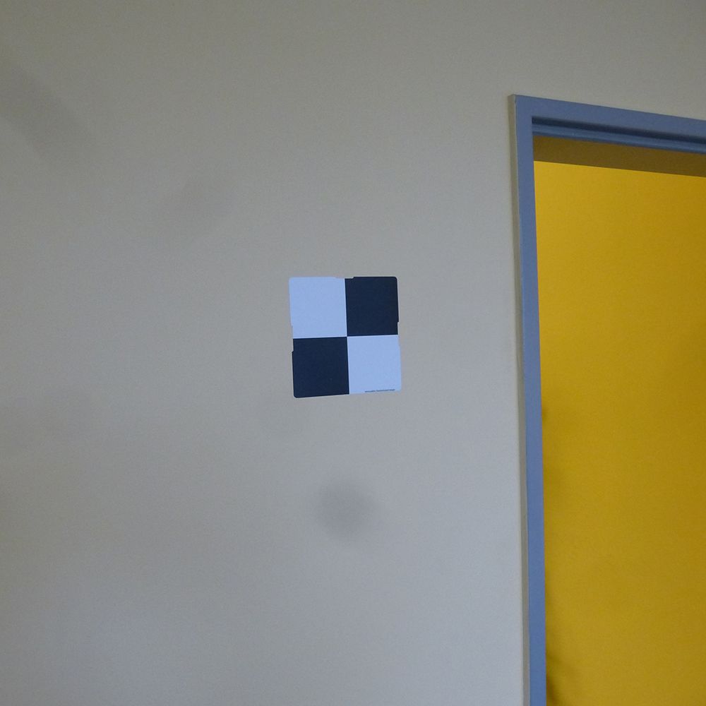
- Registration mark visible from flight altitudes of up to 120m, depending on sensor used
- Marking of existing fixed points
- Integration of UAV data with terrestrial data
**Compatibility**
- Suitable for all UAV types and photogrammetric software
**Areas of Application**
- Architecture and construction
- Industrial and plant engineering
- Surface mining, earth mass calculations, digital terrain modeling
- Energy and utility companies
- Urban and landscape planning
- Archaeology
- Forensics
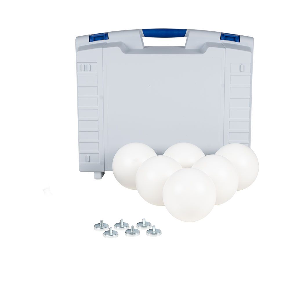
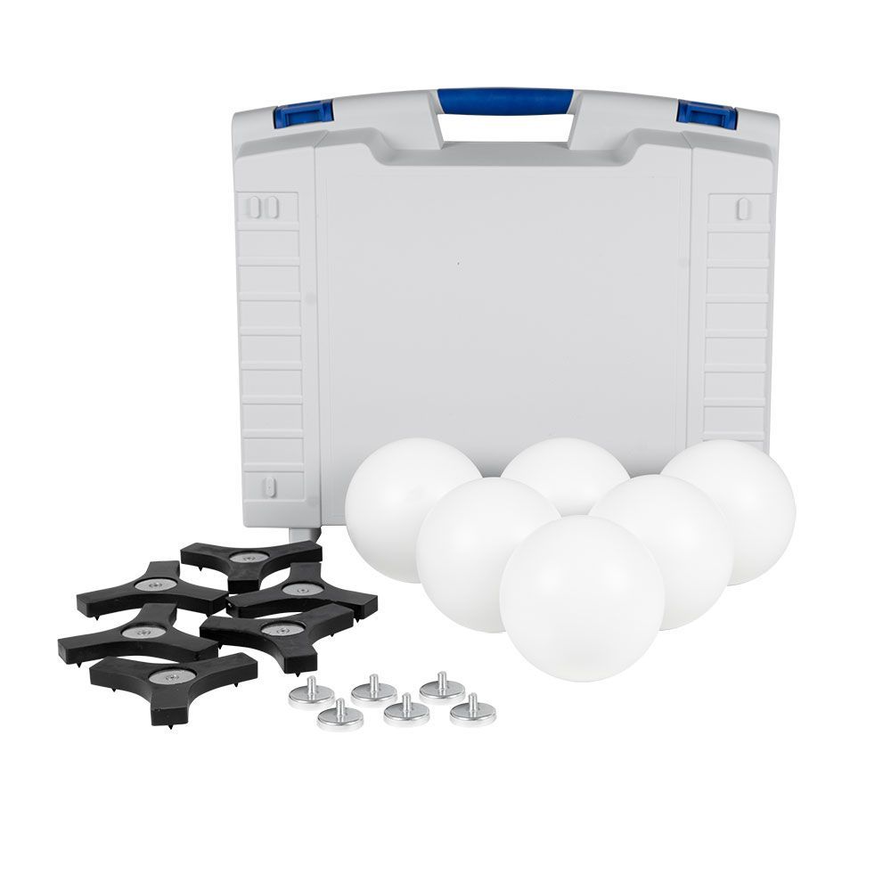
**Delivery Content**
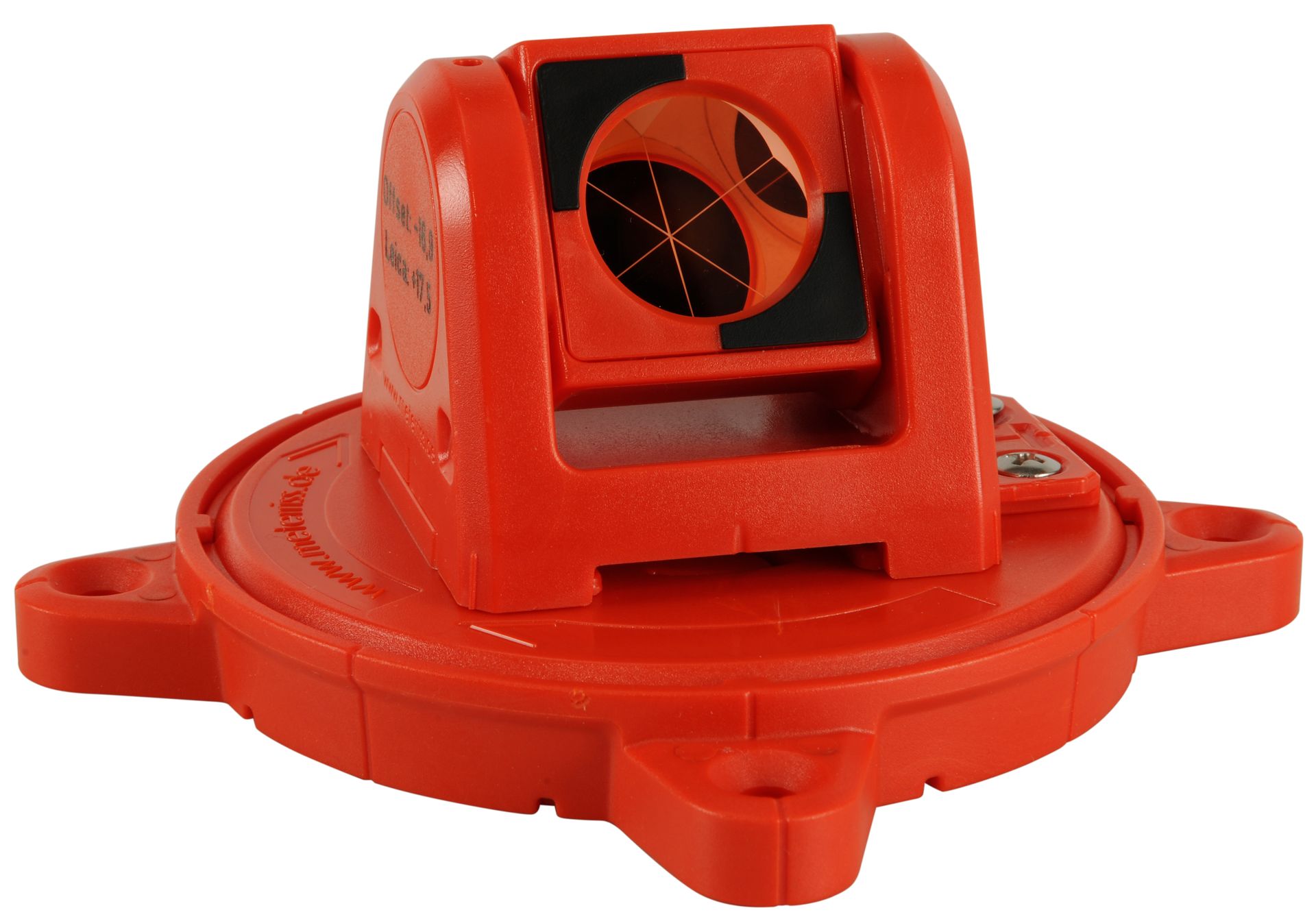
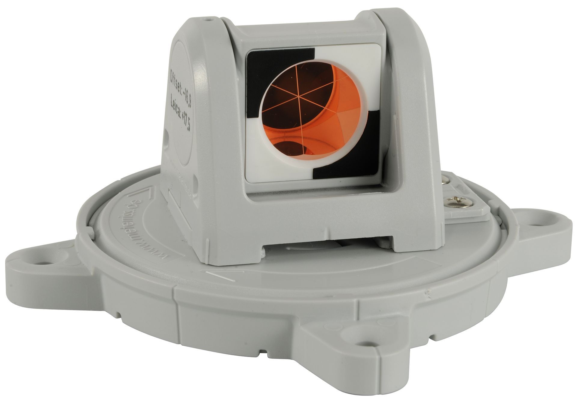
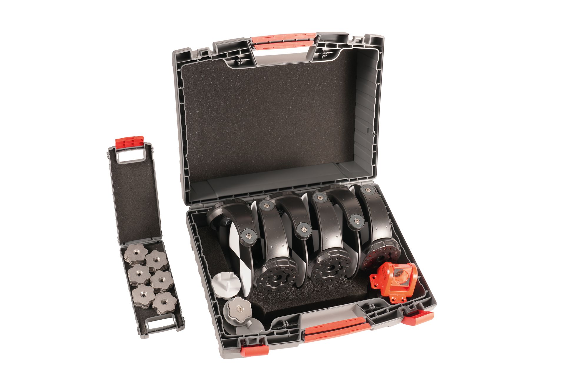
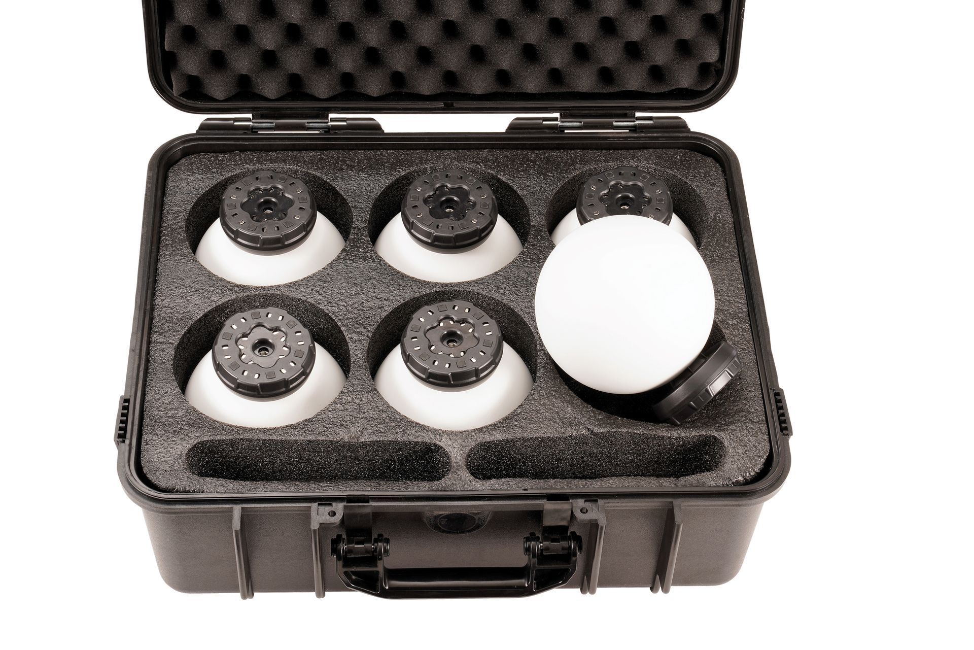
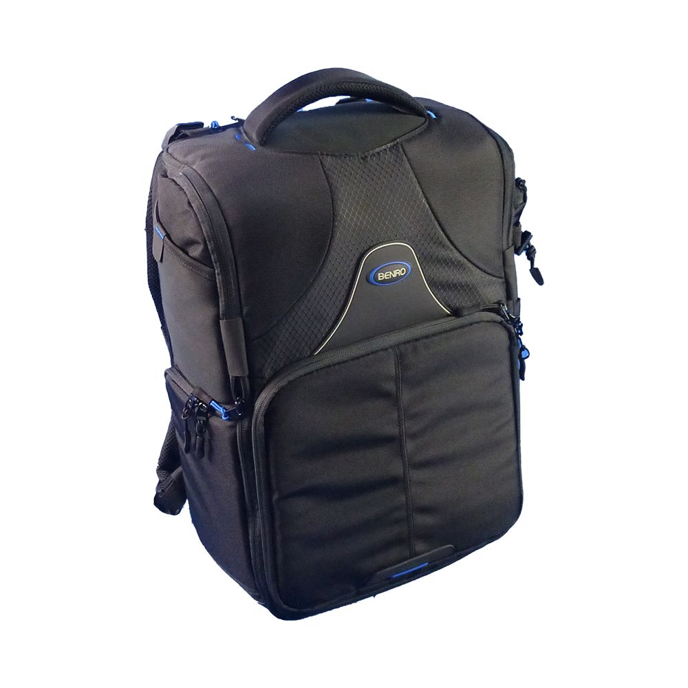
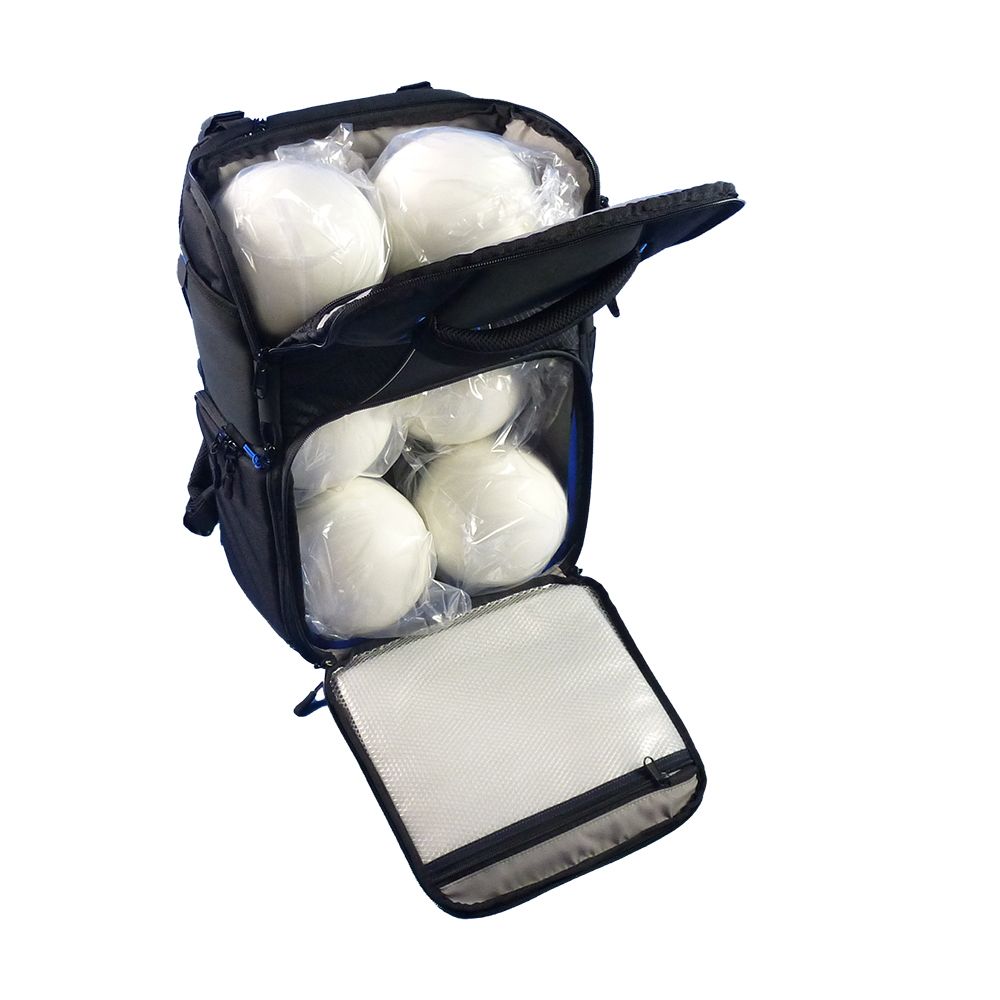
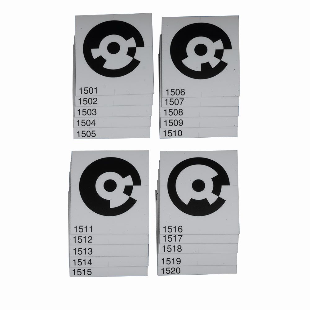
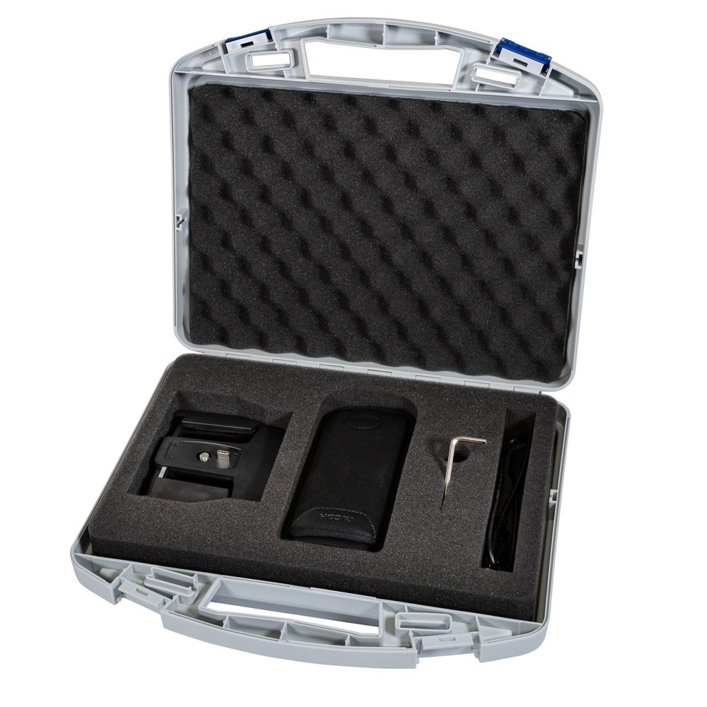
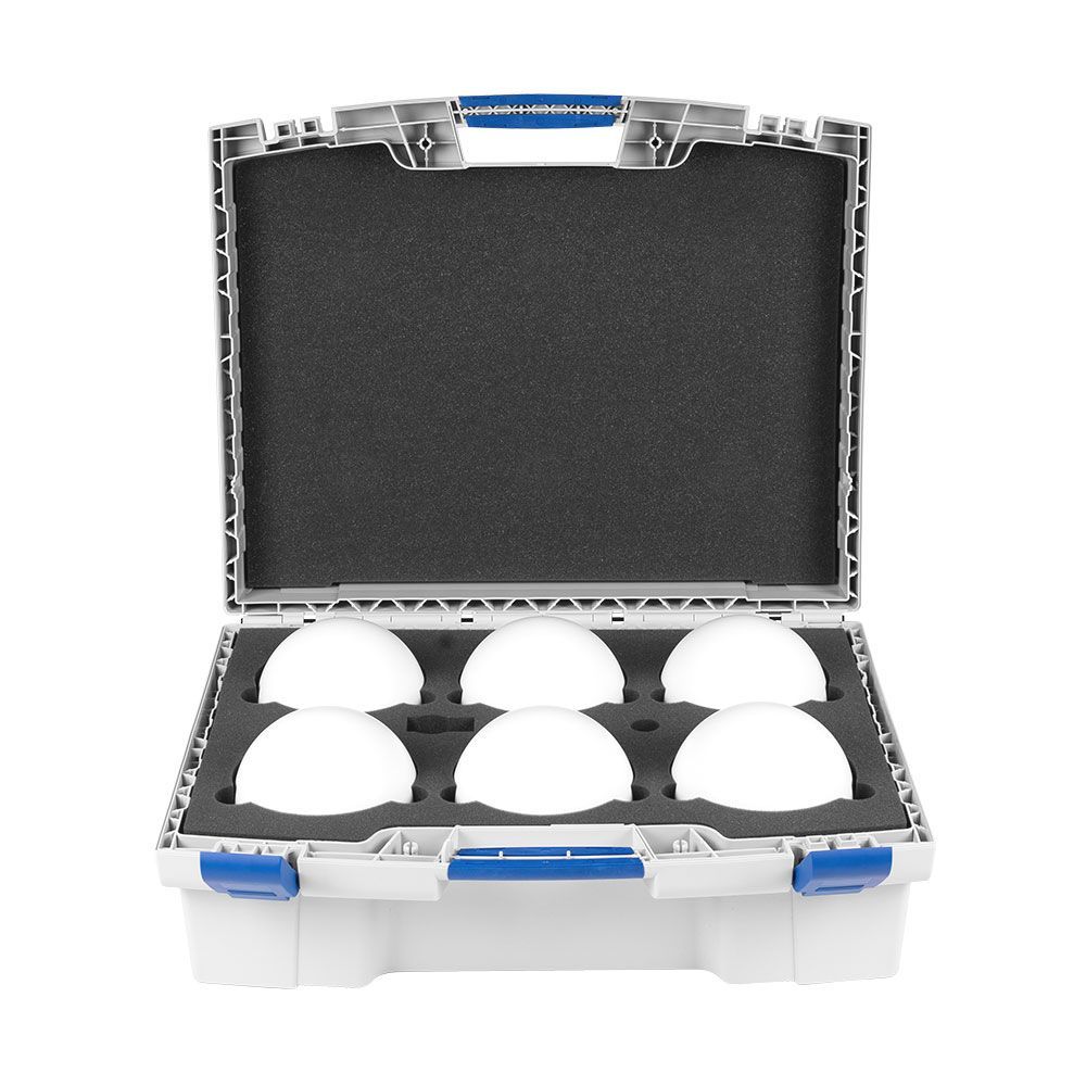
- Set includes 10 ground control points.
You may also like


Sign up for new product updates!
Be the first to know about new arrivals and store sales.
Contact Us
Gig Harbor, Washington